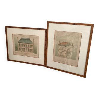
1739 Buck map Dover UK
🙈 Oops, this product is already sold or unavailable. Discover our 1500 new products or products similar to this item !
- Dimensions :
- H48 x W97 x D5
- Color :
- multicolour
- Material :
- paper
- Style :
- classic
This is a beautiful engraved large antique map by the british brothers samuel and nathaniel buck. The plate measures 82cm X 31cm. The map is titled "the north prospect of dover in the county of kent" and it was published march 26, 1739. It is in very good overall condition. It shows avertical creases, where it was once folded in half. Hand painted. The map was carefuly glued on a 89cm X 38cm carton ( keeping the plate area free from glue, so as to not damage the image). It includes the frame, making its total size 97cm X 46cm. These are sought after maps and seldomly available. I have a second one available listed separately. Thank you.


