Sold out


Page 1 of 6
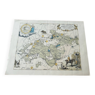
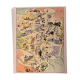
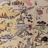
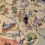
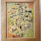
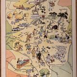
Old illustrated map of The Orleans Berry 1929 - JP Pinchon
€28
🎁 30€ off on your first order with the code SELENCY30.
Learn more
Enjoy €30 off with a minimum order value of €300 (delivery cost excluded).
🙈 Oops, this product is already sold or unavailable. Discover our 1500 new products or products similar to this item !
- Color :
- multicolour
- Material :
- paper
- Style :
- vintage
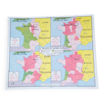
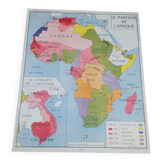
Old map of the orleans berry, illustrated by émile-joseph-porphyre pinchon (the cartoonist bécassine), extracted from "the provinces of france illustrated", published by blondel la rougery editions. Visible signature of j.p. Pinchon. Date: 1927. Dimensions: 23.5 cm X 29.7. To be framed. Perfect for a children's room or country house. Lithograph, engraving, painting, decoration, decoration, vintage, gift idea, Geography france loiret loire-et-cher indre cher eure-et-loire orléans chartres chambord blois pithiviers montargis vierzon bourges châteauroux.
🇫🇷
Mathilde S.
Super Pro
Sellers like this? We'd like to have thousands of them! This seller has fulfilled all of their clients' expectations. Will you be up next?
592 sales
4.97 ()