Unavailable


Page 1 of 11
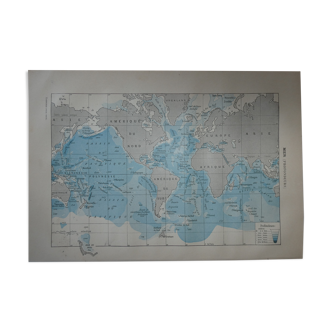
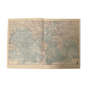
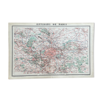
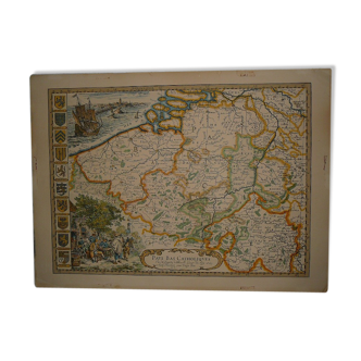
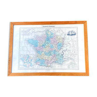
France physics, divided by basins map of 1890
€36
🙈 Oops, this product is already sold or unavailable. Discover our 1500 new products or products similar to this item !
- Dimensions :
- H32 x W46
- Color :
- white
- Material :
- paper
- Style :
- vintage
Map / plan of the physical france divided by basins (seine, loire, garonne, rhône and rhine) With an insert on paris. Scale: 1/3.800.000. Medium format: 32 X 45.5 cm. Engraving from an old book from 1890. Thick paper, marked by time. Not torn, no lack. Original central folding. To frame for decoration. Illustration / geography / geographical / history / wall art / frame / lithograph / encyclopedia / artwork / poster / poster / plate / XIX / vintage / old / retro / planisphere / globe / terrestrial / world / planetary atlas / plan / projection / sphere / world map.