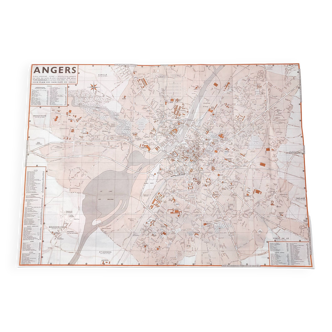
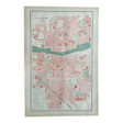
Map of Angers
- Dimensions :
- H46 x W31 x D1
- Color :
- multicolour
- Material :
- paper
- Style :
- vintage
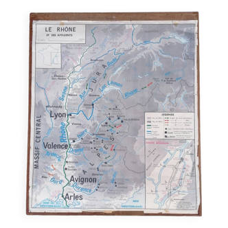
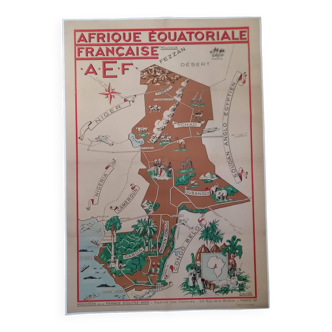
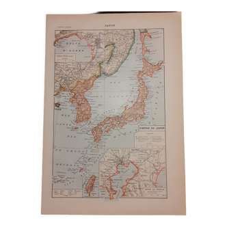
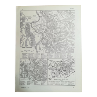
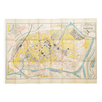
Original old map dating from 1883 31x46cm this is indeed an old original document and not a reproduction. 📦 shipped flat folded on itself between several layers of cardboard in order to make the package unfoldable, this type of old document cannot be rolled. Original central fold is barely visible once unfolded see photos. Do not hesitate to contact me to make a batch to save on shipping costs: for maps and lithographs you only pay one shipment. This map of angers highlights the urban structure of the city, articulated around the maine. The historic center, dense and compact, is marked by the presence of numerous public and religious buildings, some of which are highlighted in red. Green spaces and large institutions, such as barracks and religious establishments, mark the city and bear witness to its organization. The maine plays a central role in the development of angers, separating the districts and structuring the communication axes. The illustration highlights the angevin heritage and its evolution, between medieval heritage and modernization of the urban fabric.
5 ()