Sold out


Page 1 of 9
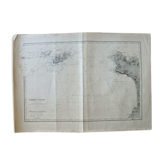
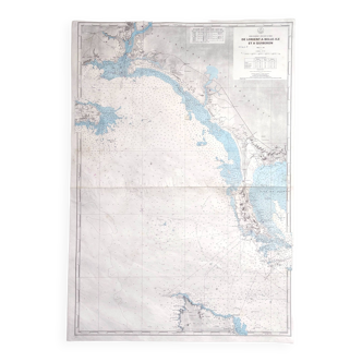
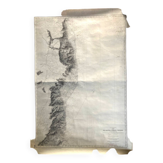
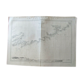
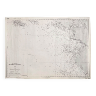
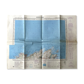
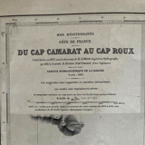
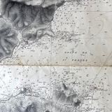
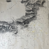
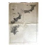
Map from Cap Camarat to Cap Roux: Gulf of St Tropez Ste Maxime Fréjus Côte d'Azur
This item has found its owner, but other one-of-a-kind items await you. 👇
Discover similar items- Dimensions :
- H106 x W75 x D1
- Color :
- white
- Material :
- paper
- Style :
- vintage
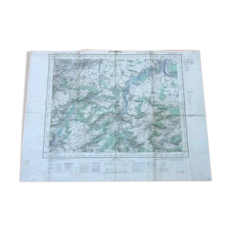
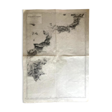
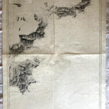
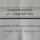
Map from cap camarat to cap roux, map released in 1897 (publication of 1953, edition n°2), hydrographic service of the navy: forest of the maures, forest of the esterel, gulf of st tropez, bay of cavalaire, ste maxime, st tropez, fréjus, circuit of the esquillon (106 X 74.5) traces of use.