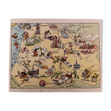
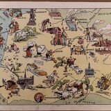
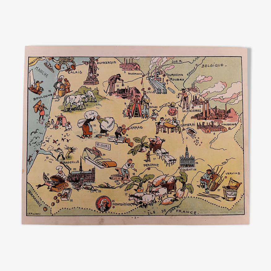
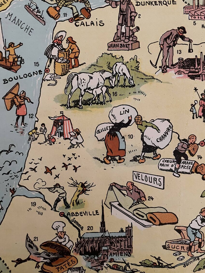
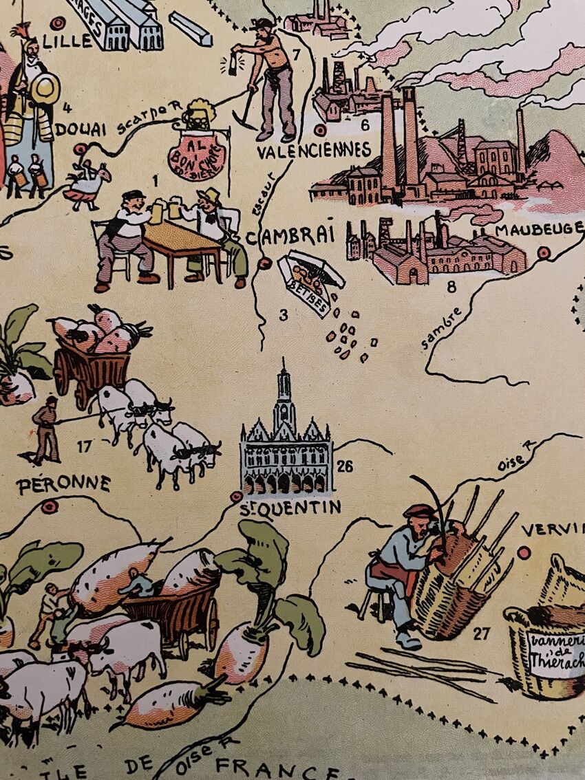
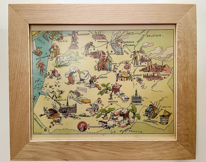
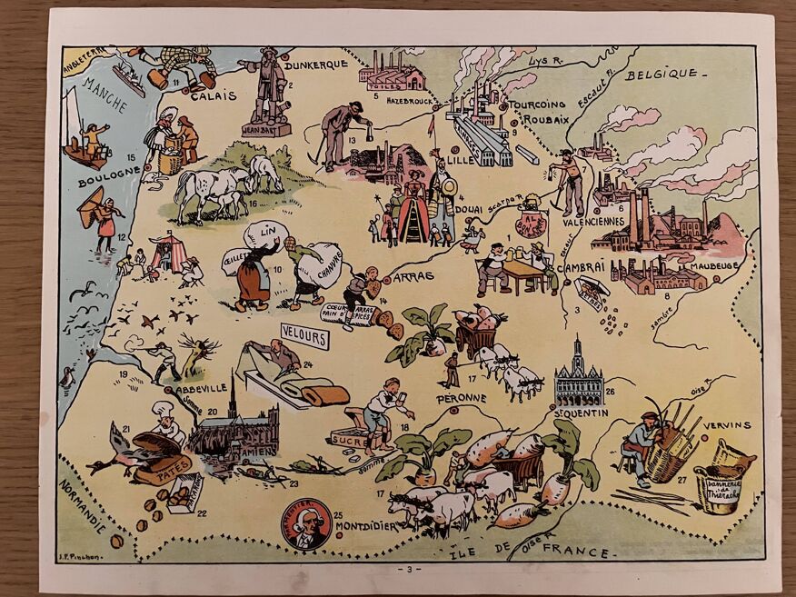
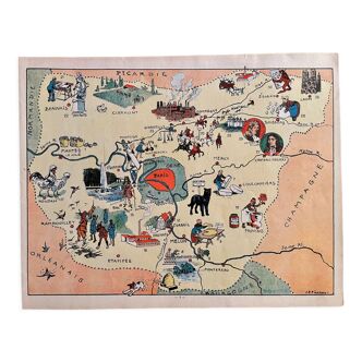
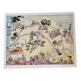
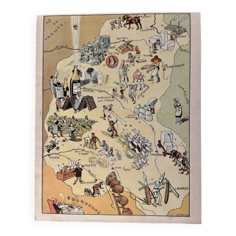
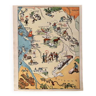
Old illustrated map of Flanders Artois Picardy 1948 - JP Pinchon
- paper
- multicolour
4.95 ()
🙈 Oops, this product is already sold or unavailable. Discover our 1500 new products or products similar to this item !
Description
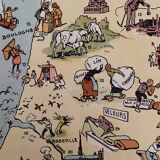
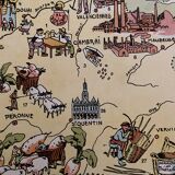
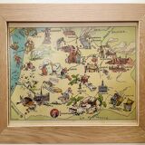
Old map of the regions flanders artois picardy, illustrated by émile-joseph-porphyre pinchon (the cartoonist bécassine), extracted from "the provinces of france illustrated", published by blondel la rougery editions. Visible signature of j.p. Pinchon. 💎 all lithographs and cards in this account are originals and not copies. Date: 1948. Dimensions: 23.5 X 29.7 cm. To be framed. Deco, decoration, vintage, gift idea and country house. Geography, france, amiens, somme, abbeville, saint quentin, aisnes, lille, maubeuge, valenciennes, tourcoing, roubaix, dunkirk, calais, boulogne, arras, pas de calais, nord, béthune, montreuil, hazebrouck, st pol, douai, santerre, cambrai.
Ref. : GA8DH1W6
- Color :
- multicolour
- Material :
- paper
- Style :
- vintage
4.95 ()
Return your item within 14 days
Cherry-picked items
Carrefully selected sellers
100% secured payment