


Page 1 of 7
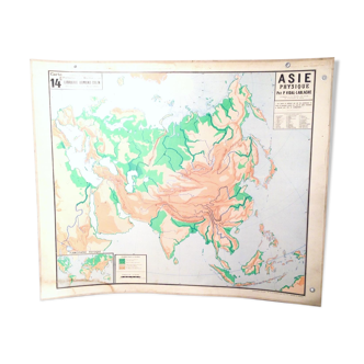
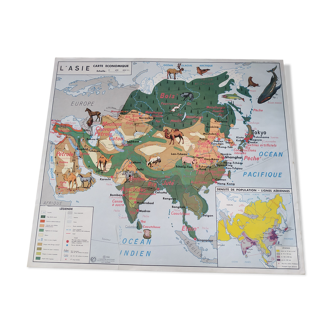
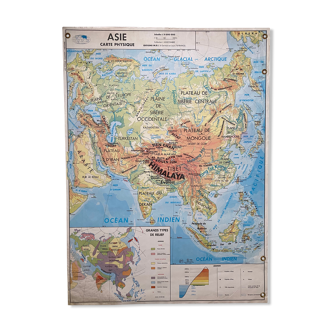
Geographical wall map of asia in the 19th century by y. trotignon.
€133 €150

Geographical wall map of asia in the 19th century by y. trotignon.
€133 €150
- Dimensions :
- H88 x W100 x D88
- Color :
- multicolour
- Material :
- paper
- Style :
- vintage
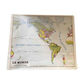
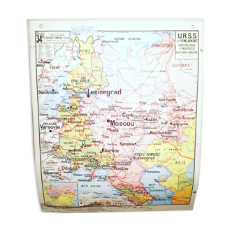
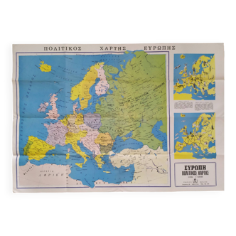
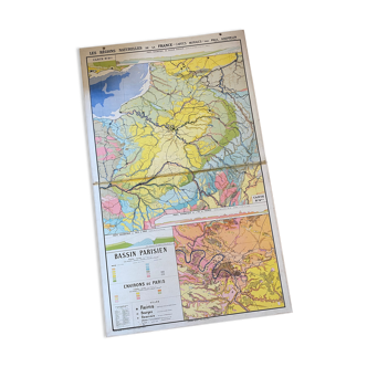
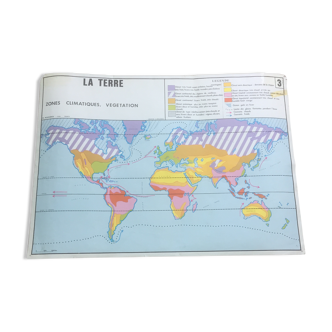
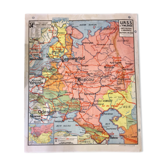
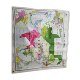
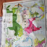
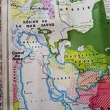
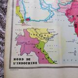
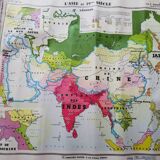
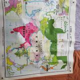
Old school wall map number 238 "asia in the 19th century" + framed "yellow sea region" and "northern indochina" by y. Trotignon associate of the university. Verso: the colonial partition of africa by y. Trotignon + framed "conquest of algeria" and "exploration of africa". Card number 239. Librairie hatier/ imprimerie michard. 1950s-1960s. Dimensions: 100x88cm. Metal eyelets to hang. Laminated, flexible, tear-resistant sermap. Good general condition for this card used in class. A few moisture stains on both sides. No tears. Somewhat wavy map.
🇫🇷
GWENN P.
New seller
This seller is starting on Selency, and we already love him. Go for it ❤️