Page 1 of 8
Old nautical chart - Gulf of Lion - Mediterranean Sea
€90
- H75 x W106
- paper
- white
Professional
This seller has been carefully selected for their reliability and unique items. Let yourself be tempted.
4.62 ()
Description
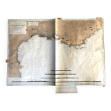
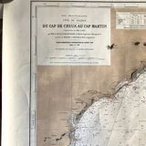
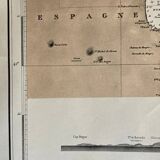
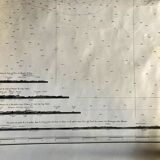
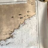
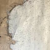
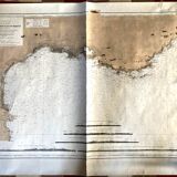
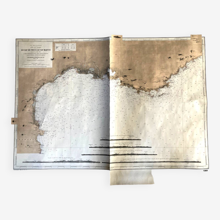
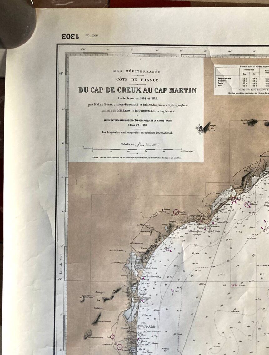
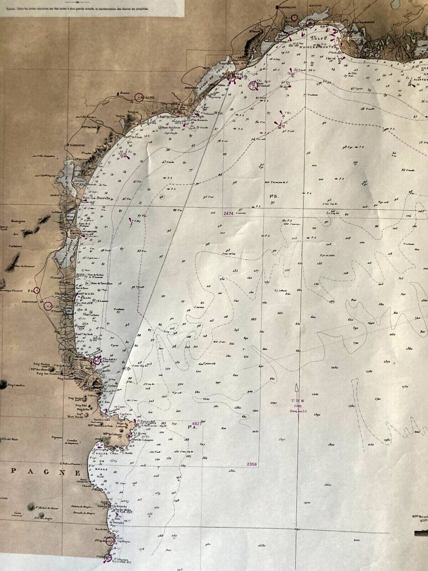
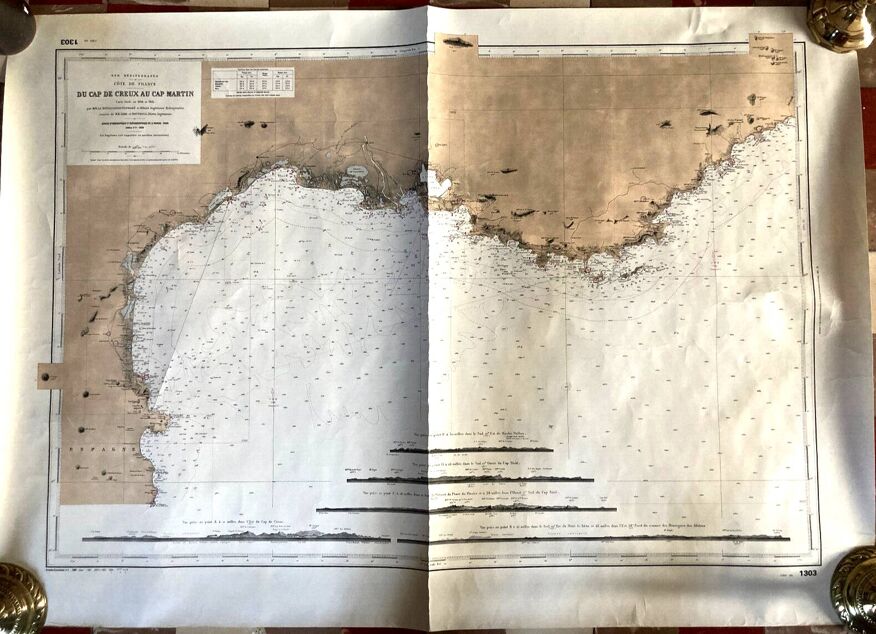
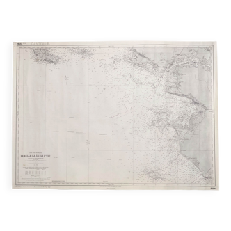
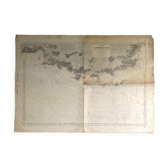
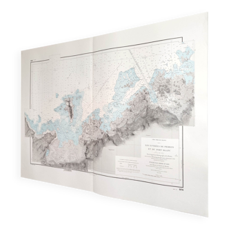
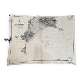
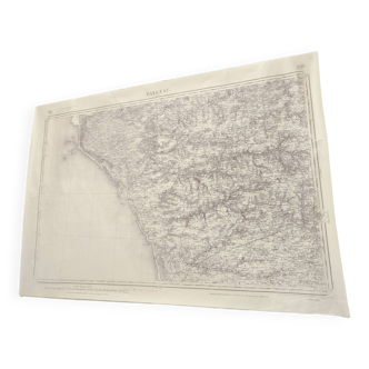
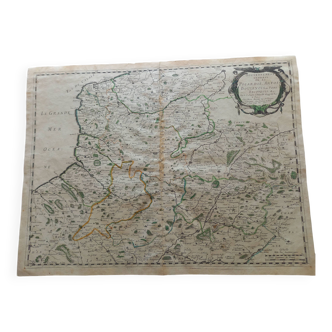
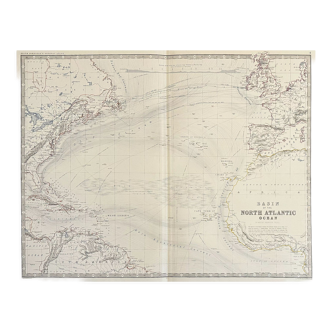
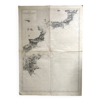
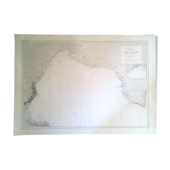
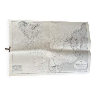
Marine map, Mediterranean Sea, Cap de Hollow at Cap Martin, Golf du Lion, map surveyed in 1844 and 1845, by MM Le Bourguignon -Duperré and Bégat, Hydrographic and Oceanographic Service of the Navy, edition number 4, published in 1958 - the card measures 106 x 75. Very good condition, trace of a fold across the width, discreet traces of handling.
Ref. : EFVSB7ES
- Dimensions :
- H75 x W106
- Color :
- white
- Material :
- paper
- Style :
- classic
Raphael A.
Professional
This seller has been carefully selected for their reliability and unique items. Let yourself be tempted.
348 sales
4.62 ()

Return your item within 14 days
Cherry-picked items
Carrefully selected sellers
100% secured payment