Page 1 of 9
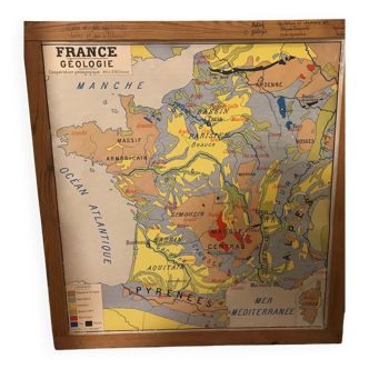
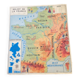
School geographical map of the reliefs of France
€90
School geographical map of the reliefs of France
€90
- Dimensions :
- H79 x W90 x D1
- Color :
- white
- Material :
- paper
- Style :
- vintage
Old school geographical map published by la maison des instituteurs which represents: table n°1: the reliefs of france table n°2: the coasts of the channel and the north sea with a representation and explanation of the cliffs and dunes. Good general condition 79 X 90.