Great deal
Page 1 of 8
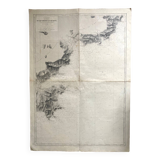
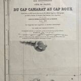
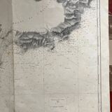
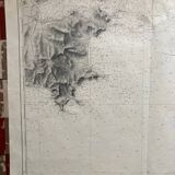
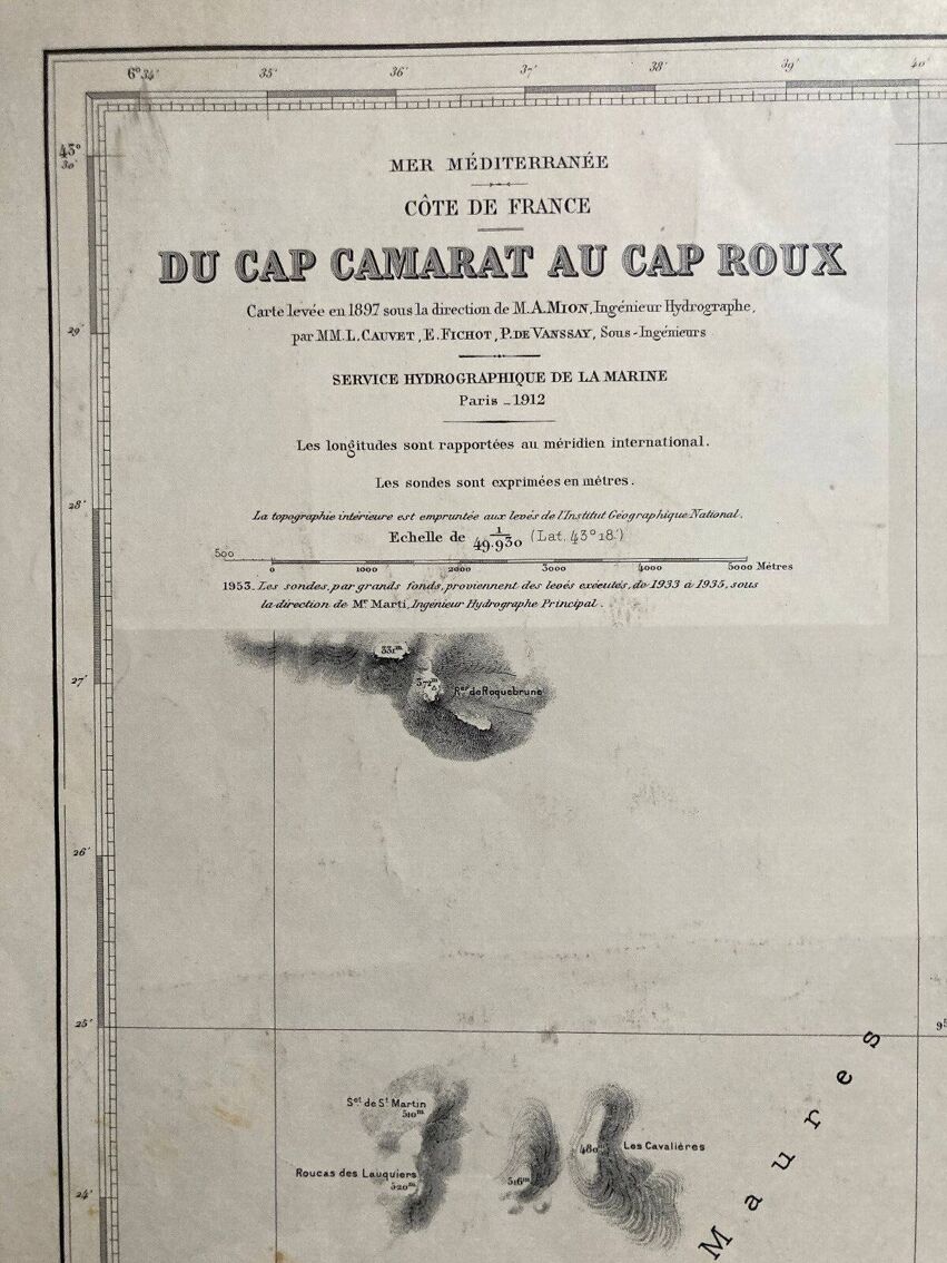
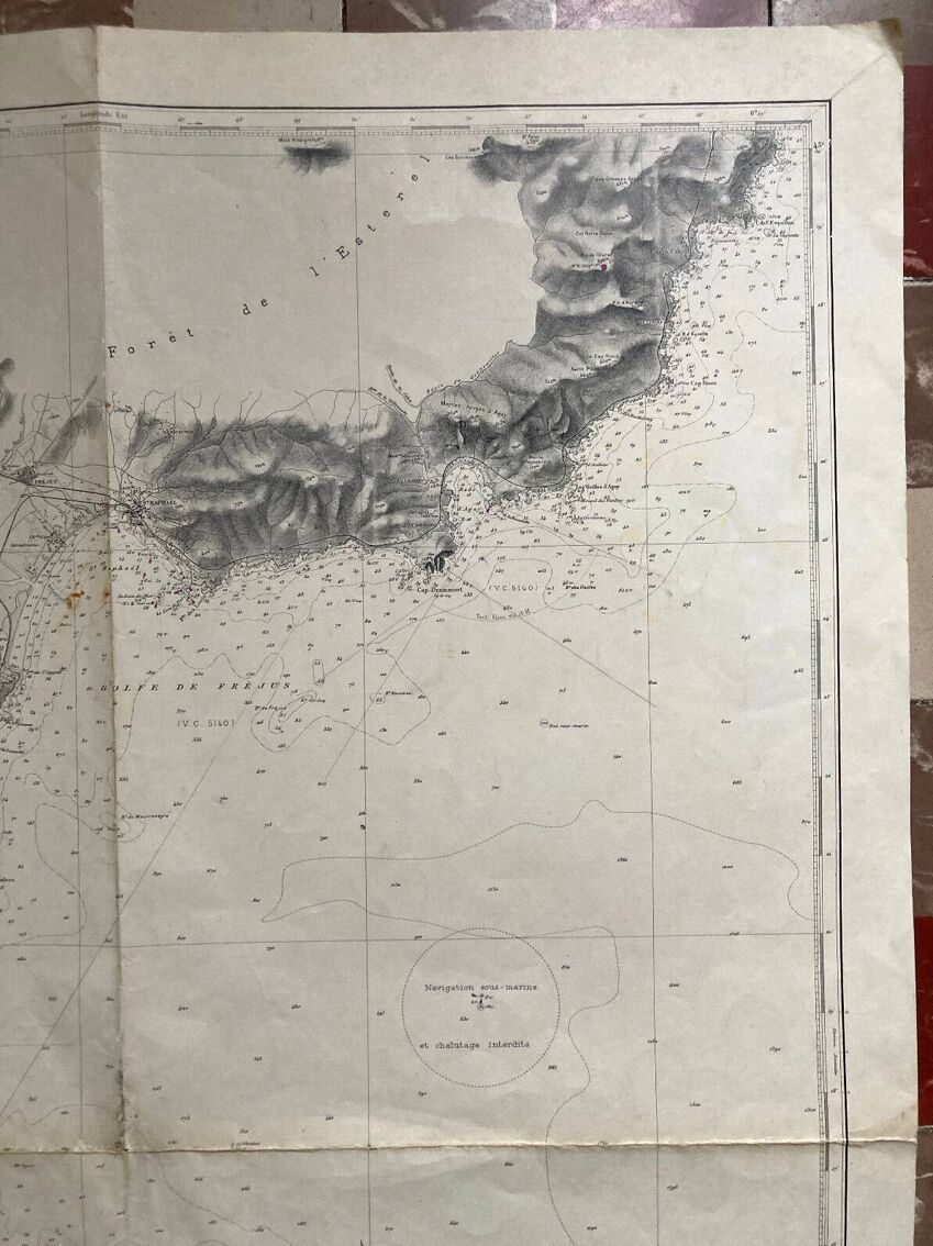
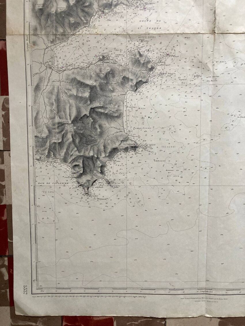
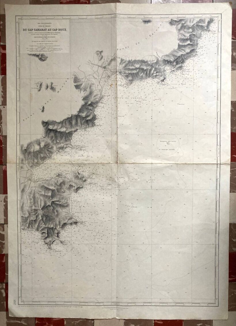
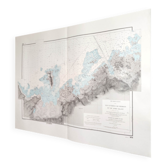
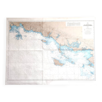
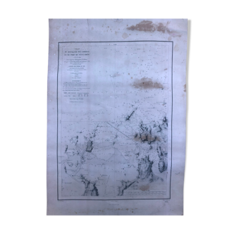
Old nautical chart - From Cap Camarat to Cap Roux via St Tropez St Raphael Ste Maxime
€80 €90
- Great deal
- H105 x W74
- paper
- white
Professional
This seller has been carefully selected for their reliability and unique items. Let yourself be tempted.
4.58 ()
Download the Selency app to receive notifications of price reductions on your favorites.
Description
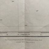
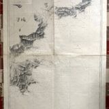
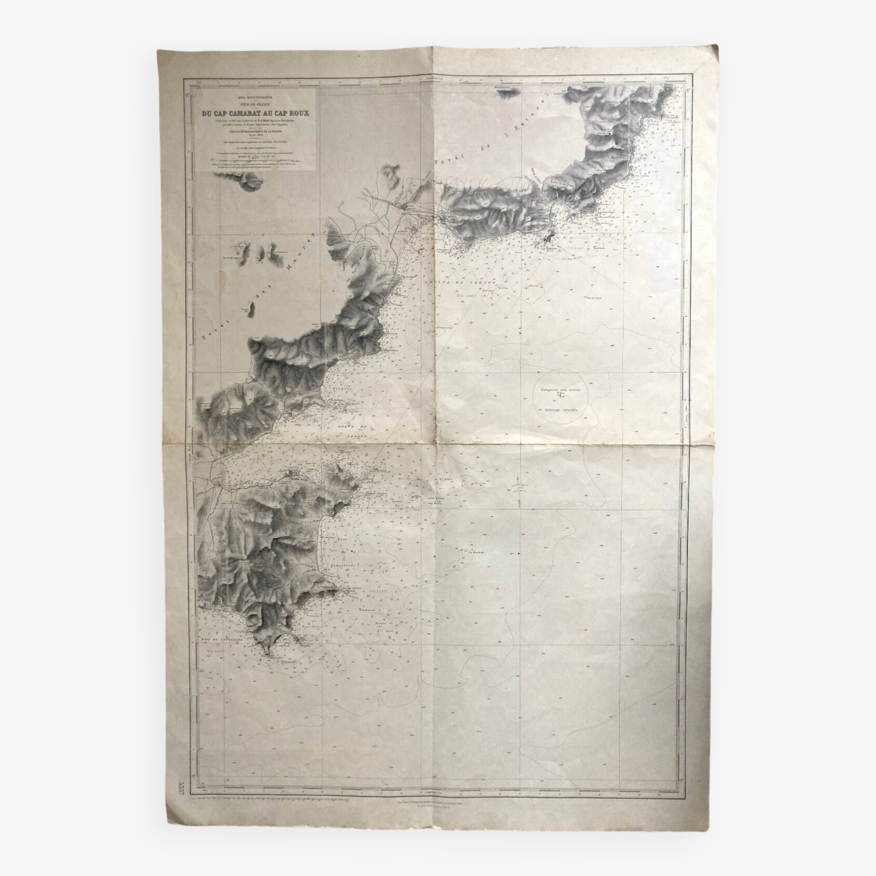
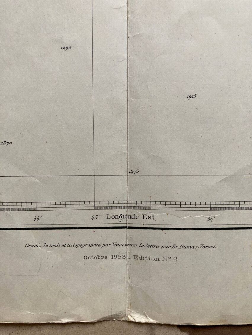
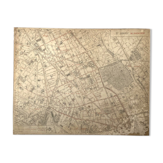
Marine map, 1912 from cap camarat to cap roux via fréjus, st tropez, st raphaël, ste maxime map drawn up in 1897 under the direction of ma mion, reissued in 1953 the map measures 105.5 X 74. Traces of folds in the width, as in the length, traces of handling.
Ref. : CVWDQ1ZW
- Dimensions :
- H105 x W74
- Color :
- white
- Material :
- paper
- Style :
- vintage
🇫🇷
Raphael A.
Professional
This seller has been carefully selected for their reliability and unique items. Let yourself be tempted.
354 sales
4.58 ()
Our suggestion of similar items
Discover more similar items-20%
-39%


Page 1 of 10
Return your item within 14 days
Cherry-picked items
Carrefully selected sellers
100% secured payment