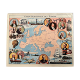
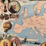
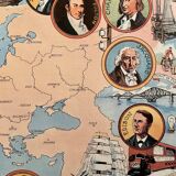
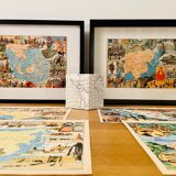
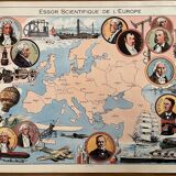
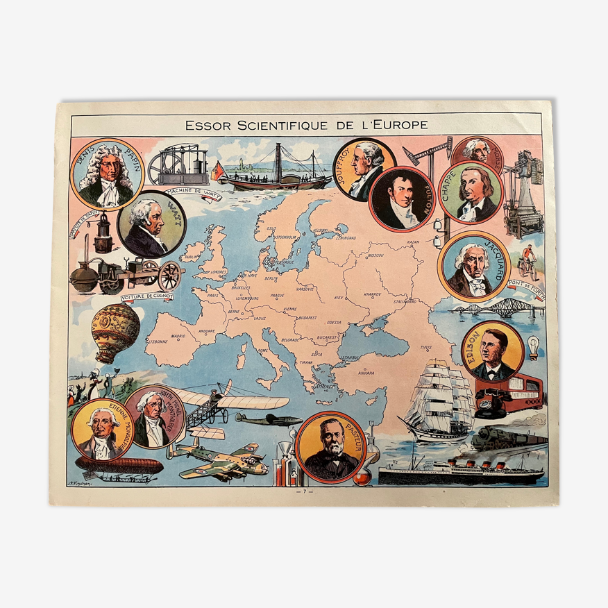
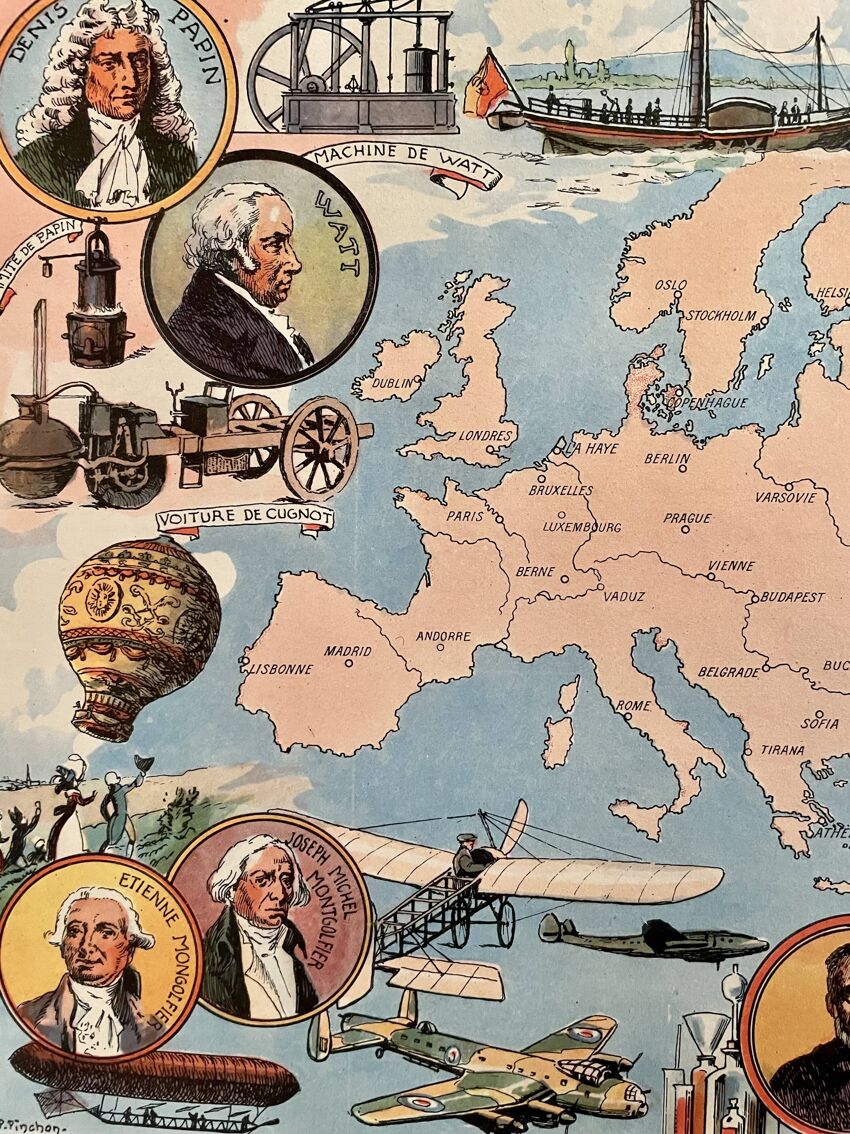

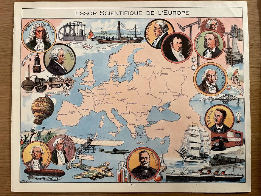
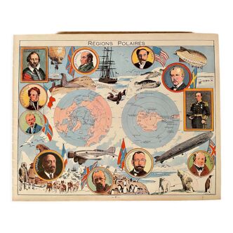
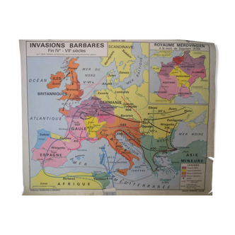
Old illustrated map of Europe (scientific boom) from 1948 - JP Pinchon
- paper
- multicolour
4.95 ()
Description
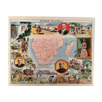
Ancient extremely rare map of the scientific rise of europe (original), illustrated by émile-joseph-porphyre pinchon (the cartoonist bécassine), extracted from an old atlas on the history of the world. 💎 all lithographs and maps in this account are originals and not copies. Visible signature of j.p. Pinchon. Date: 1948. Dimensions: 24 X 30 cm. To be framed. Decoration, country house decoration, vintage, gift idea. Geography mapping passion travel agency film and movie set europe explorers france spain italy greece.
Ref. : CPXKUCZG
- Color :
- multicolour
- Material :
- paper
- Style :
- vintage
4.95 ()
Return your item within 14 days
Cherry-picked items
Carrefully selected sellers
100% secured payment