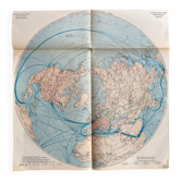
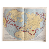
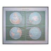
Airlines — Northern Hemisphere | Polar Projection

- Dimensions :
- H63 x W65 x D1
- Color :
- multicolour
- Material :
- linen
- Style :
- vintage
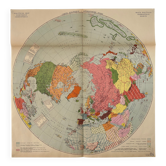
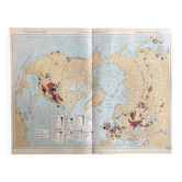
Large map of airline routes in the Northern Hemisphere in polar projection, printed in France. A spectacular representation of the major axes of global air traffic connecting Europe, North America, the USSR, and Asia. The dense network of lines and connections creates a mapping that is both technical and extremely graphic, typical of geopolitical atlases from the 20th century. The circular projection enhances the visual impact of the whole, making it a remarkable decorative piece. Stunning visual presence once framed. Trilingual legends (French, English, Spanish). Condition: very good state of preservation, particularly appreciated for this type of old document. Carefully packaged and protected delivery, or free collection in Paris and Lyon.
4.94 ()
Earth globes & geographical maps: other similar vintage pieces
Discover more similar items- -14%
- -11%
- -15%
- -19%
- -14%
- -21%