Unavailable


Page 1 of 9
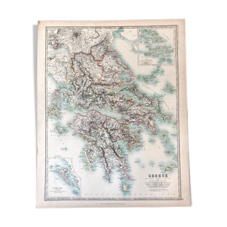
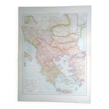
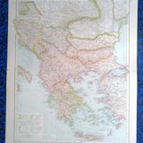
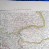
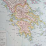
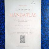
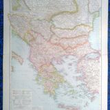
A geographical map from the Richard Andrees atlas year 1887 Balkanhalbinsel Greece
€22
🙈 Oops, this product is already sold or unavailable. Discover our 1500 new products or products similar to this item !
- Dimensions :
- H56 x W42
- Color :
- multicolour
- Material :
- paper
- Style :
- vintage
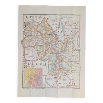
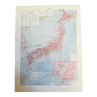
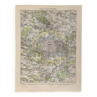
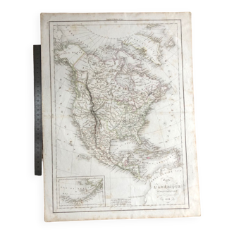
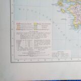
This map comes from a richard andrees atlas from 1887 and is folded. On the back on each half a card there is vorderasien & persien konstantinopel card. There is the photo of the cover page to justify its provenance, it is not sold with it. This card is shipped in a large reinforced envelope. The format given is that of the unfolded card. The card support is relatively thick, therefore good support for possible framing. Several maps available.