


Page 1 of 11
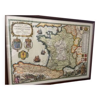
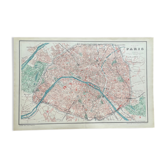
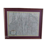
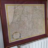
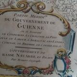
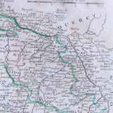
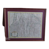
Old map of Guyenne by de Vaugondy around 1753
€150 €220
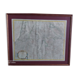
Old map of Guyenne by de Vaugondy around 1753
€150 €220
- Dimensions :
- H64 x W76 x D5
- Color :
- multicolour
- Material :
- paper
- Style :
- classic
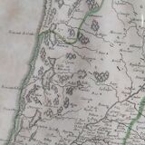
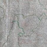
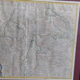
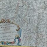
Map of the "southern part of the government of guienne where are located the condomois, the chalosse, the pays de soule, the labpour, the armagnac, the landes, the cominge, the bigorre, the conserans &, government of lower navarre and bearn, by sr. Robert (de vaugondy) geographer". About 1753. Engraved map. Laid paper. Title cartridge at the bottom left. Beautiful colors. Framed map. Card size: 53 X 73 framed 64 X 78.
🇫🇷
catherine T.
Professional
This seller has been carefully selected for their reliability and unique items. Let yourself be tempted.
96 sales
4.78 ()