Sold out


Page 1 of 11
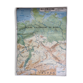
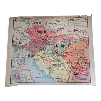
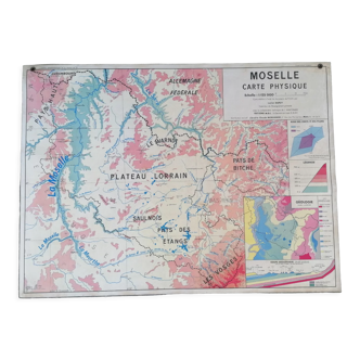
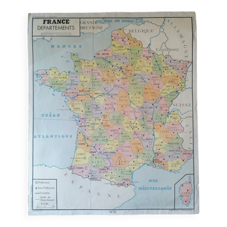
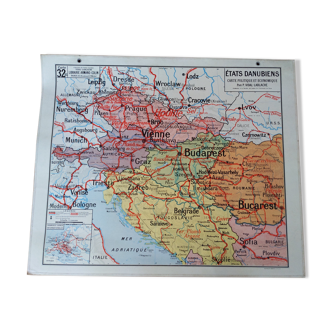
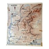
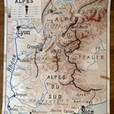
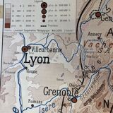
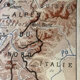
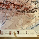
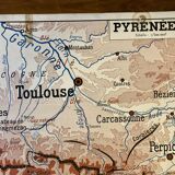
Map Alps and Pyrenees
This item has found its owner, but other one-of-a-kind items await you. 👇
Discover similar items- Dimensions :
- H75 x W90
- Color :
- multicolour
- Material :
- paper
- Style :
- vintage
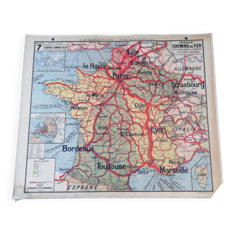
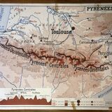
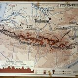
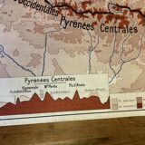
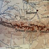
For lyonnais, nice, bordeaux, toulouse. This wall map was published in the 50s and 60s by rossignol in montmorillon. It was used in geography learning support classes. Classic wear and tear related to the use of this paper card. It presents on the front the relief and population density of the south-east of the france and on the back the south-west. This wall map has a lot of charm. Dimensions: width 75cm / height 90cm.