Unavailable


Page 1 of 11
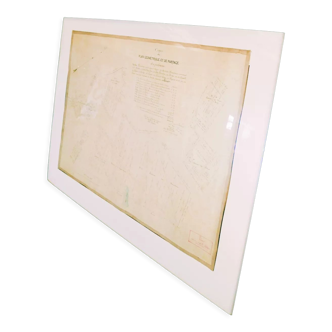
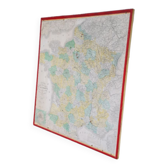
Map of Mexico's Interoceanic Highway
€180
🙈 Oops, this product is already sold or unavailable. Discover our 1500 new products or products similar to this item !
- Dimensions :
- H21 x W90
- Color :
- multicolour
- Material :
- paper
- Style :
- vintage
Beautiful map of mexico's interoceanic route, published in the 1950s by julio cesar gomez. It shows the many assembly lines that cross the road and the main stopping points: taxco, iguala, mexico city and many others. Conservation status: a. Date: circa 1950. Author: julio cesar gomez julio cesar gomez. Size: 20.5*90 cm.