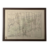
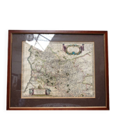
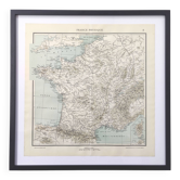
Engraving from the 18th century - map of Rome by J. Senex (1678 - 1740)

- Dimensions :
- H67 x W75 x D2
- Color :
- multicolour
- Material :
- paper
- Style :
- industrial
Very beautiful old engraving from 1721 from an atlas entitled *A New General Atlas, Containing a Geographical and Historical Account of All the Empires, Kingdoms, and other Dominions of the World with the Natural History and Trade of Each Country*. Engraving made by the English cartographer, John Senex (1678-1740), who served Queen Anne. The engraving depicts a spectacular and rare plan of the city of Rome, beautifully adorned with four views of buildings and a detailed legend listing 250 points of interest and monuments. The four large vignettes, located in the corners, represent: The Colosseum, St. Peter's, the Tomb of Caius Cestius, and Trajan's Column. The engraving is in very good condition and was framed in the 1980s in a specialist shop in a store in Rome (see photos). Dimensions: Height: 67 cm. Length: 75.5 cm.
Earth globes & geographical maps: other similar vintage pieces
Discover more similar items- -28%
- Sold out
- -12%
- -27%
- -43%
- -75%
- -11%
- -12%