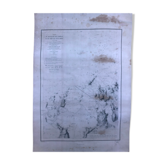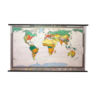


Page 1 of 23
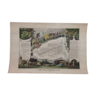
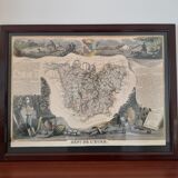
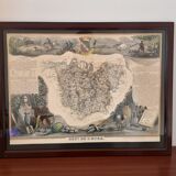
Genuine old map 1854
€175 €300
🎁 30€ off on your first order with the code SELENCY30.
Learn more
Enjoy €30 off with a minimum order value of €300 (delivery cost excluded).
Genuine old map 1854
€175 €300
- Dimensions :
- H37 x W48 x D2
- Color :
- beige
- Material :
- paper
- Style :
- classic
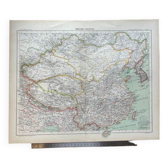
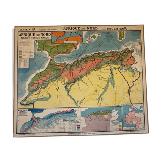
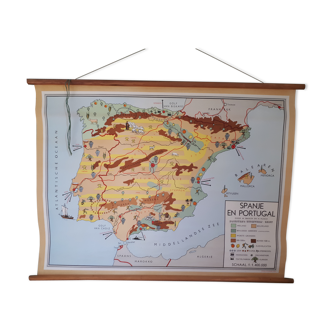
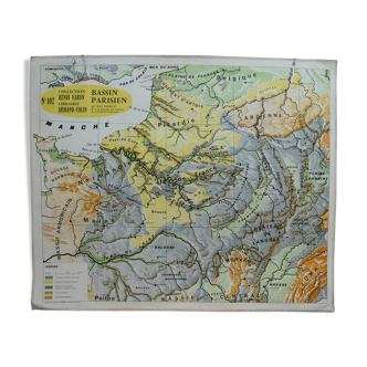
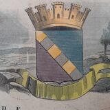
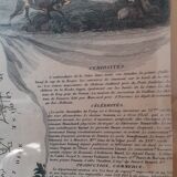
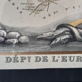
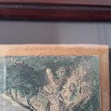
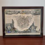
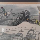
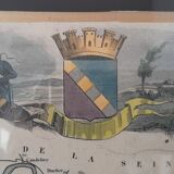
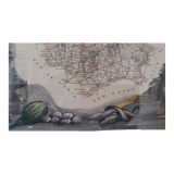
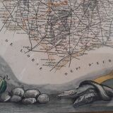
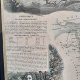
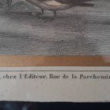
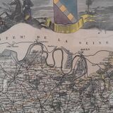
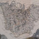
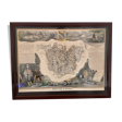
Genuine old map of the department of Eure dating from 1854 from the "illustrated national atlas of the 86 departments and possessions of France" by Victor Levasseur published in 1854. Hand-painted map with a few touches of color. The map has been enhanced with gold paint and probably framed in black, you can see the writing on the right and left a little transparent. The map is delivered in its original frame which has crossed time, hence still some marks. Format of the table: 48 X 36.6 X 1.1 cm.