Sold out


Page 1 of 15
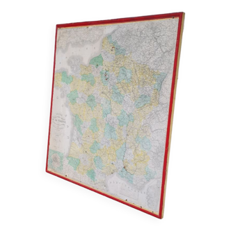
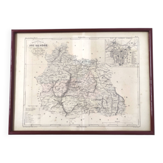
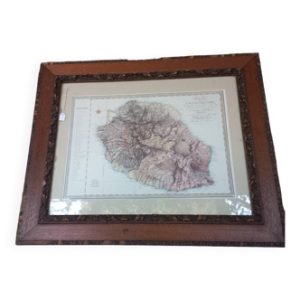
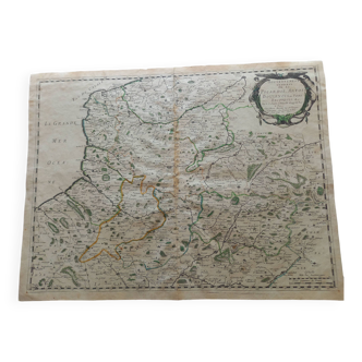
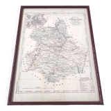
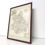
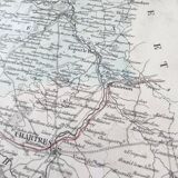
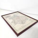
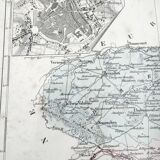
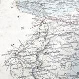
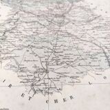
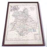
Engraving map of Eure-et-Loir region Centre-Val de Loire wooden frame old map of Chartres
€40
🙈 Oops, this product is already sold or unavailable. Discover our 1500 new products or products similar to this item !
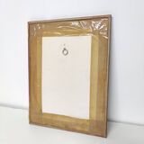
- Dimensions :
- H39 x W29 x D29
- Color :
- multicolour
- Material :
- paper
- Style :
- vintage
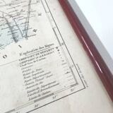
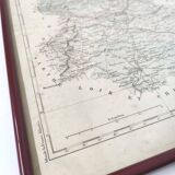
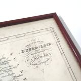
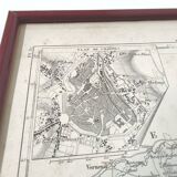
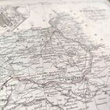
Pretty old engraving map of eure-et-loir, in the centre-val de loire region. Zoom on the old map of chartres. Map drawn up under the direction of malte-brun by geographer ah dufour (1884). Burgundy-colored wooden frame, under glass. Length 39cm height 29cm. Beautiful condition, traces of time.
🇫🇷
Alan P.
Super Pro
Sellers like this? We'd like to have thousands of them! This seller has fulfilled all of their clients' expectations. Will you be up next?
1136 sales
4.98 ()