


Page 1 of 6
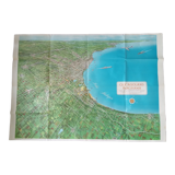
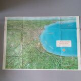
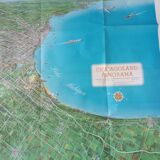
Chicago Panorama Map by Homer Grooman
€400

Chicago Panorama Map by Homer Grooman
€400
- Dimensions :
- H88 x W123
- Color :
- multicolour
- Material :
- paper
- Style :
- vintage
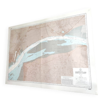
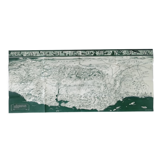
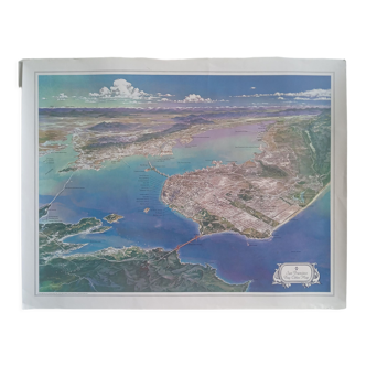
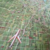
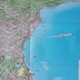
This is a rare and exciting bird's-eye view of the chicago metropolitan area as it was in the late 1950s. The photo extends to dubuque, iowa, madison and fond du lac, wisconsin. Cities, rivers, canals, and highways are mentioned, as well as various landmarks, including the soldiers' land, museum of science and industry, great lakes naval training center, gary, indiana steel mills, four intake tanks, beaches, and state parks. At the bottom left, an airliner is preparing to land at midway, o'hare or meigs field. This map perfectly illustrates the expansion and population density of the chicago metropolitan area over the past 58 years, since the printing of this bird's-eye view. In good condition. Large format. 123*88 cm.