Sold out


Page 1 of 10
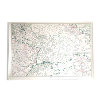
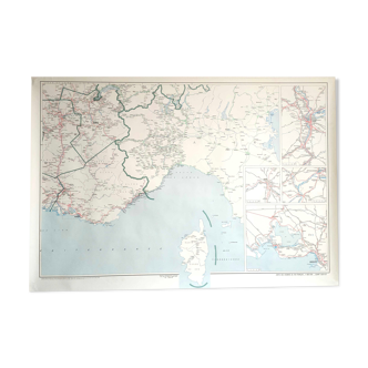
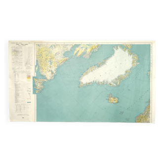
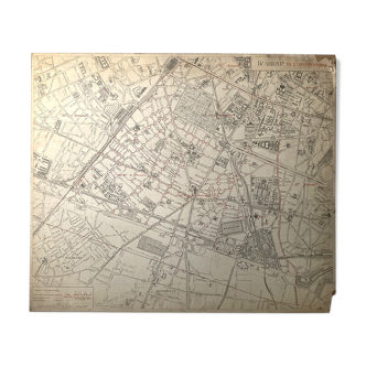
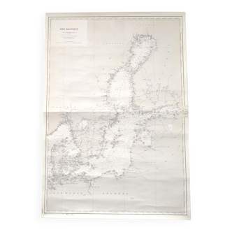
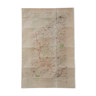
SNCF map in old Brittany
This item has found its owner, but other one-of-a-kind items await you. 👇
Discover similar items- Dimensions :
- H73 x W105 x D1
- Color :
- multicolour
- Material :
- paper
- Style :
- vintage
Pretty big vintage sncf map drawn in 1942, let's edit from 1978. It represents the railway network of western france, from the tip of finistère to paris and nantes. Rolled up paper card. Length 105cm and height 73cm.