


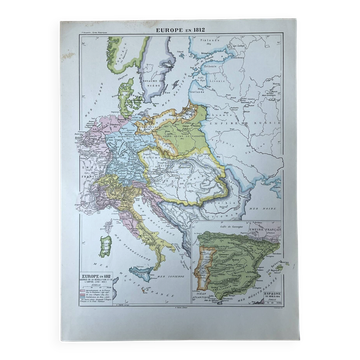
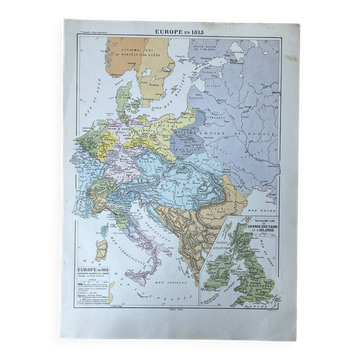
Political map of Europe in the 18th century 37x27cm - 1908
€19

Political map of Europe in the 18th century 37x27cm - 1908
€19
- Dimensions :
- H37 x W27 x D1
- Color :
- multicolour
- Material :
- paper
- Style :
- vintage
Colour map "Continental Politics in the 18th Century", published by A. Hatier (1908). A palette of pastel shades (green, pink, blue, orange, yellow) depicting the whole of Europe, from the Kingdom of Prussia to Russia, including Poland, Austria, and the Balkans. An ideal graphic piece to decorate a corridor, an office, or a library, and for enthusiasts of cartography and antique curiosities. Size: 37 X 27 cm. Condition: very good. Careful and protected delivery, or free collection in Paris and Lyon.
🇫🇷 HPF S.Professional sellerSuper ProSuper Pro : these sellers are experienced and best-rated by our customers.See the shop
326 sales
4.92 ()
Earth globes & geographical maps: other similar vintage pieces
Discover more similar items- -11%
- -14%
- -14%
Item 1 of 20