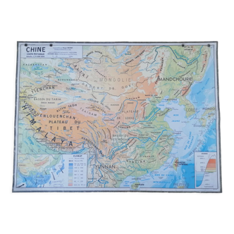
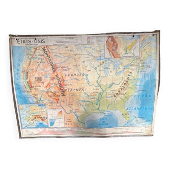
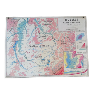
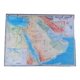
The French Empire, original map printed in 1892.
This item has found its owner, but other one-of-a-kind items await you. 👇
Discover similar items- Dimensions :
- H33 x W48
- Color :
- multicolour
- Material :
- paper
- Style :
- classic
This is an authentic antique print, not a modern reproduction. Here you will find only original prints that have stood the test of time with a truly aged appearance. 🧭 Travel back in time and explore the French Empire in 1892 with this magnificent, large-format, colorful, and detailed map by A. Vilpou. Printed in Saint-Cloud in 1892. The year of the deaths of Ernest Renan and Louis Vuitton! A little historical tidbit; ) Geographical maps, world maps, botanical and anatomical plates, advertising prints, engravings, and photographs of all kinds, for authentic retro vintage decor. An original gift, for yourself or someone else! 📏 Map dimensions: W48cm X H33cm. ⚠️Original, discreet central fold. ⚠️The map will be shipped folded in half along this fold. ⚠️Frame not included. 📦Fast, secure, and careful shipping. Items are shipped flat in a plastic sleeve and a rigid cardboard envelope. Carefully packaged and personalized. Feel free to ask me to include a personalized message if you wish to give this order as a gift for a special occasion. 🔎 Items are listed as being in "good condition" considering their age; naturally, they show some signs of wear. The photos will allow you to see the actual condition, as the item pictured will be the one shipped—there is no stock. 🚚 Shipping within France and internationally. 69.