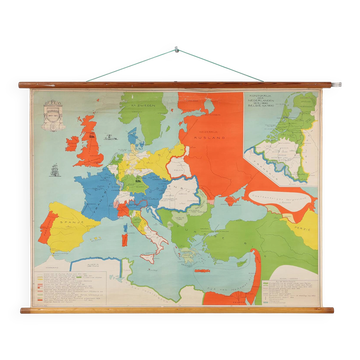
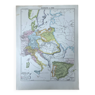
Vintage Historical Wall Map of Europe Around 1812, Belgium, 1950s

- Dimensions :
- H84 x W110 x D3
- Color :
- multicolour
- Material :
- canvas
- Style :
- industrial
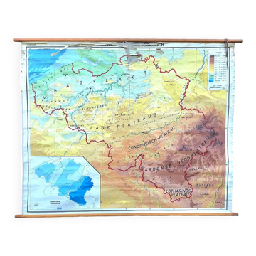
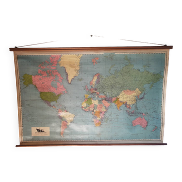
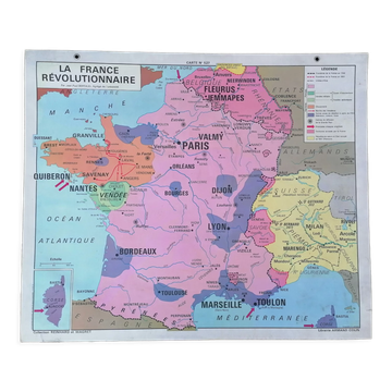
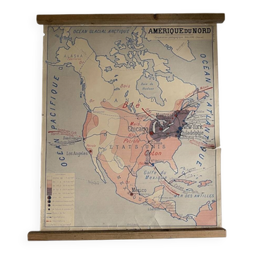
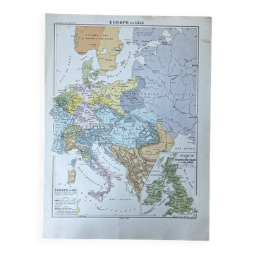
This striking mid‑century school map presents Europe as it appeared around 1812, during a period of dramatic political transformation. Designed by Inst. J.B. Wolters Mij., Groningen and produced in Belgium in the 1950s, it retains its original classroom character with a canvas backing and wooden mounting rods that give the piece both warmth and authenticity. The map’s vivid colors and clear graphic style reflect the visual language of postwar educational materials, making it as decorative as it is historically engaging. The chart captures Europe at the height of the Napoleonic era, with color‑coded regions that reveal the shifting borders, alliances, and spheres of influence that defined the early nineteenth century. Cities, territories, and routes are marked with precision, offering a fascinating snapshot of a continent in motion. Its large scale and bold palette make it an eye‑catching wall piece, while the gentle patina of the canvas and wood adds the charm of genuine classroom use. Beyond its historical value, the map functions beautifully as interior décor. It brings a sense of exploration and curiosity to any room, inviting viewers to trace past journeys or imagine future ones. Whether displayed in a study, living room, creative workspace, or office, it becomes an immediate conversation starter and a distinctive statement for anyone drawn to geography, vintage academic materials, or European history.
5 ()
Earth globes & geographical maps: other similar vintage pieces
Discover more similar items- -20%
- -19%
- -14%
- -36%
- -12%