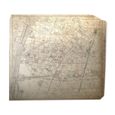
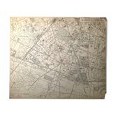
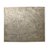
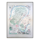
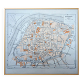
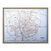
Plan of Versailles at the end of the 19th century
This item has found its owner, but other one-of-a-kind items await you. 👇
Discover similar items- Dimensions :
- H46 x W31 x D1
- Color :
- printed
- Material :
- paper
- Style :
- vintage
Original old map dating from 1883 31x46cm **map of the city and park of versailles – edition a. Fayard** old map of the city of **versailles** and its park, published by **a. Fayard** in paris. It accurately represents the urban planning of the city, the main monuments, as well as the layout of the royal estate, including the **castle, the gardens and the grand and petit trianon**. Printed in two shades, red and green, it offers a clear reading of the buildings and natural spaces. The careful details and the quality of the layout make it a document that is both decorative and informative. In good condition, this map may interest fans of old cartography, the history of **versailles** or architectural heritage. It will find its place in an office, a library or a collector's cabinet. This is indeed an original old document and not a reproduction. 📦 shipped flat folded on itself between several layers of cardboard to make the package unfoldable, this type of old document cannot be rolled. Original central fold is barely visible once unfolded see photos. Do not hesitate to contact me to make a batch to save on shipping costs: for cards and lithographs you only pay one shipment.
Earth globes & geographical maps: other similar vintage pieces
Discover more similar items- -10%
- Sold out
- -6%