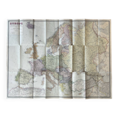
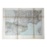
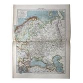
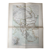
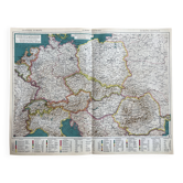
Very large map 93x73: Physical and Political Europe, printed by L

- Dimensions :
- H73 x W93 x D1
- Color :
- multicolour
- Material :
- paper
- Style :
- vintage
Original map sheet created and drawn by Foldex, 111 rue Legendre Paris XVII, printed by Lescure Paris. Physical and political map of Europe at a scale of 1: 6, 000, 000 — state borders, administrative divisions, capitals, railways, canals, and pipelines are represented with remarkable precision. The independent Baltic countries (Estonia, Latvia, Lithuania) visible on the map allow for the dating of this edition to the interwar period — a valuable historical document reflecting a Europe with borders that have since changed. Dimensions: 93.5 X 73.5 cm — large wall map, spectacularly framed. Condition: some creases and handling defects, the patina of time adds to its charm and authenticity. Carefully packaged and protected delivery, or free collection in Paris and Lyon.
4.94 ()
Earth globes & geographical maps: other similar vintage pieces
Discover more similar items- -20%
- -52%