


Page 1 of 11
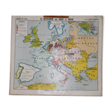
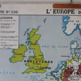
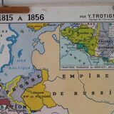
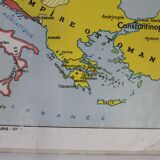
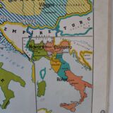
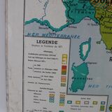
Ancient school map No.230 Europe from 1815 to 1856/Central Europe from 1848 to 1871
€145 €200

Ancient school map No.230 Europe from 1815 to 1856/Central Europe from 1848 to 1871
€145 €200
- Dimensions :
- H88 x W100 x D1
- Color :
- multicolour
- Material :
- paper
- Style :
- vintage
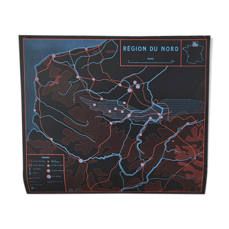
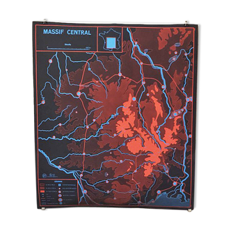
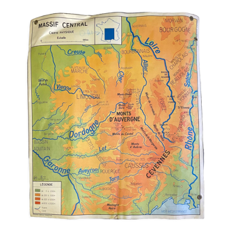
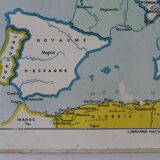
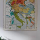
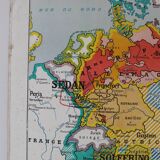
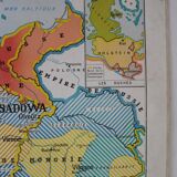
Old school map no. 230 "europe from 1815 to 1856" - boxed "french border of north-east-belgium" on the front / no. 231 "central europe from 1848 to 1871" - framed "the duchy, " "italy in 1848" back. By y.trotignon. Hatier bookstore - michard printing - 1950-60s. Dimensions: 100x88 cm. General status: good condition, pretty patina for this map used in class (see photos details). Clinging metallic eyebeds, fabric borders ok. A few damp spots.