
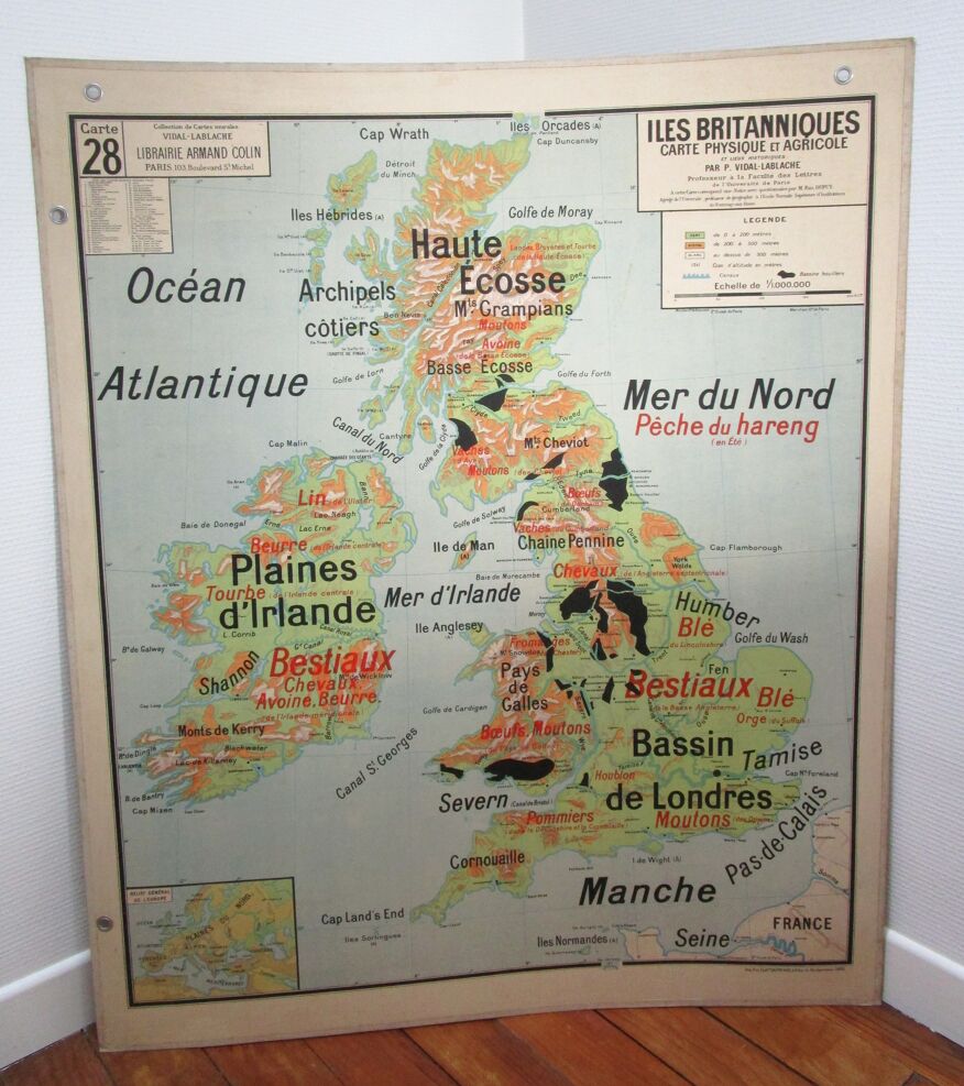
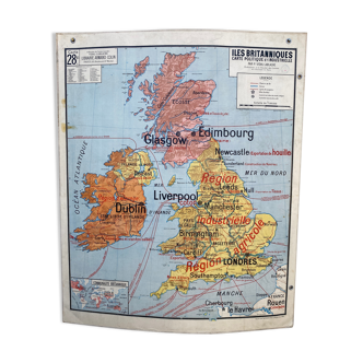
Map British Islands United Kingdom vidal lablache 60s
- H118 x W98 x D1
- paper
- multicolour
4.93 ()
🙈 Oops, this product is already sold or unavailable. Discover our 1500 new products or products similar to this item !
Description
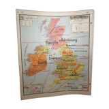
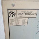
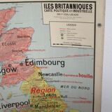
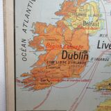
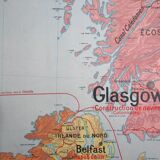
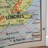
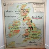
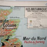
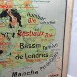
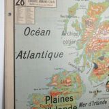
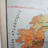
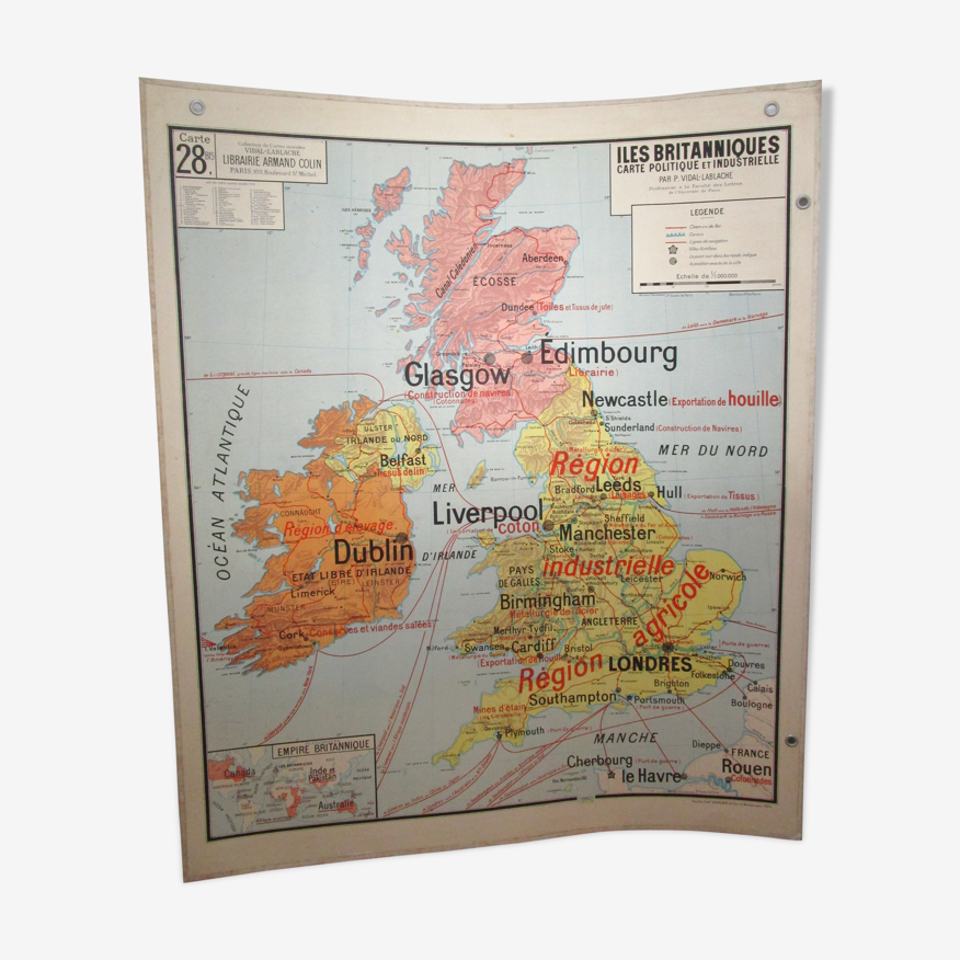
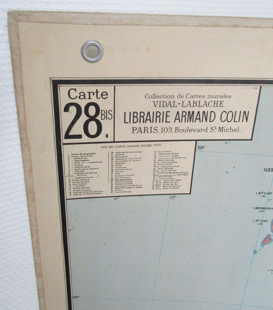
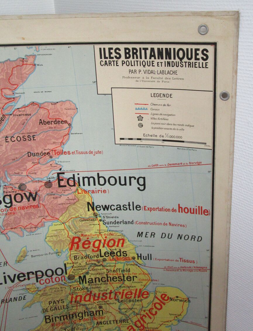
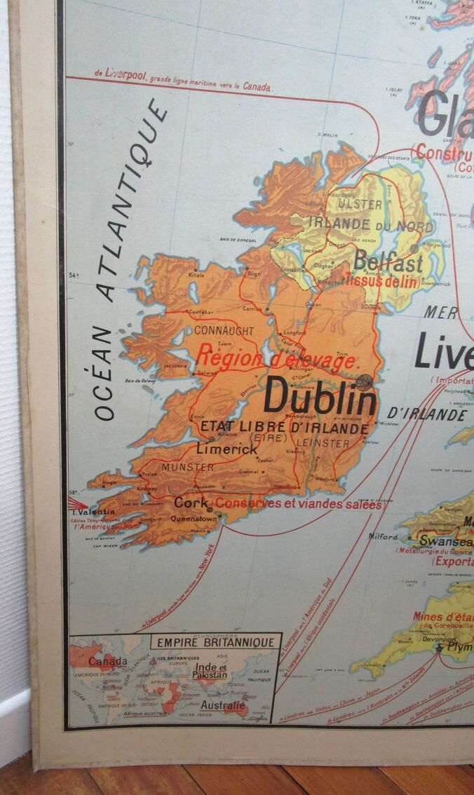
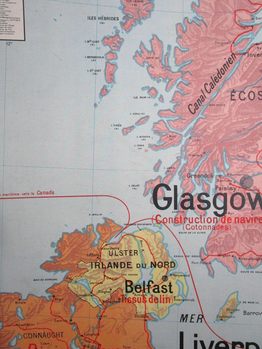
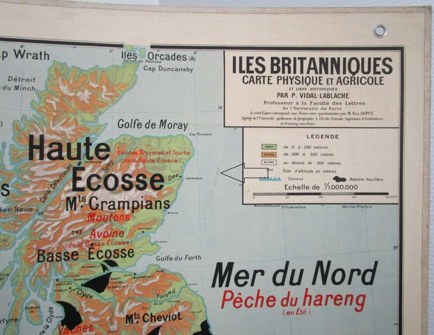
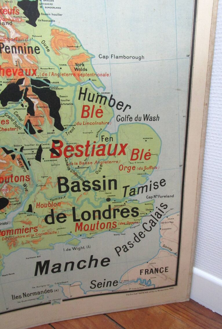
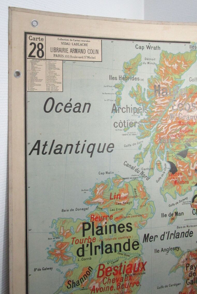
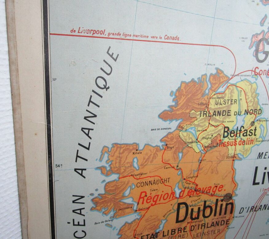
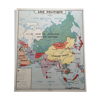
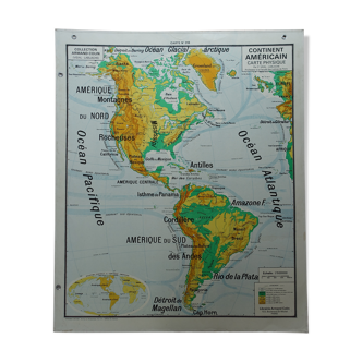
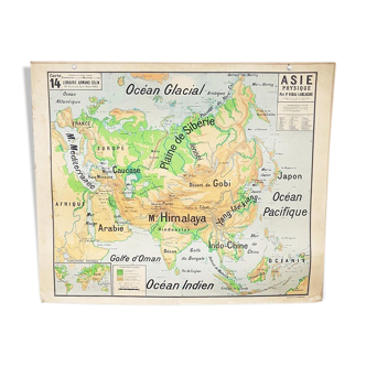
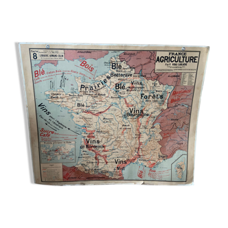
Cardboard school map british two-sided carilets. Collection vidal lablache, 60s, bookstore armand colin. No.28 physical and agricultural map / no.28bis political and industrial map. The whole is in good condition and the colors are fresh. Rare and discreet alterations of use and a tenuous trace face 28 off aberdeen (see photos). Height 118 cm / width 98.5 cm.
Ref. : AZ63GF9F
- Dimensions :
- H118 x W98 x D1
- Color :
- multicolour
- Material :
- paper
- Style :
- vintage
4.93 ()
Return your item within 14 days
Cherry-picked items
Carrefully selected sellers
100% secured payment