


Map / Poster Bird's eye view of the English Channel in 1940
- H70 x W110
- paper
- green
5 ()
Description
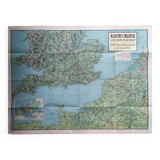
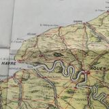
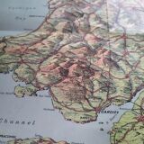
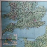
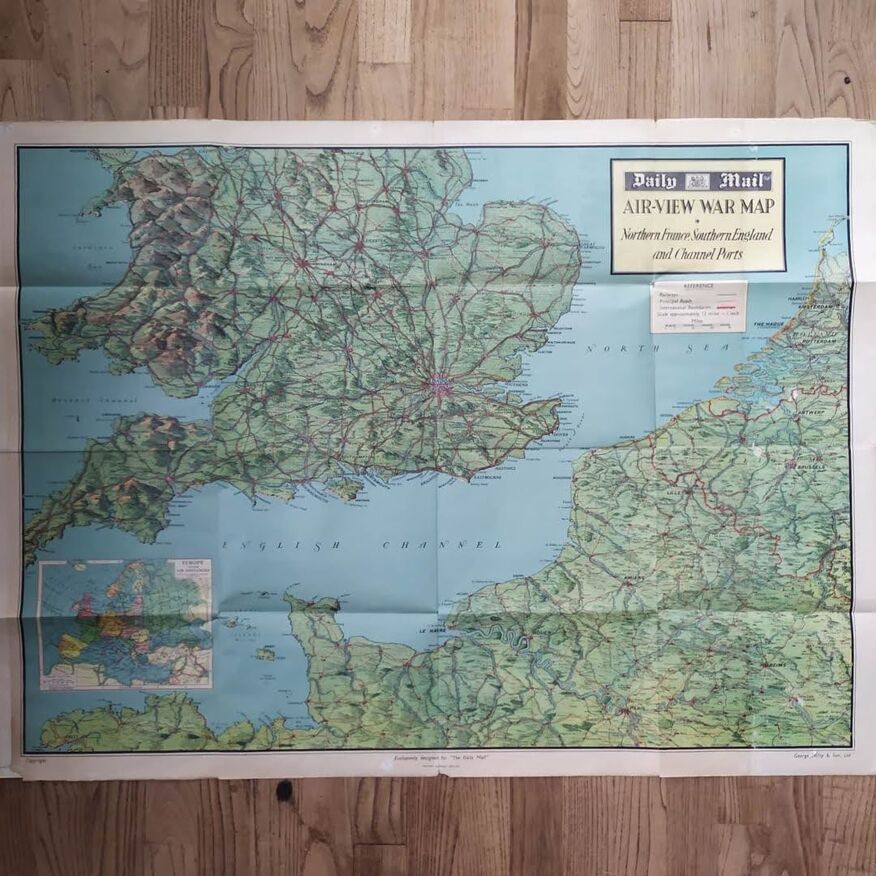
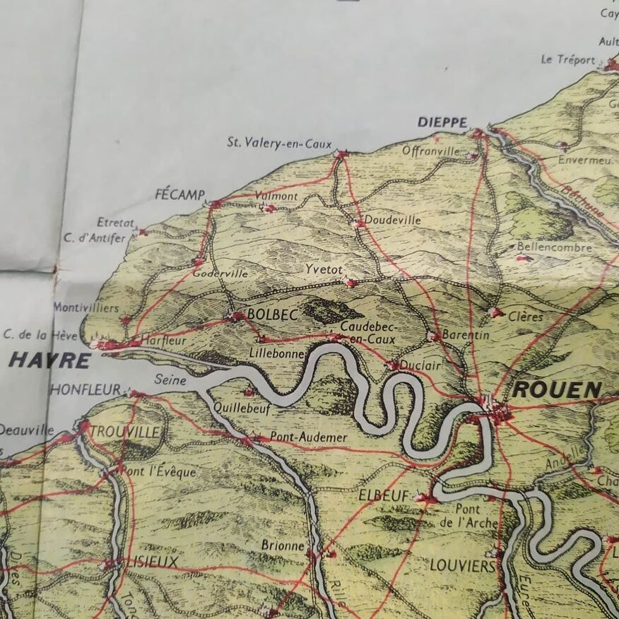
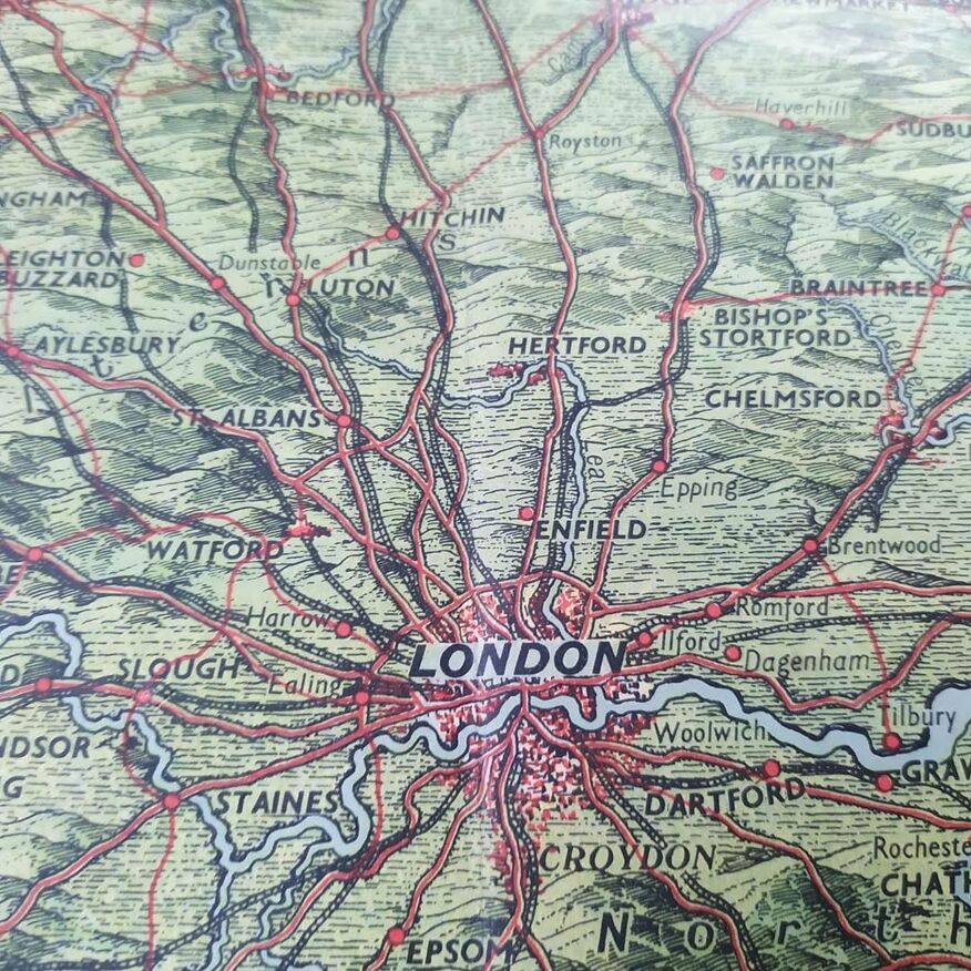
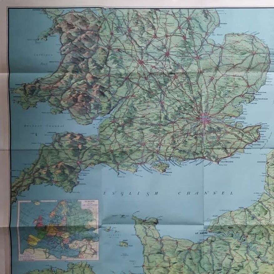
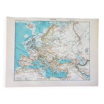
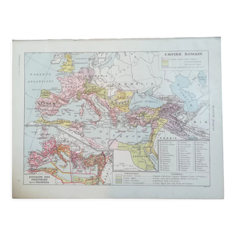
The daily mail was a british newspaper that published maps and information about the events of world war II. The newspaper published several maps during the war, including this one. Original vintage map of the western front in europe at the start of world war ii, published in the daily mail in 1940. It shows the english channel, which separates england and france, as well as the ports and beaches that were used by allied and german forces during the war. It would have been broadcast during the "phony war", the period between the deployment of the british expeditionary force in france in september 1939 and operation dynamo, which allowed the evacuation of more than 300, 000 british and allied soldiers from dunkirk beach in may 1940. It also includes the naval bases and ports of the royal navy, which were used to protect supply convoys and attack german submarines. Dimension: the daily mail was a british newspaper that published maps and information about the events of world war II. The newspaper published several maps during the war, including this one. Dimension: 76*110 cm. Status: a. Date: 1940.
Ref. : Z7U92A39
- Dimensions :
- H70 x W110
- Color :
- green
- Material :
- paper
- Style :
- vintage
Return your item within 14 days
Cherry-picked items
Carrefully selected sellers
100% secured payment