


Page 1 of 9
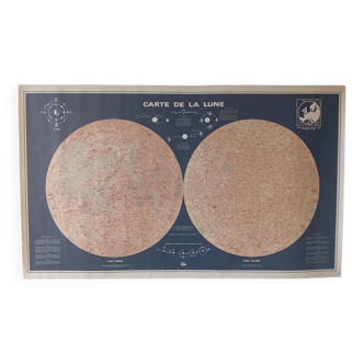
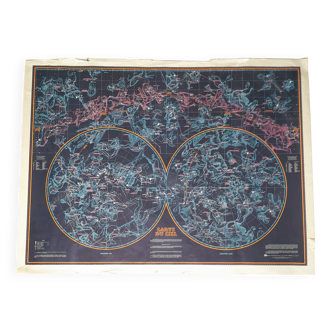
Lithograph map of the sky - 1900
€42
- paper
- multicolour
Pro ambassador
This seller has earned our full trust with their record of flawless sales. Just read their customer reviews! A gem.
4.96 ()
Download the Selency app to receive notifications of price reductions on your favorites.
Description
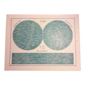
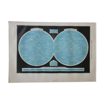
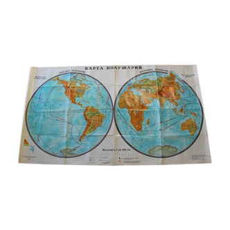
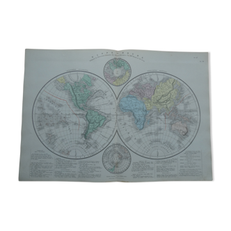
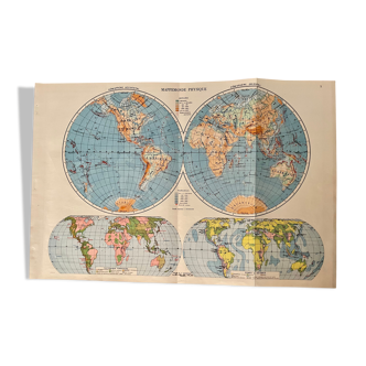
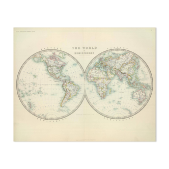
Illustrated plate on the sky (original), taken from an old encyclopedia. Signed albert levy (designer and cartographer) and vignerot, demoulin sc. 💎 all lithographs and cards in this account are originals and not copies illustrated on the front and back date: publication of the work around 1900 dimensions: 23.5 X 31 cm to be framed
Ref. : W1W421VG
- Color :
- multicolour
- Material :
- paper
- Style :
- vintage
🇫🇷
Mathilde S.
Pro ambassador
This seller has earned our full trust with their record of flawless sales. Just read their customer reviews! A gem.
526 sales
4.96 ()
Our suggestion of similar items
Discover more similar items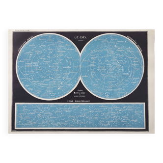

Page 1 of 10
Return your item within 14 days
Cherry-picked items
Carrefully selected sellers
100% secured payment