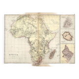
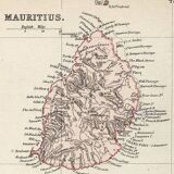
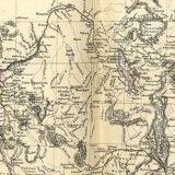
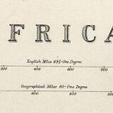
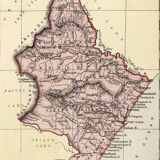

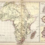
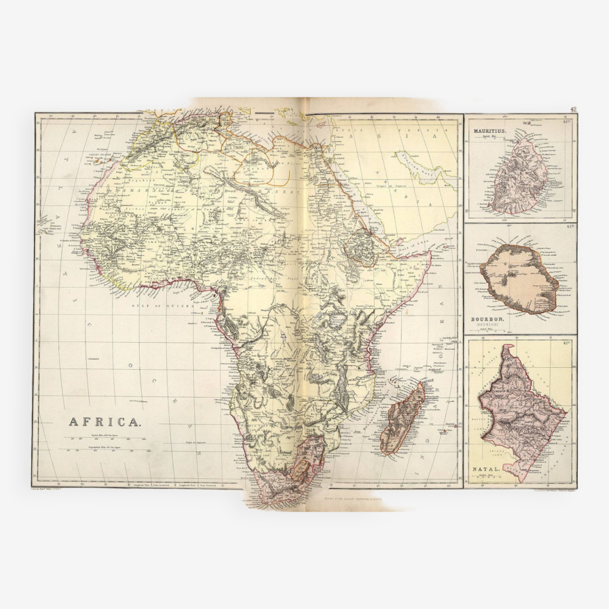
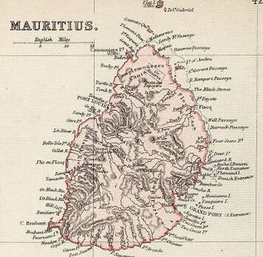
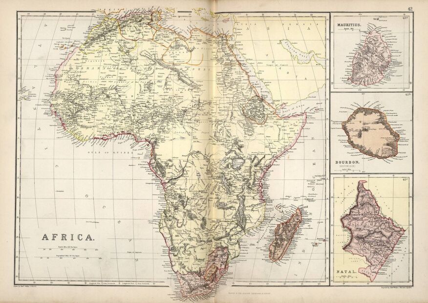
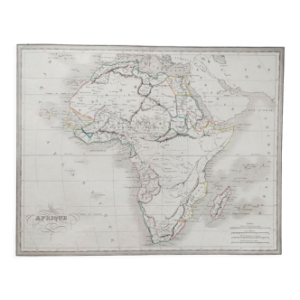
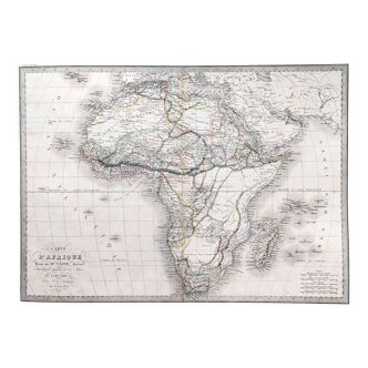
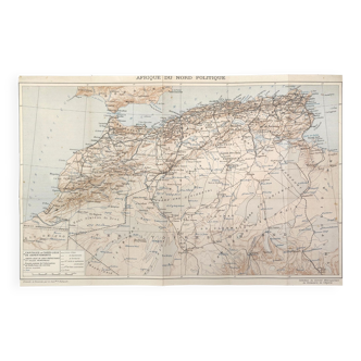
Antique map of Africa, Mauritius. Bourbon (Reunion) circa 1882, Blackie and Sons, Londn=on
- H38 x W52 x D1
- paper
- multicolour
Description
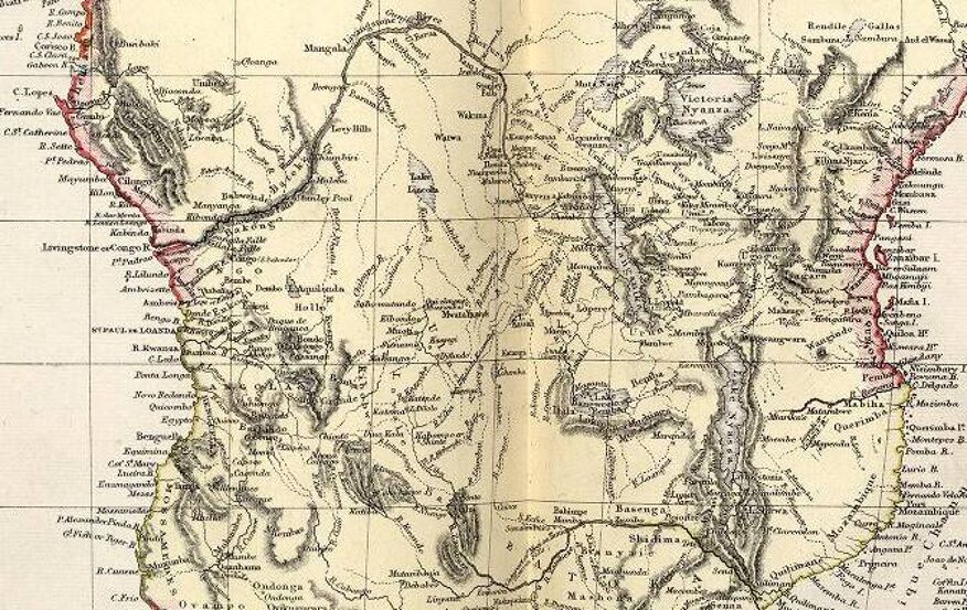
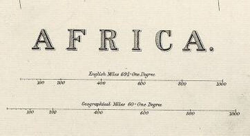
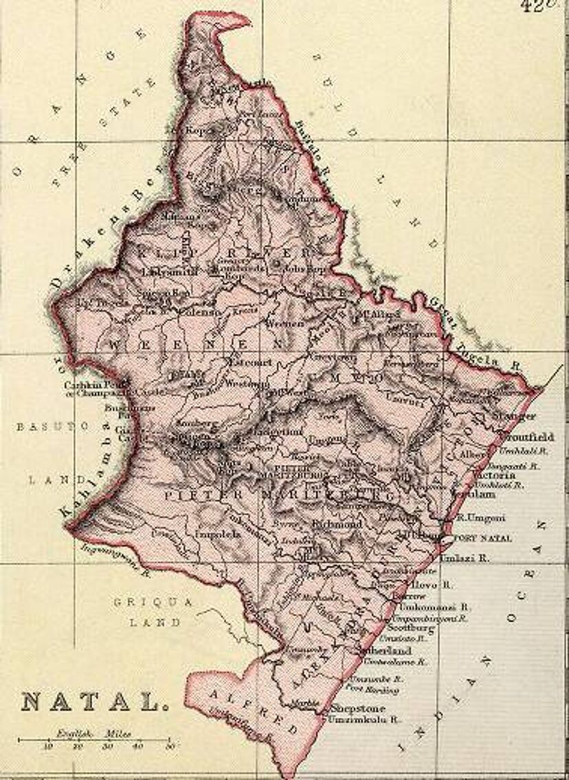
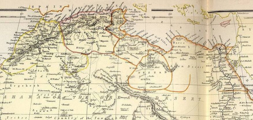
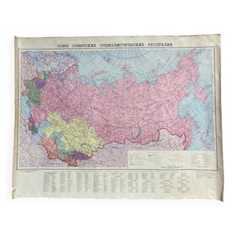
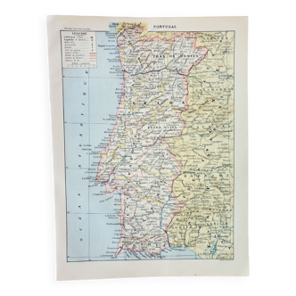
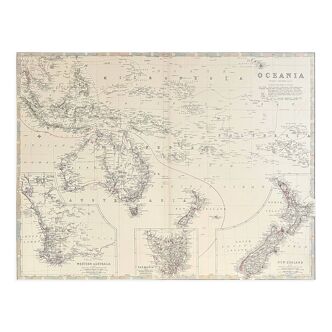
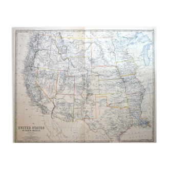
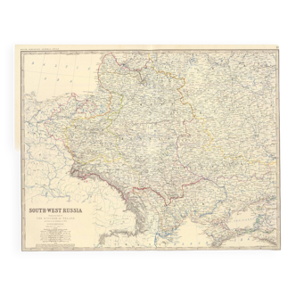
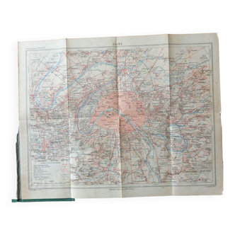
An antique engraved map of africa by black and sons of london, england. Circa 1882 from the comprehensive atlas and geography of the world. The map include's the names of regions, rivers, lakes, mountains, and important cities. These earlier edition maps have hand coloured outline colour. Additional later wash colour to the individual provinces makes this a unique edition of the map. This atlas was one of the best world atlases published in england in the second half of the 19th century. Excellent condition, blank to verso, fold as issued. Approx sheet size: 52cm X 38 cm. Large folio engraved map on heavy wove paper. Some old offset stain where sheets have been closed in atlas. This antique map will be packed in protective packaging and shipped flat to ensure protection during transport.
Ref. : S28PD63H
- Dimensions :
- H38 x W52 x D1
- Color :
- multicolour
- Material :
- paper
- Style :
- classic
Return your item within 14 days
Cherry-picked items
Carrefully selected sellers
100% secured payment