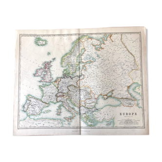
Old map of Europe - 1842
- H52 x W68
- paper
- white
Description
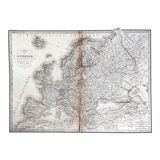
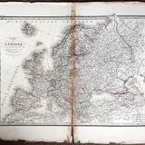
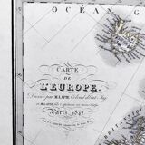
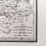
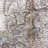
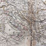
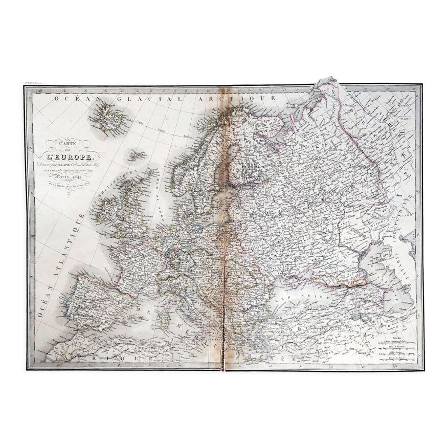
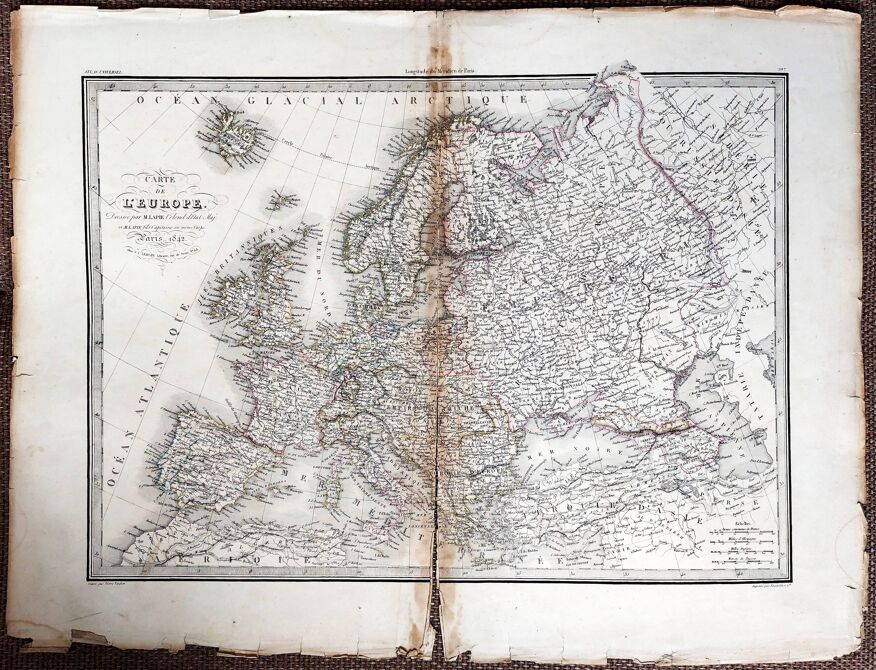
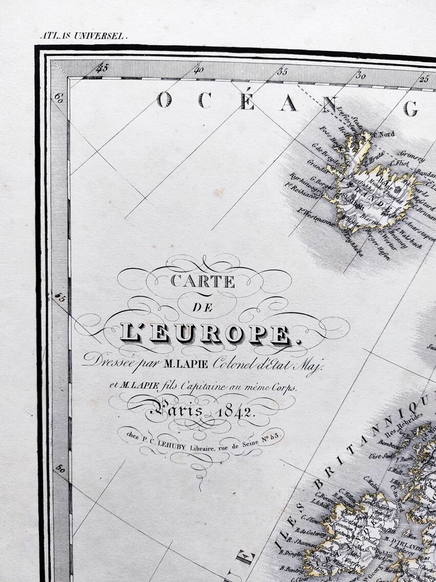
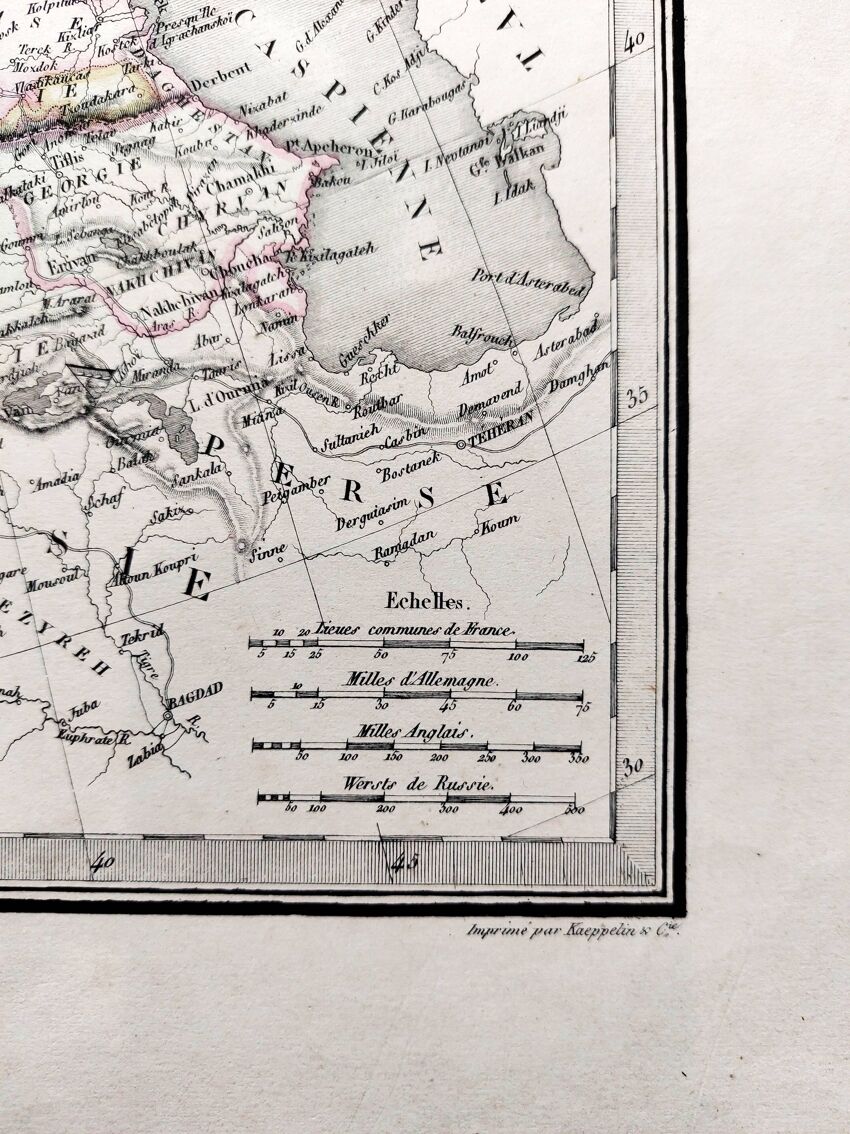
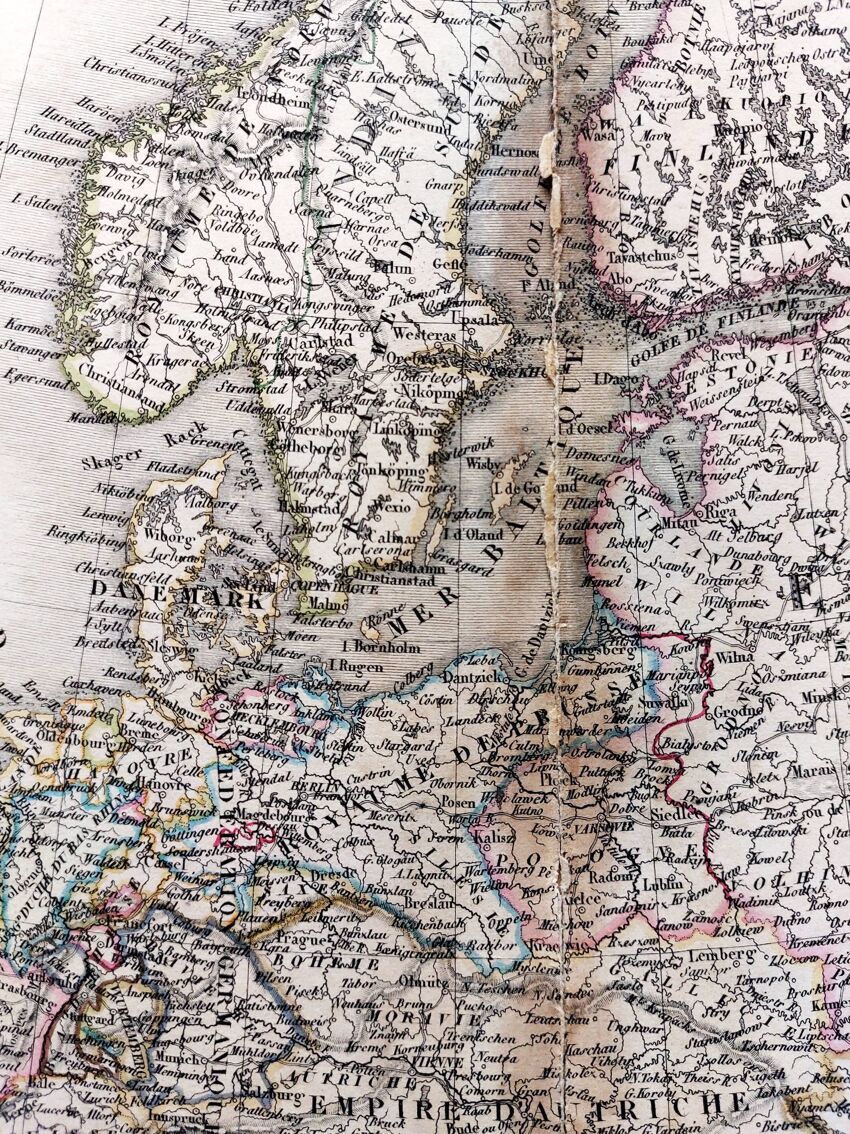
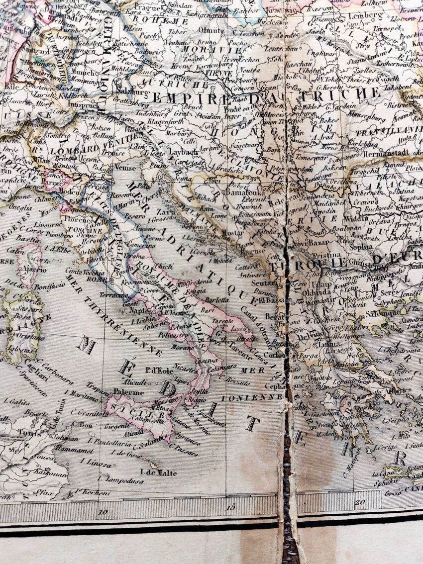
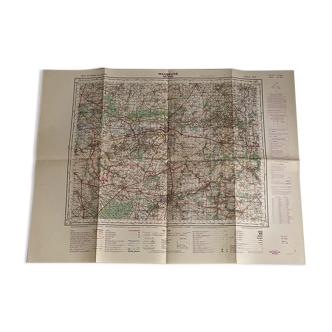
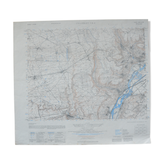
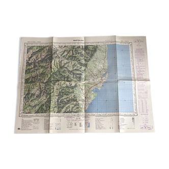
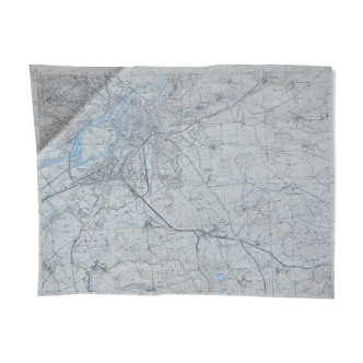
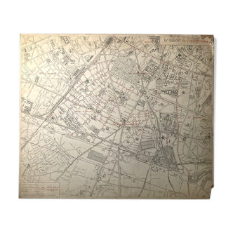
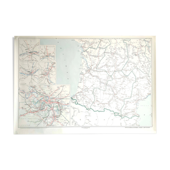
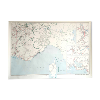
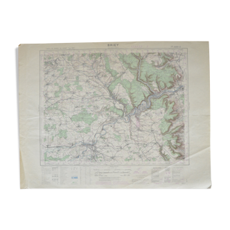
Old map 1842, engraving, hand colored. Map of europe drawn up by mr lapie colonel of the general staff. Comes from the "universal atlas of ancient and modern geography (...)" of pierre lapie and his son alexandre emile lapie in 1842. Engraved by pierre tardieu. Printed by kaeppelin et cie. Chez p.c. Lehuby libraire rue de seine n°53. Paper dimensions: 68x52 cm. Dimensions engraving: 55.5x41 cm. Map normally tarnished by time - original fold in the center torn but repaired from the back - damaged on the perimeter, especially the bottom - some moisture stains. Look at the photos to realize the defects. Pierre lapie: officer in the french army, he joined the corps of geographical engineers in 1799 and made several campaigns of the consulate and the first empire. Captain in 1800, he was in charge of major surveying works. Appointed director of the topographical cabinet of king louis XVIII in 1814, he was promoted to chef d'escadron in 1819. Director of the survey and realization of the map of france, he was made lieutenant-colonel in 1829. Appointed chief of the topographical section of the war depot in 1830, he was promoted to the rank of staff colonel in 1832 and retired in september 18383. Colonel lapie is a knight of saint-louis and an officer of the legion of honour. Author of globes, atlases and maps, he contributed to many books. He is the father of alexandre emile lapie, also a cartographer, with whom he collaborated.
Ref. : RTVK1AXZ
- Dimensions :
- H52 x W68
- Color :
- white
- Material :
- paper
- Style :
- classic

Return your item within 14 days
Cherry-picked items
Carrefully selected sellers
100% secured payment