


Page 1 of 10
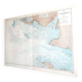
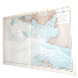
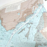
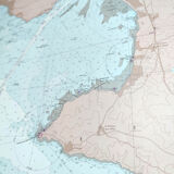
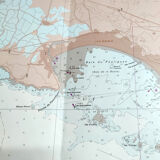
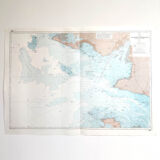
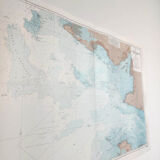
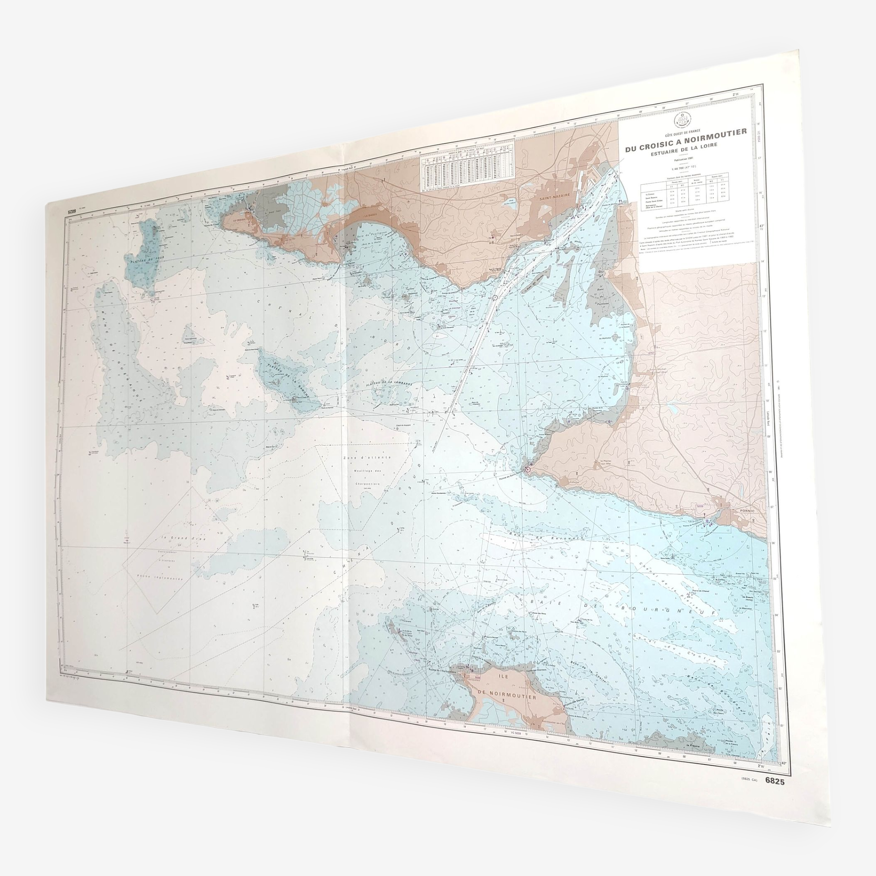
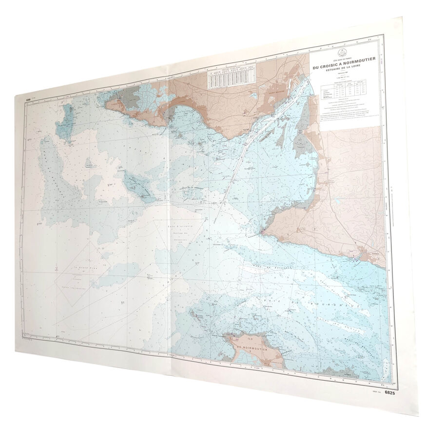
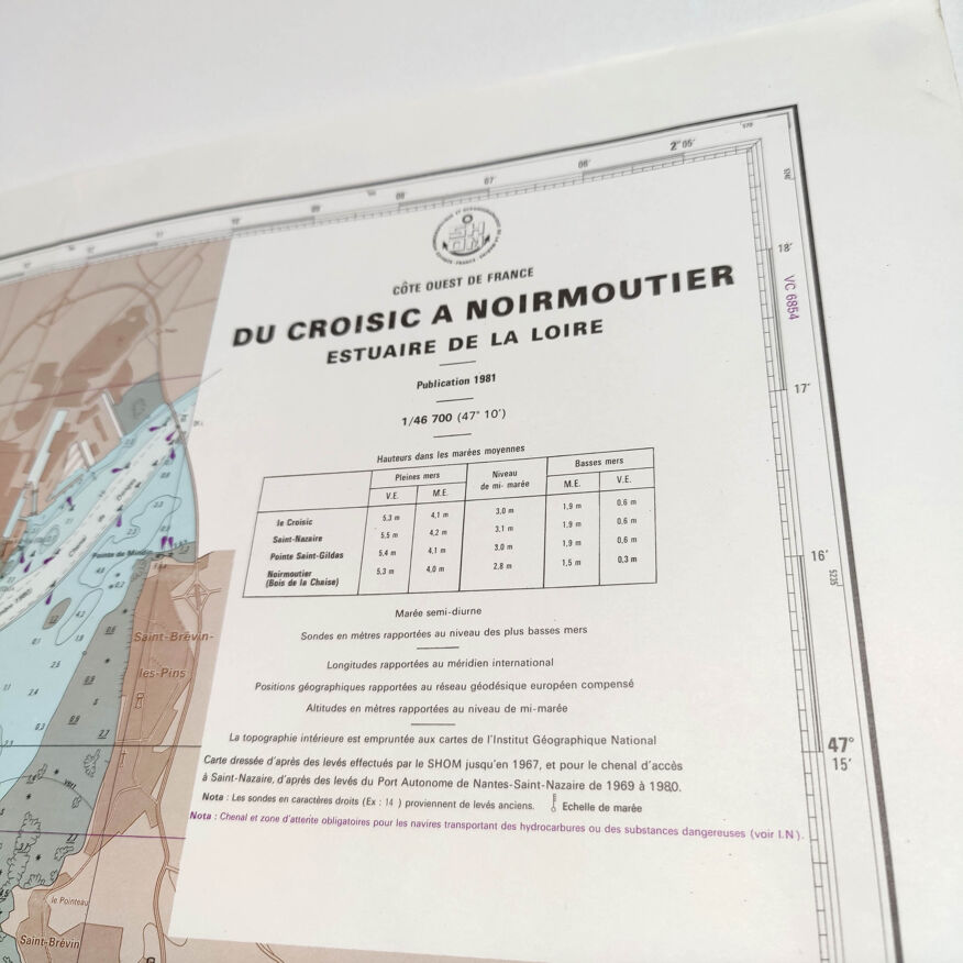
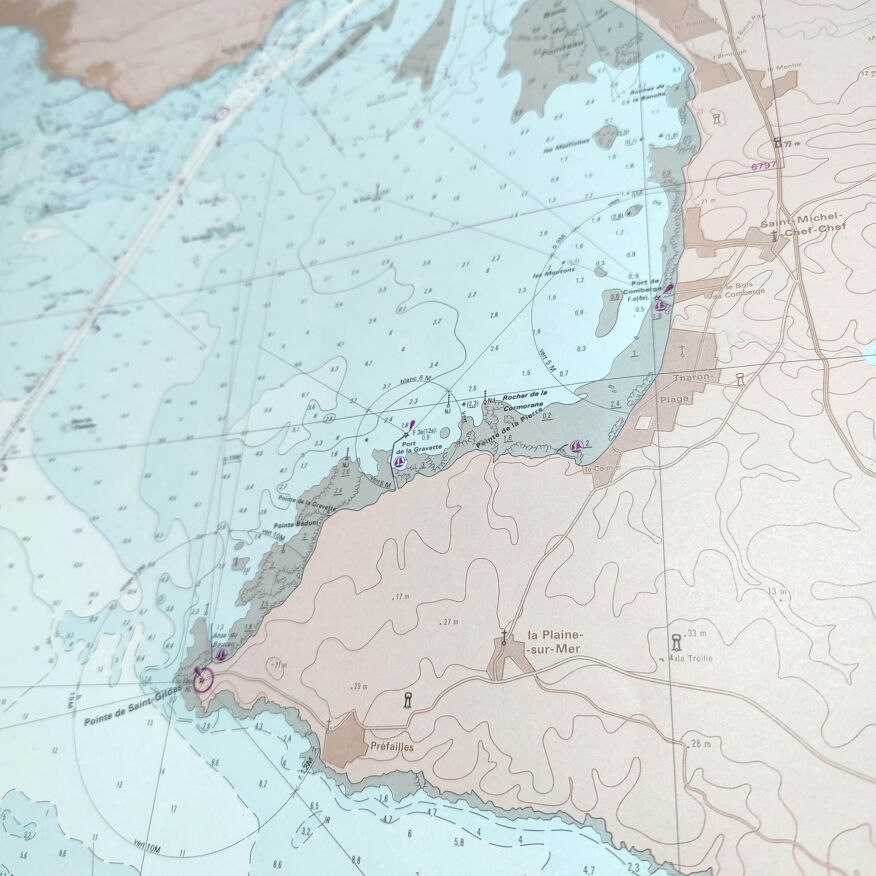
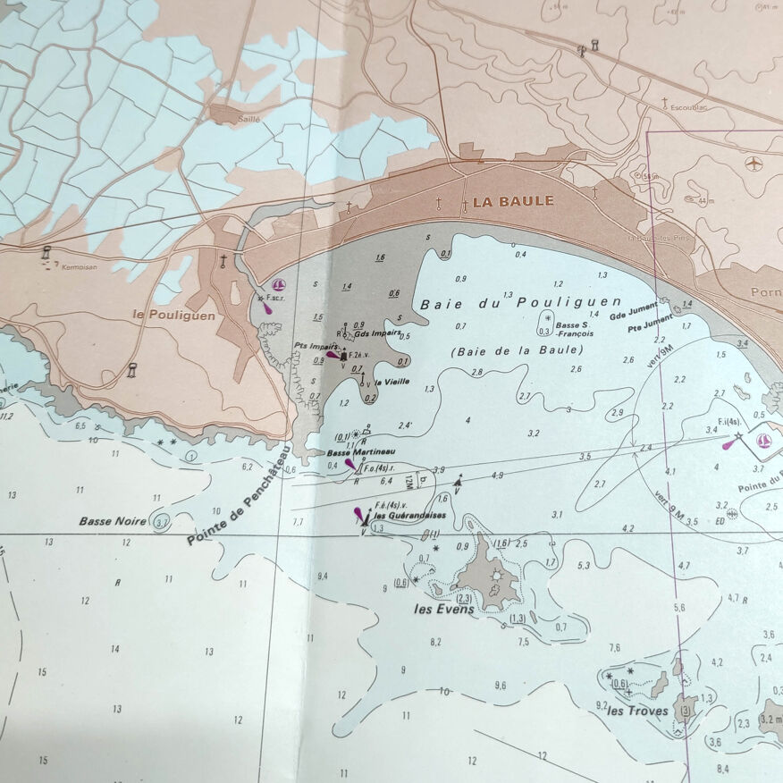
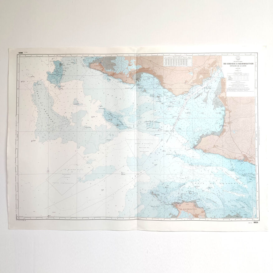
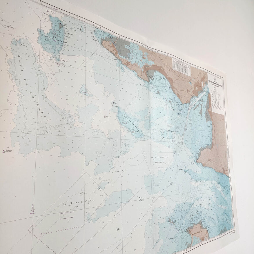
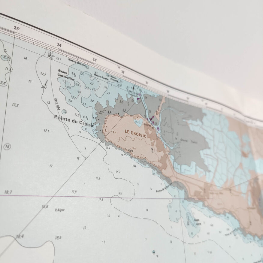
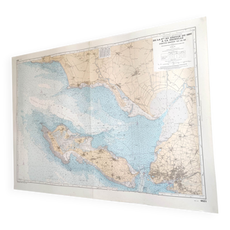
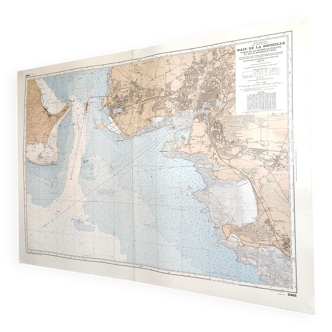
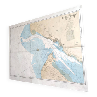
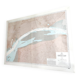
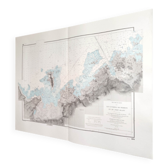
Estuary map of the Loire Croisic île Noirmoutier 1981
€65
- H85 x W120 x D1
- paper
- multicolour
Pro ambassador
This seller has earned our full trust with their record of flawless sales. Just read their customer reviews! A gem.
4.95 ()
Description
Large vintage map of the loire estuary from croisic to noirmoutier island (west atlantic coast of france). Dated 1981. Dimensions: length 120cm and height 85cm. Cardstock cardboard card, a fold in the center.
Ref. : QH4T3KJA
- Dimensions :
- H85 x W120 x D1
- Color :
- multicolour
- Material :
- paper
- Style :
- vintage
Alan P.
Pro ambassador
This seller has earned our full trust with their record of flawless sales. Just read their customer reviews! A gem.
1054 sales
4.95 ()
Return your item within 14 days
Cherry-picked items
Carrefully selected sellers
100% secured payment