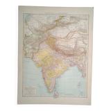
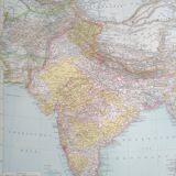
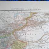
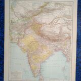
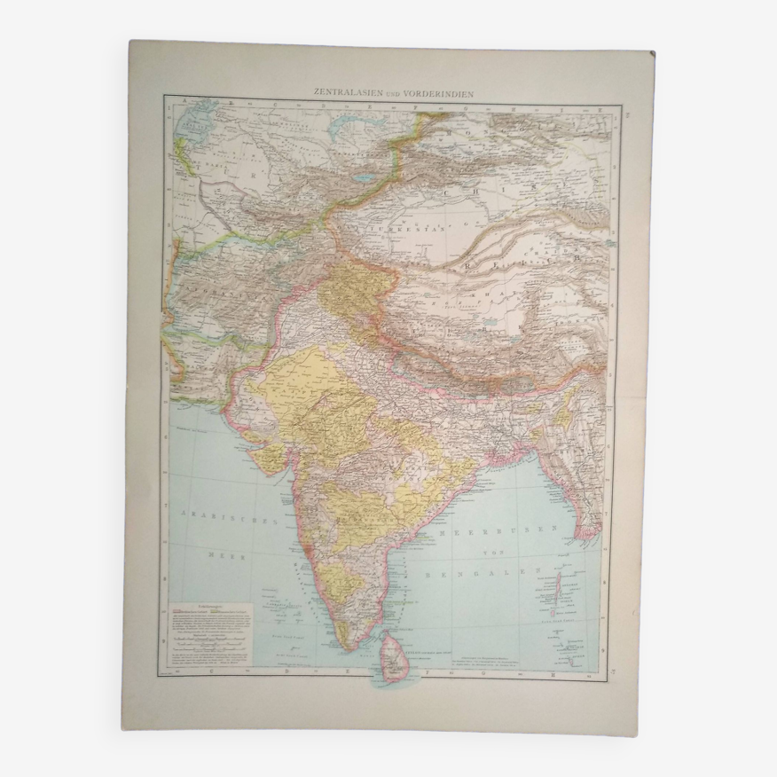
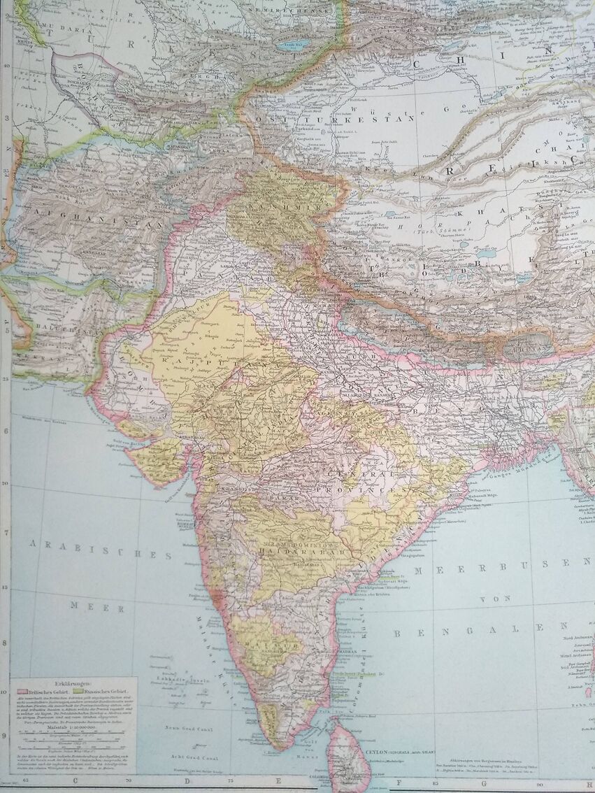
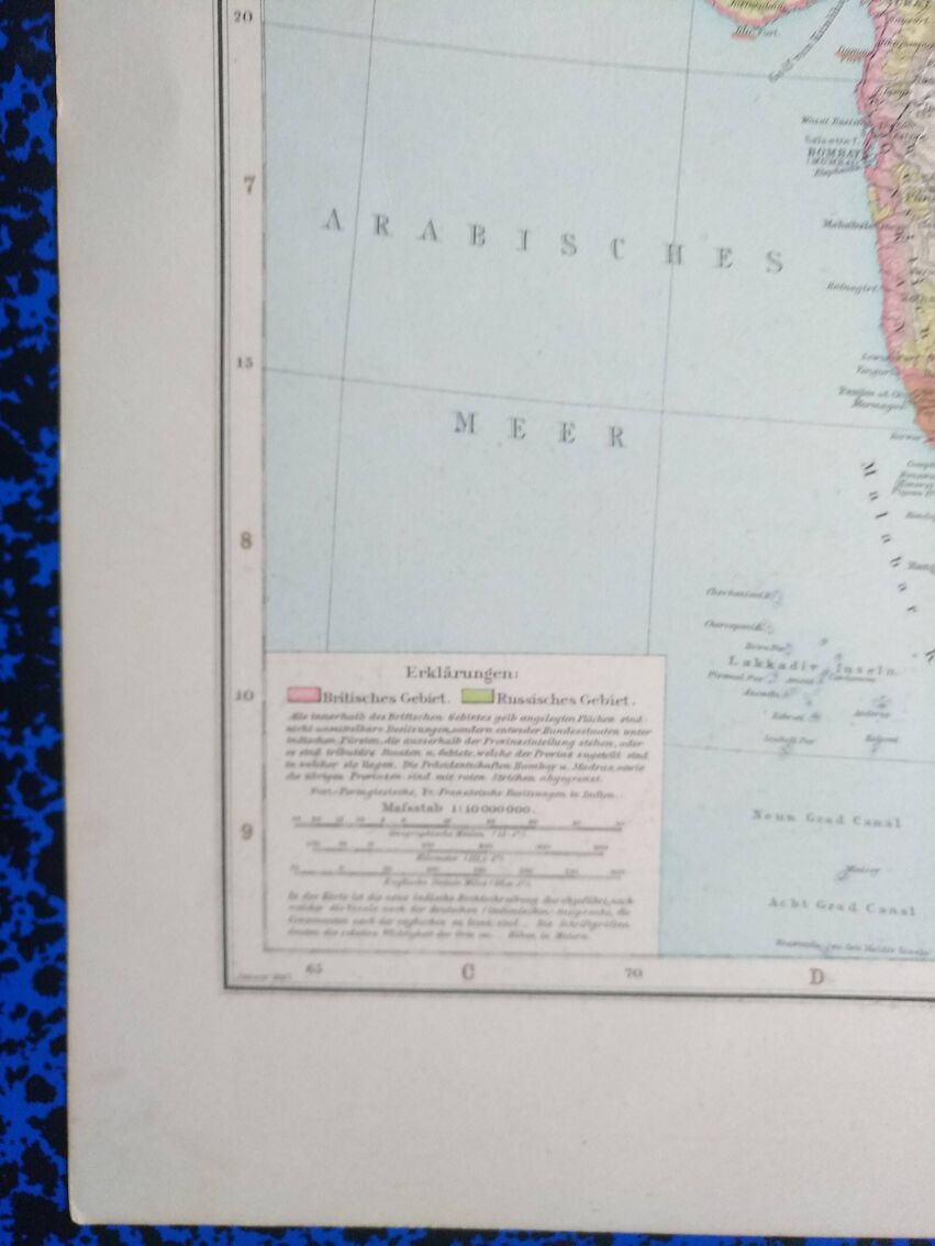
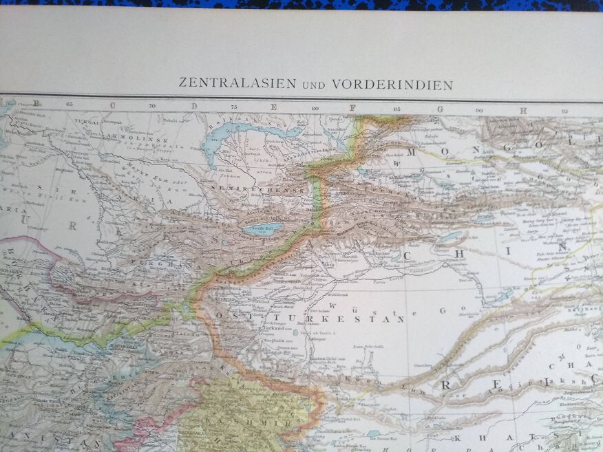
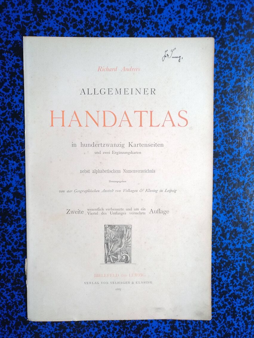
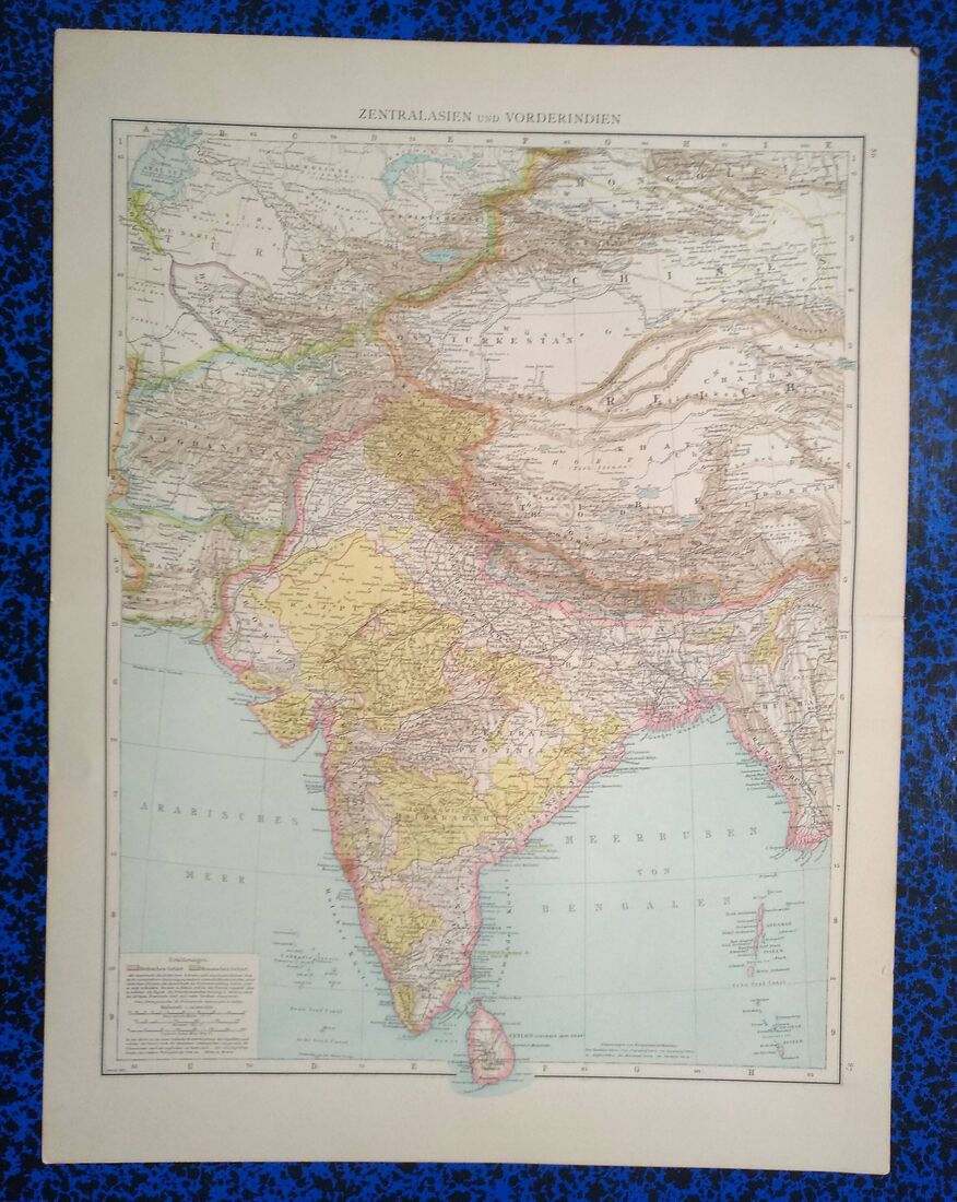
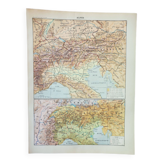
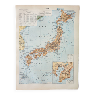
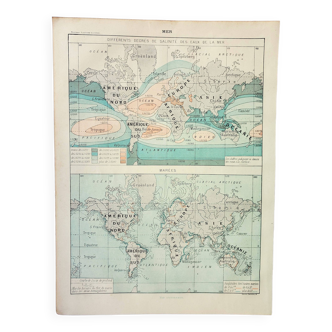
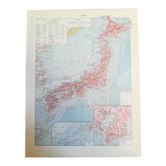
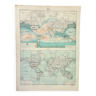
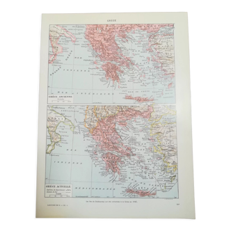
An 1887 Zentralasian Central Asia map from the Richard Andrees Atlas
- H56 x W42
- paper
- multicolour
5 ()
🙈 Oops, this product is already sold or unavailable. Discover our 1500 new products or products similar to this item !
Description
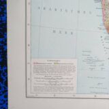
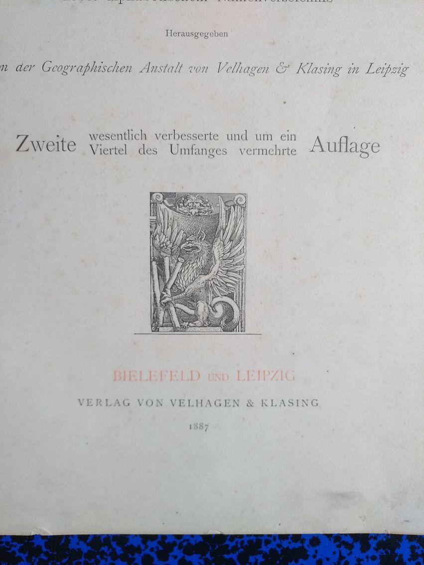
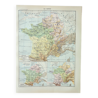
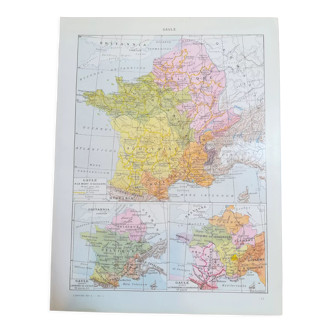
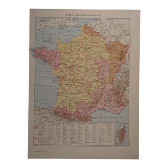
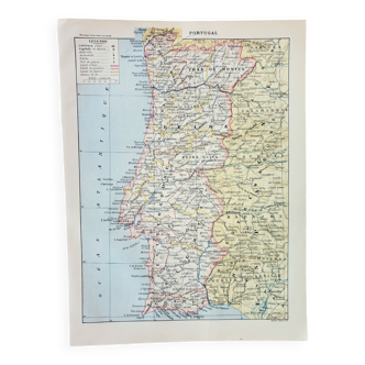
This map comes from a richard andrees atlas from 1887 and is folded. On the back on each half a map of korea and the other china and japan. There is the photo of the cover page to justify its origin, it is not sold with it. This card is shipped in a large reinforced envelope. The format given is that of the unfolded card. The card support is relatively thick, therefore good support for possible framing. Several maps available.
Ref. : PKQ9UBV2
- Dimensions :
- H56 x W42
- Color :
- multicolour
- Material :
- paper
- Style :
- vintage

Return your item within 14 days
Cherry-picked items
Carrefully selected sellers
100% secured payment