


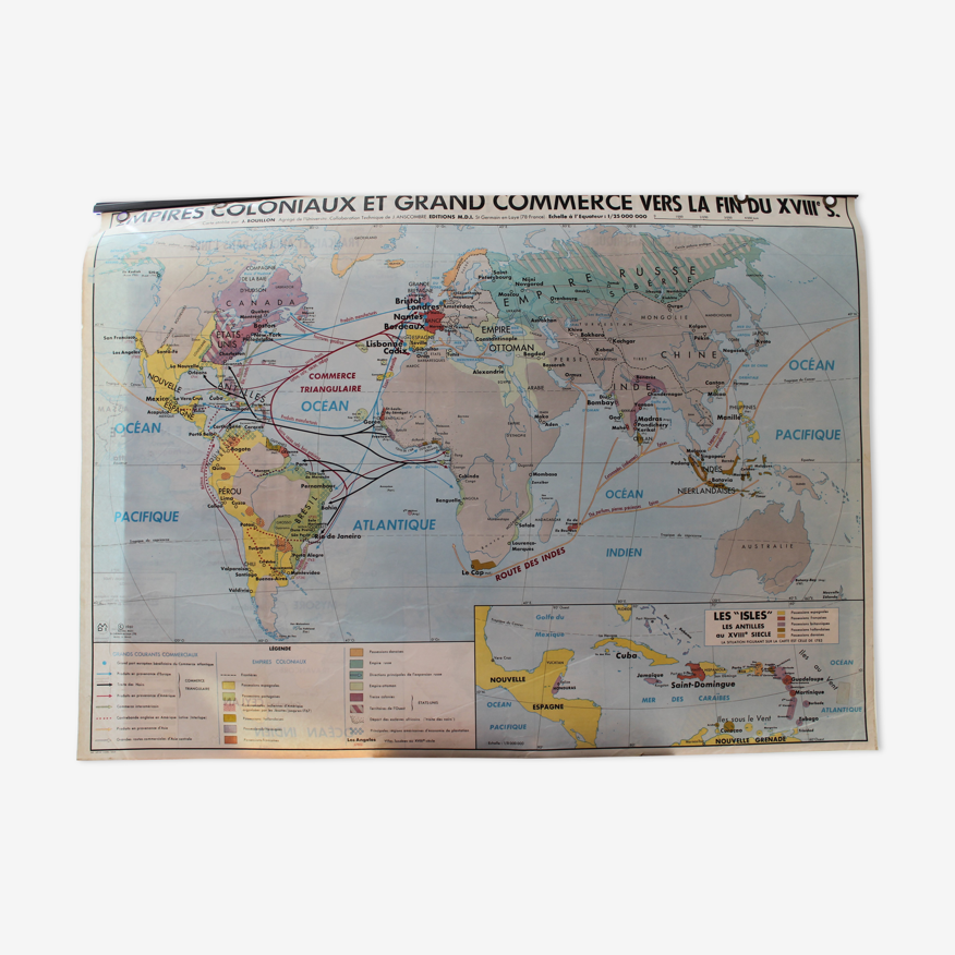
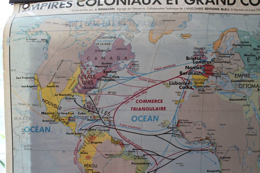
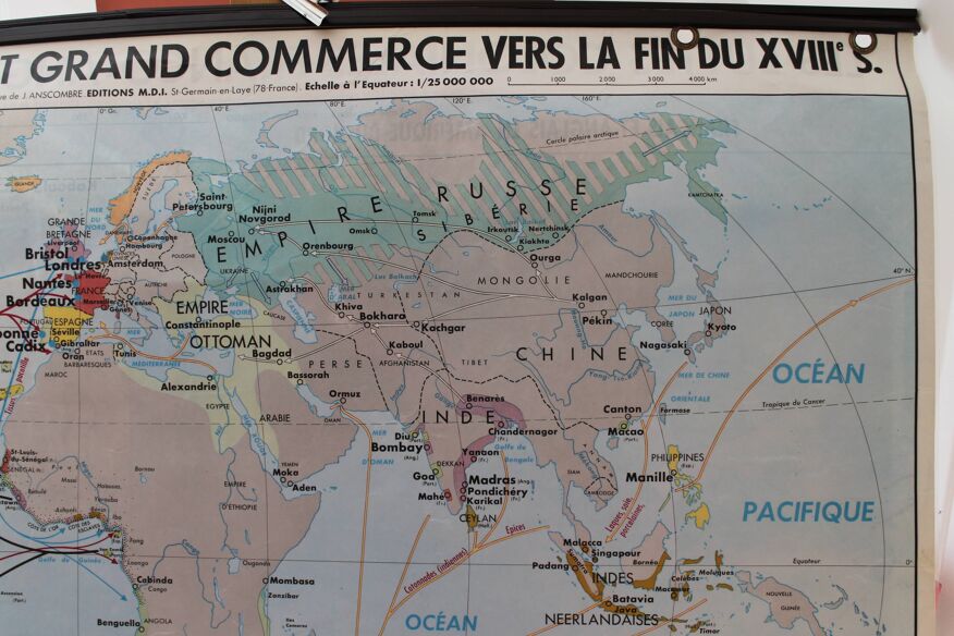
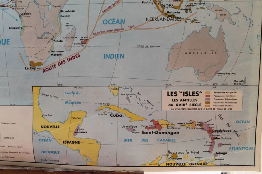
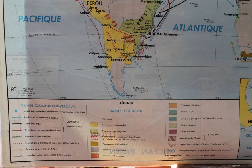
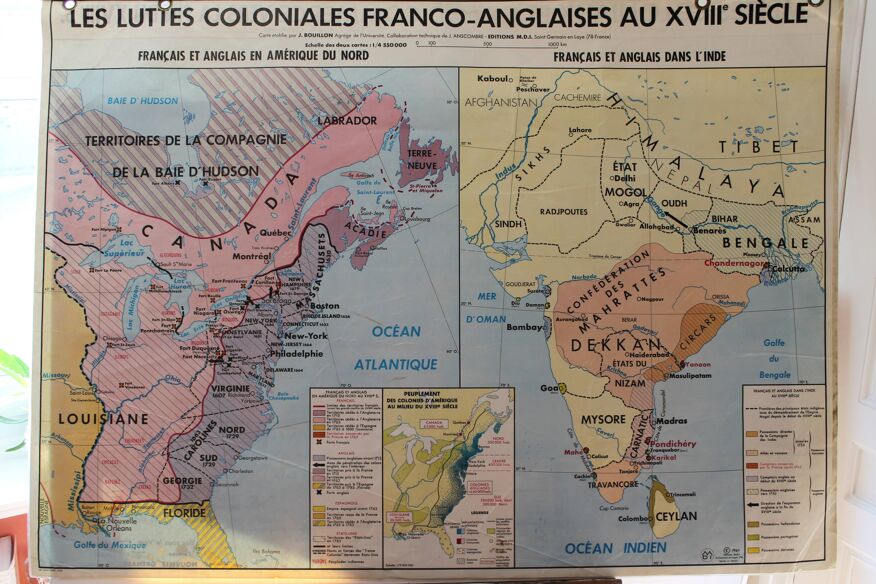
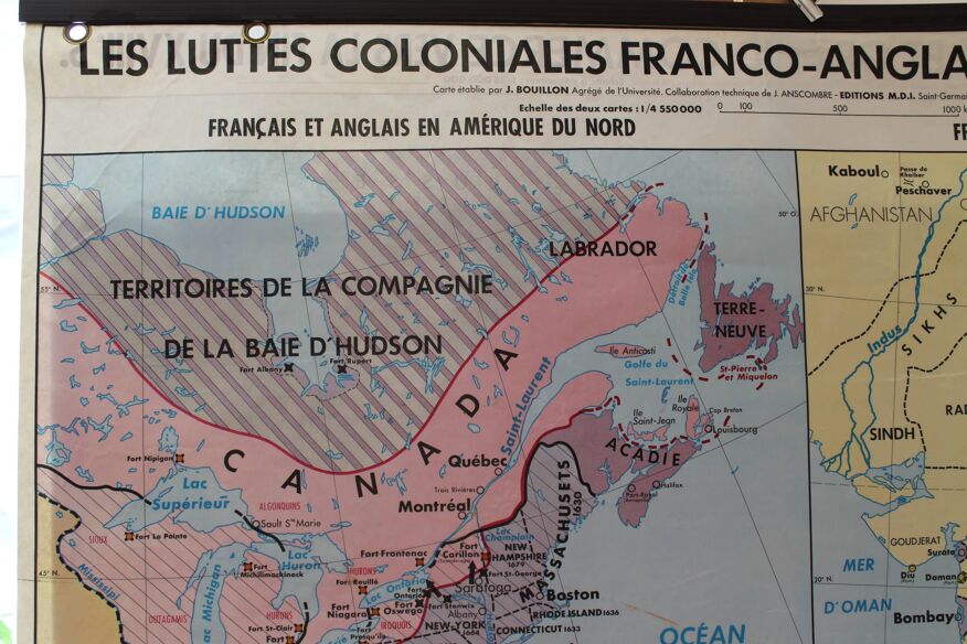
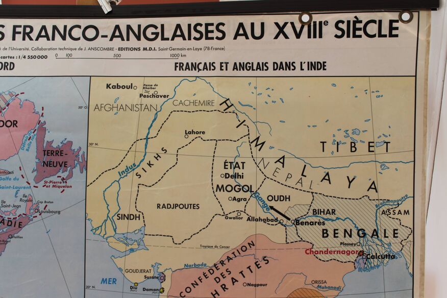

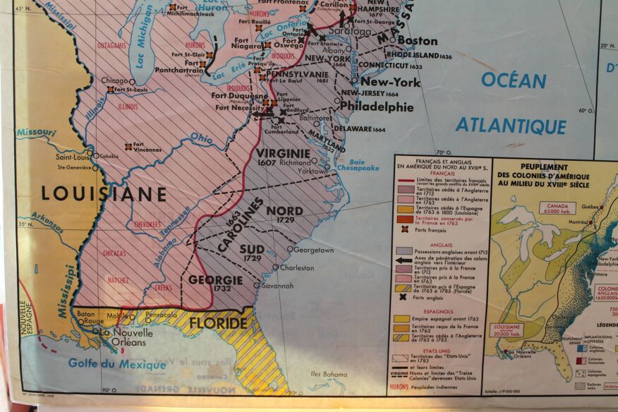
Old school card laminated "Colonial Empires and Great Trade towards the end of the 18th century."
- H100 x W130 x D1
- plastic
- multicolour
Description
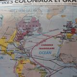
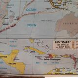
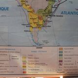
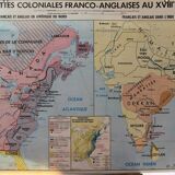
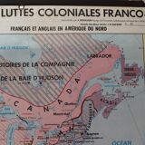
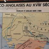
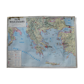
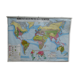
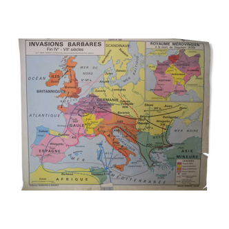
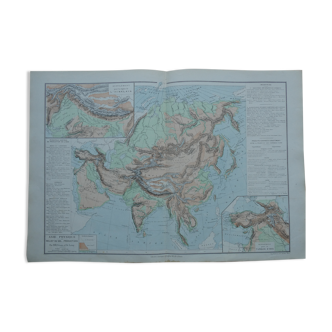
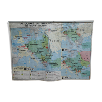
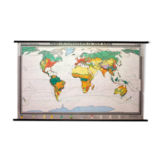
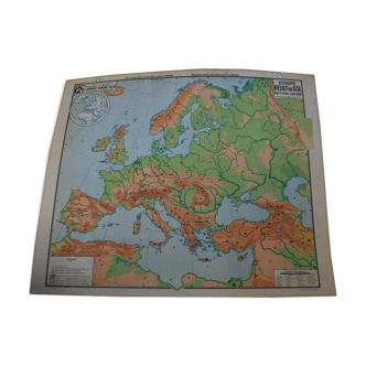
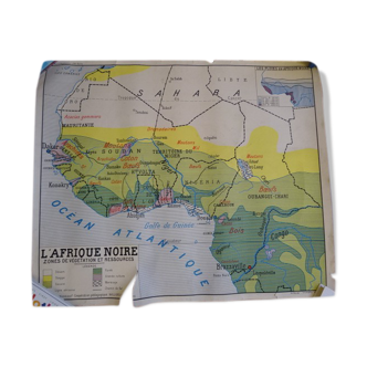
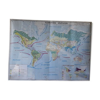
Old school map laminated "colonial empires and great trade towards the end of the 18th century" - framed "the isles - the west indies in the 18th century" front. "the franco-english colonial struggles in the 18th century" in two parts "french and english in north america" and "french and english in india" - framed "people of the american colonies in the mid-18th century" back. Map of j. Bouillon - mdi editions - 1969. Dimensions: 130x100 cm. General condition: good, hook system ok. Nice patina for this card used in class. Some slight moisture stains (see details photos). Careful mailing, rolled card. Mondial relay or colissimo.
Ref. : KBKCCR5S
- Dimensions :
- H100 x W130 x D1
- Color :
- multicolour
- Material :
- plastic
- Style :
- vintage
Return your item within 14 days
Cherry-picked items
Carrefully selected sellers
100% secured payment