Page 1 of 26
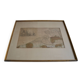
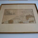
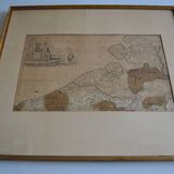
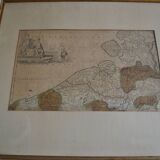
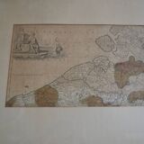
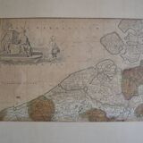
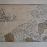
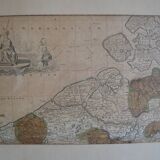
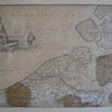
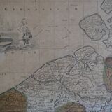
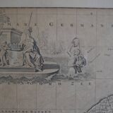
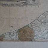
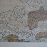
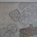
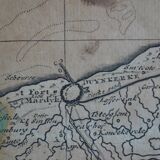
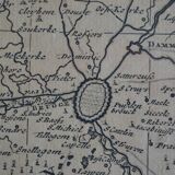
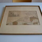
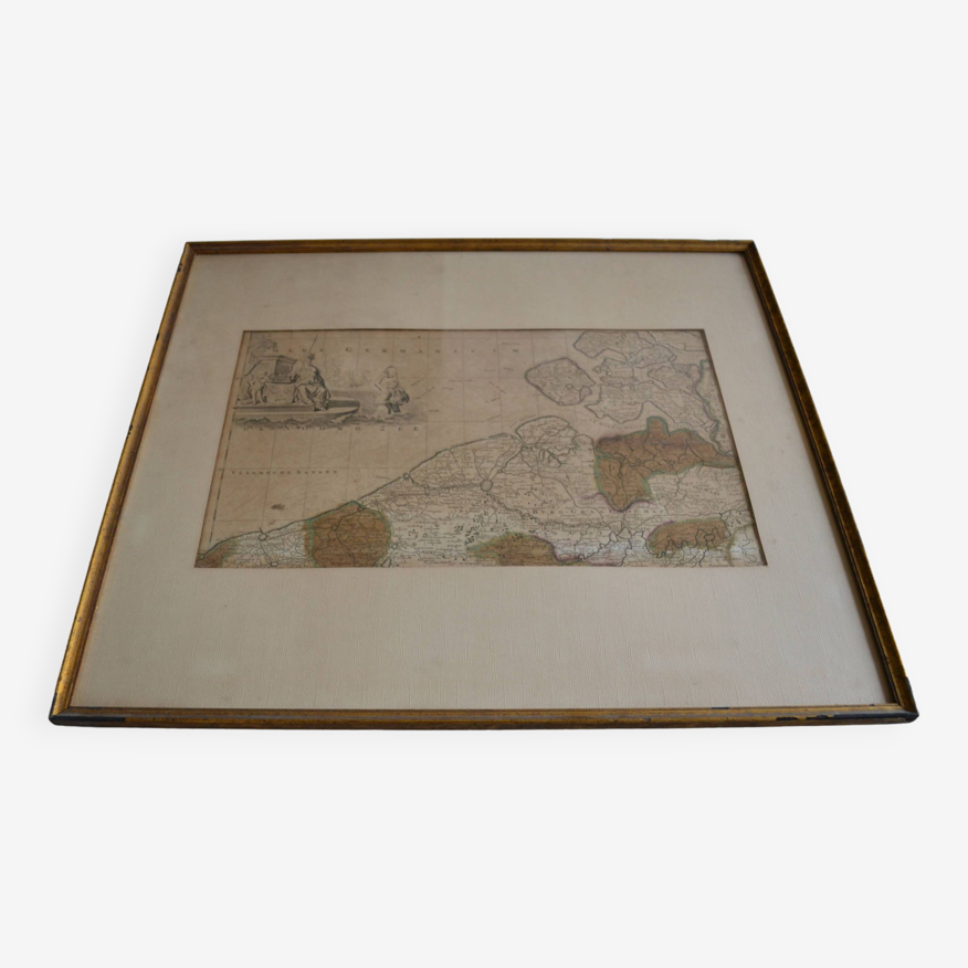
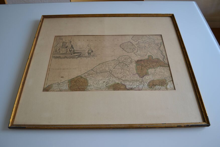
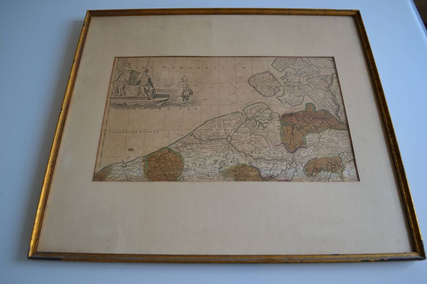
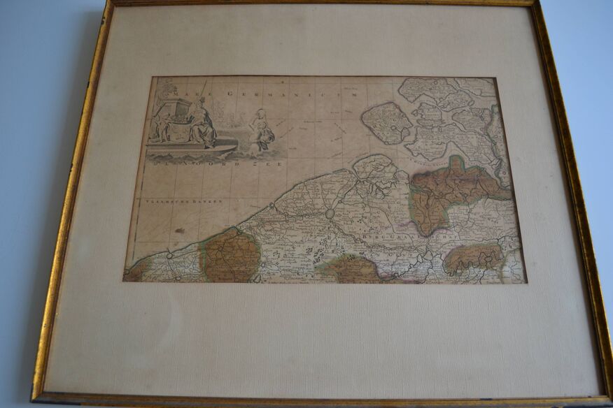
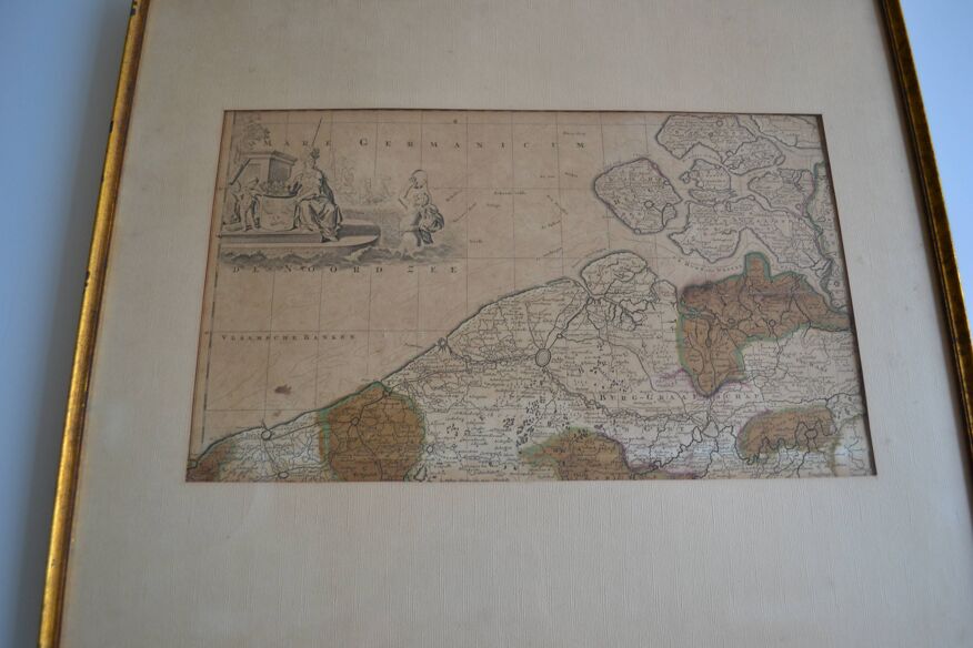
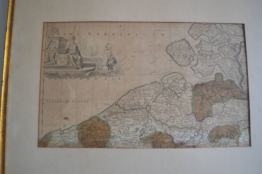
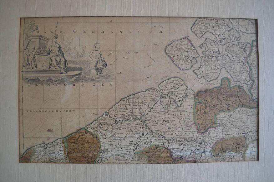
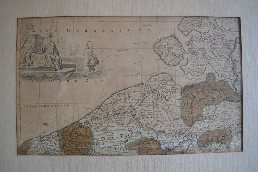
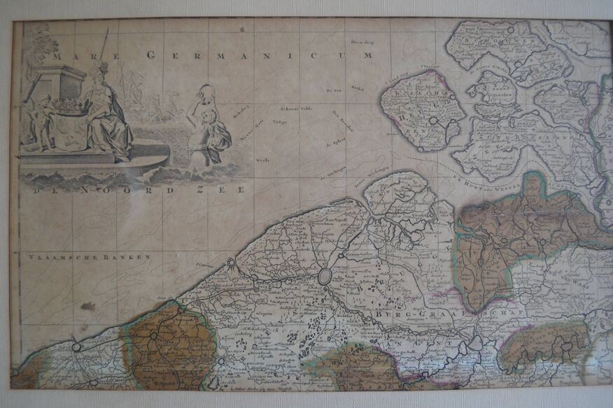
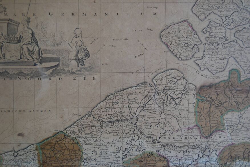
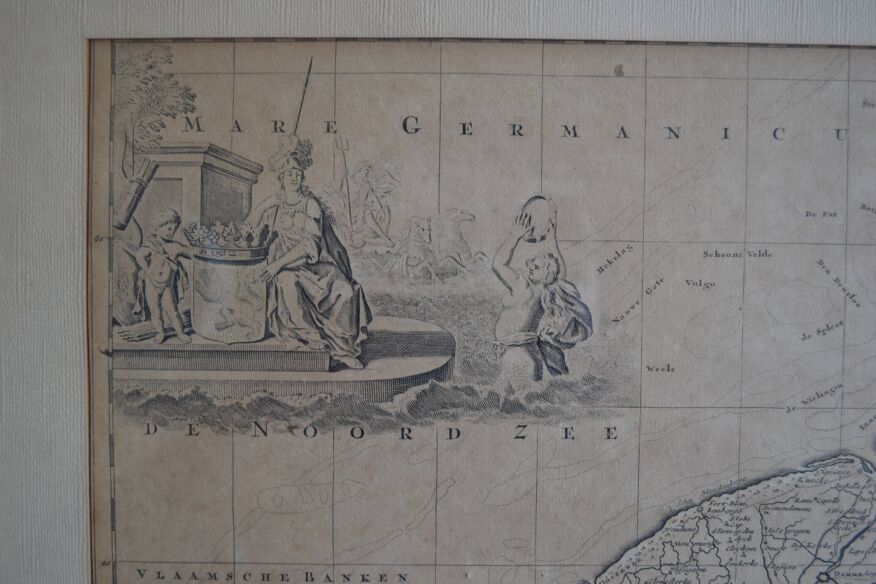
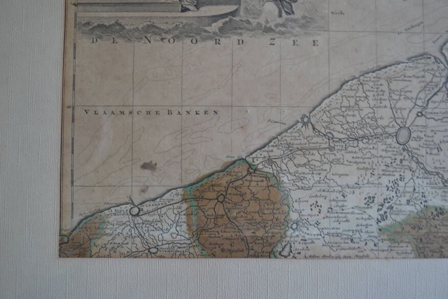
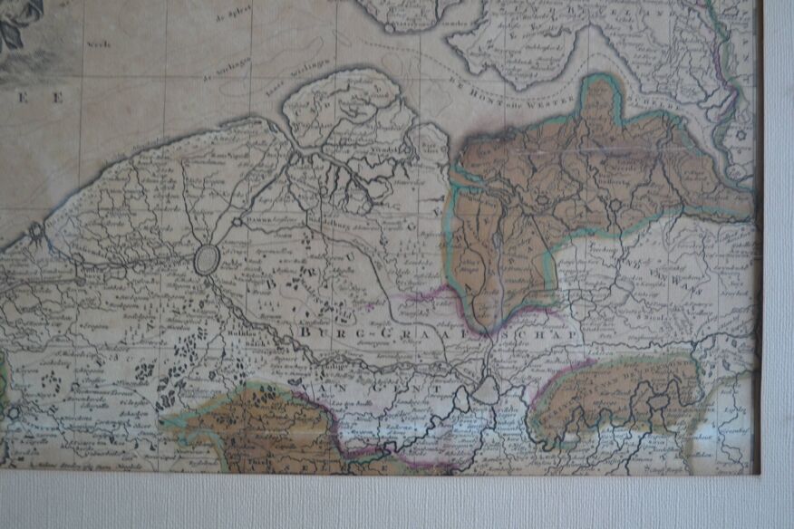
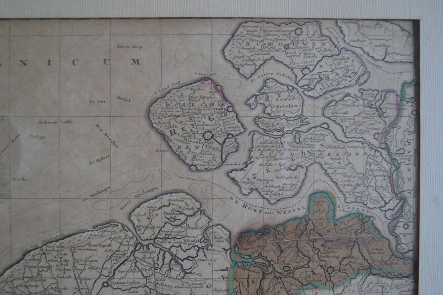
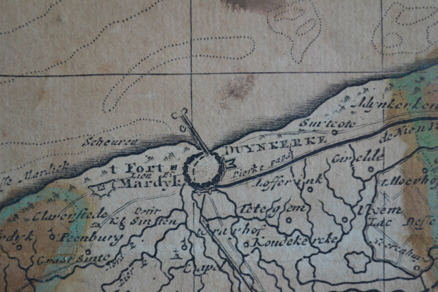
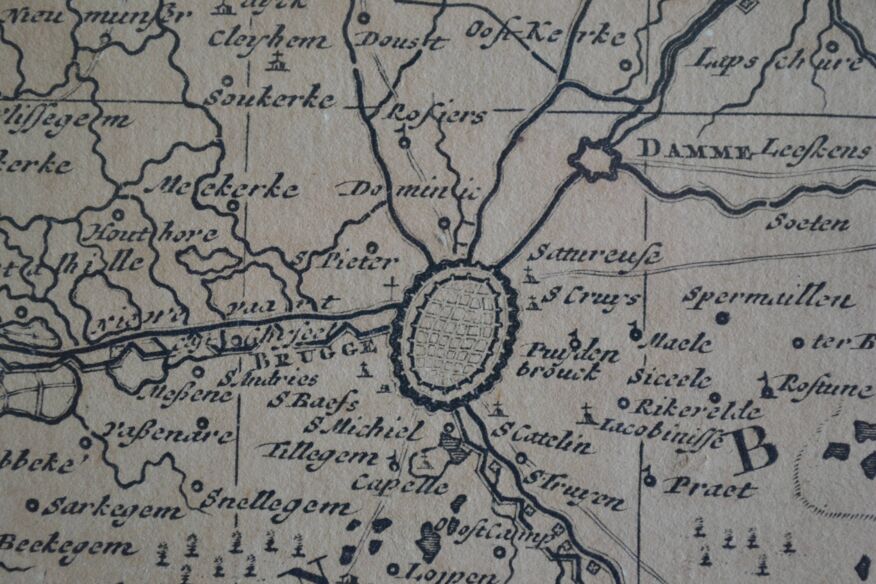
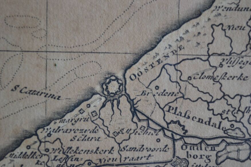
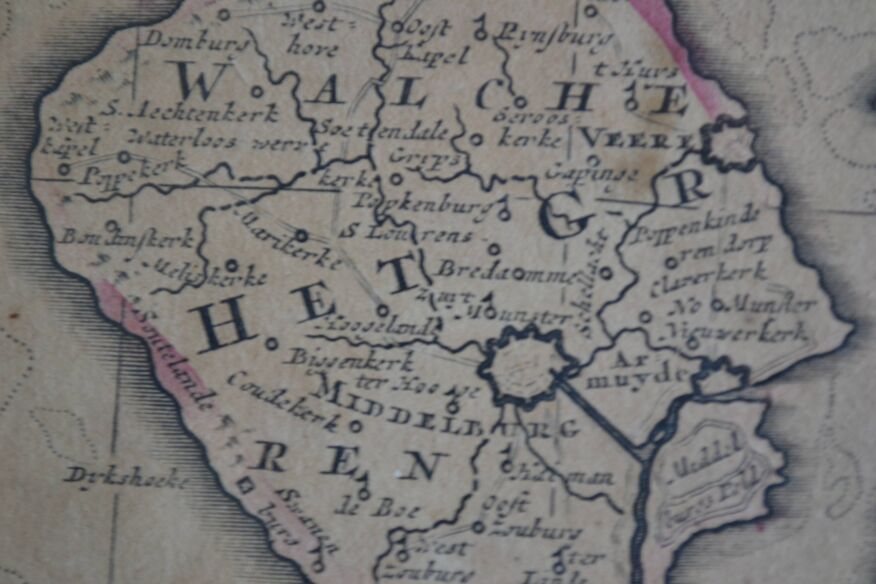
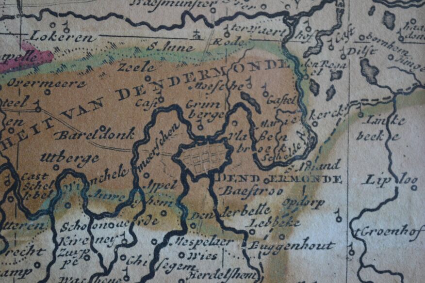
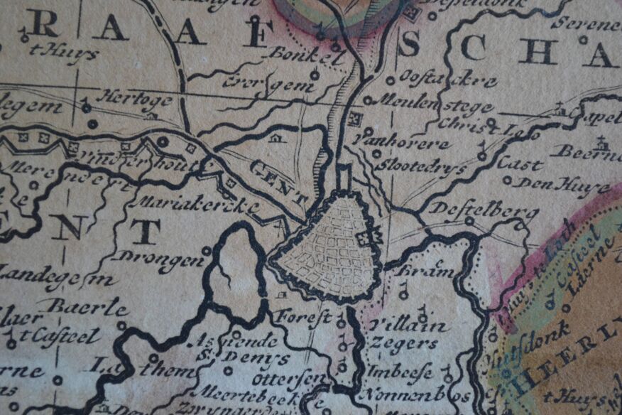
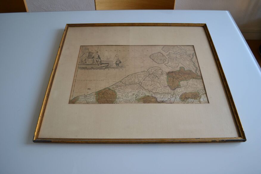
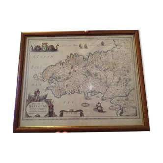
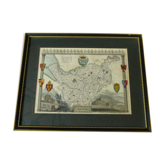
Map of the County of Flanders Belgium by Peter Schenck (1660 1718)
€300
- H57 x W65 x D3
- paper
- white
Super Pro
Sellers like this? We'd like to have thousands of them! This seller has fulfilled all of their clients' expectations. Will you be up next?
4.33 ()
Description
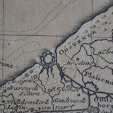
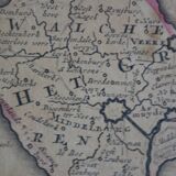
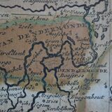
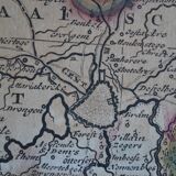
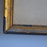
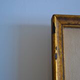
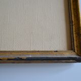
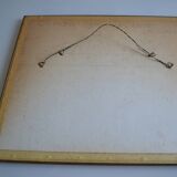
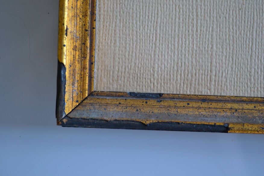
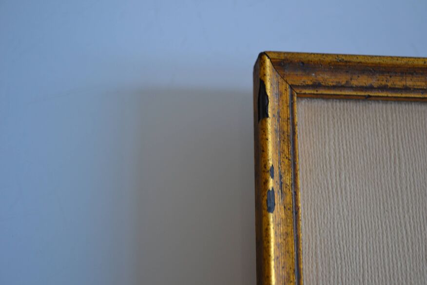
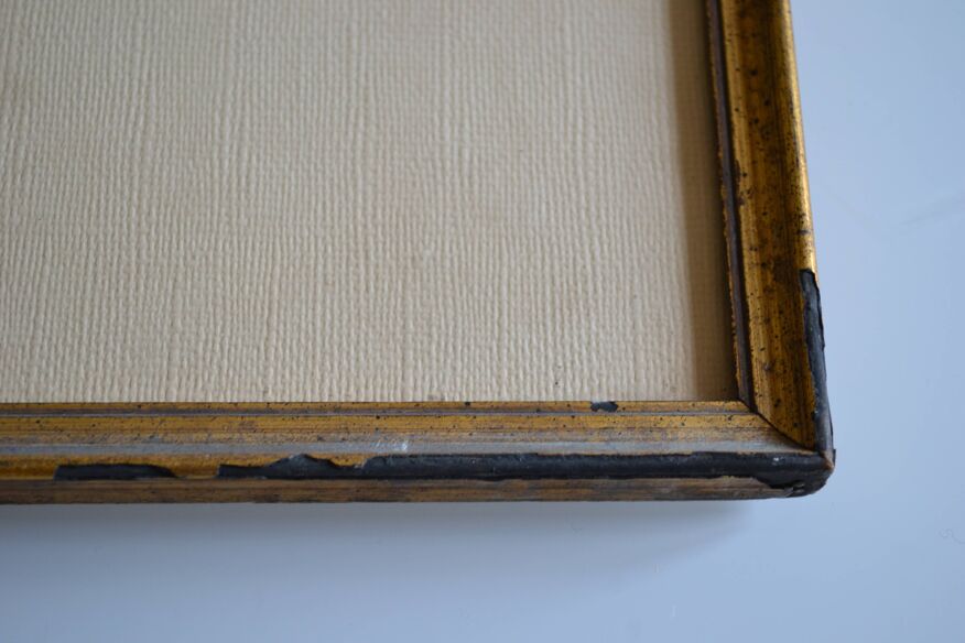
We offer you map of the county of Flanders Belgium "flandriae comitatus" by Peter Schenk (1660 1718) Copper engraving on watermarked laid paper, formerly colorized. Engraving around 1700, late 17th or early 18th century. Appears in Schenk's atlas contractus (ca. 1700) Scale approximately 1: 330,000. Beautifully framed and under glass (small defects in the gilding) Frame dimensions 65/57 cm. Card 64 / 48 cm. Stunning. Low price, worth grabbing.
Ref. : JGRKZBZ4
- Dimensions :
- H57 x W65 x D3
- Color :
- white
- Material :
- paper
- Style :
- classic
Philippe M.
Super Pro
Sellers like this? We'd like to have thousands of them! This seller has fulfilled all of their clients' expectations. Will you be up next?
108 sales
4.33 ()


Return your item within 14 days
Cherry-picked items
Carrefully selected sellers
100% secured payment