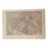
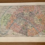
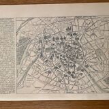
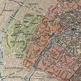
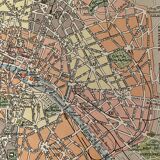
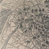
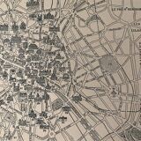
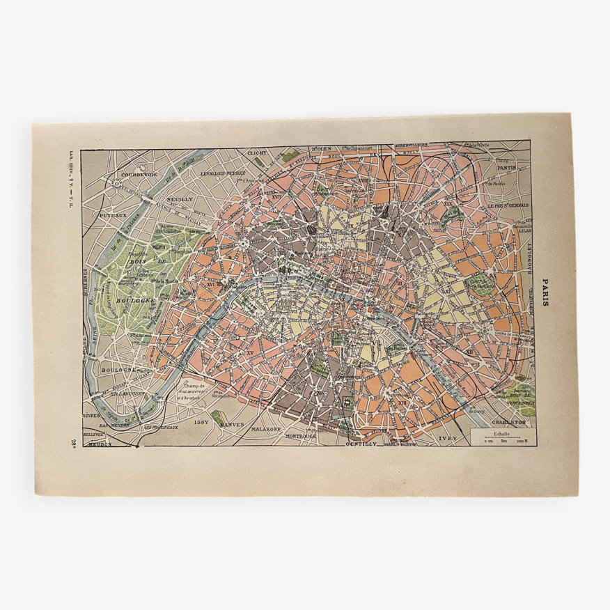
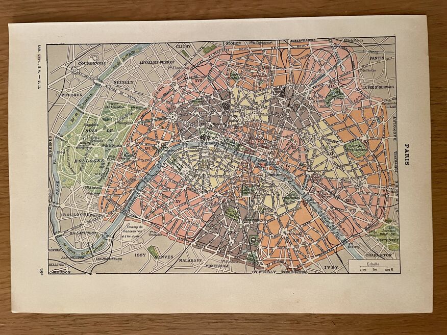
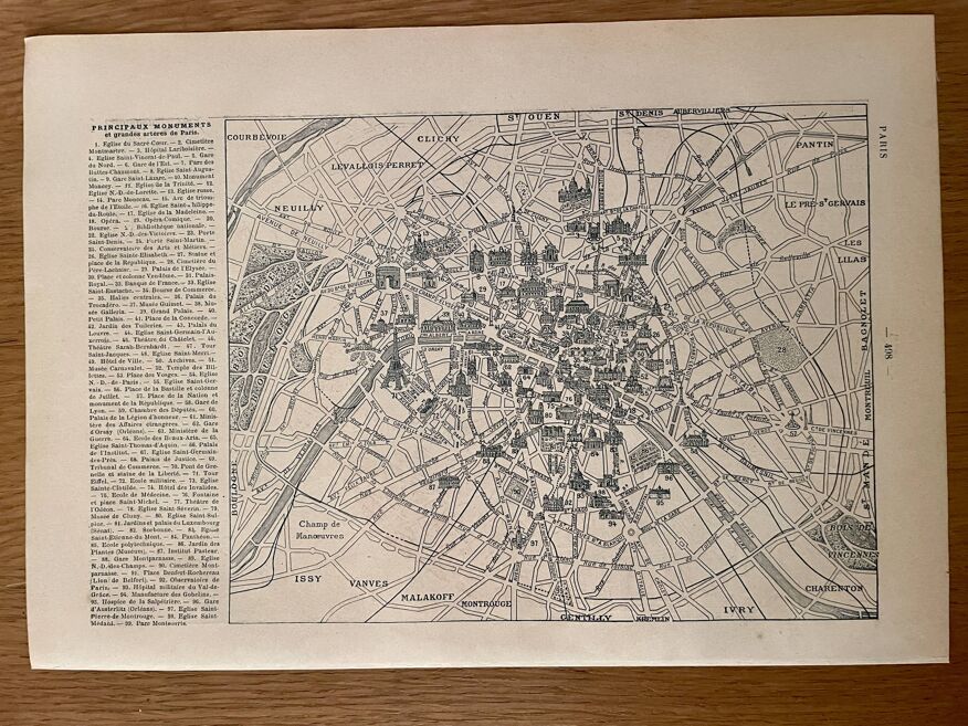
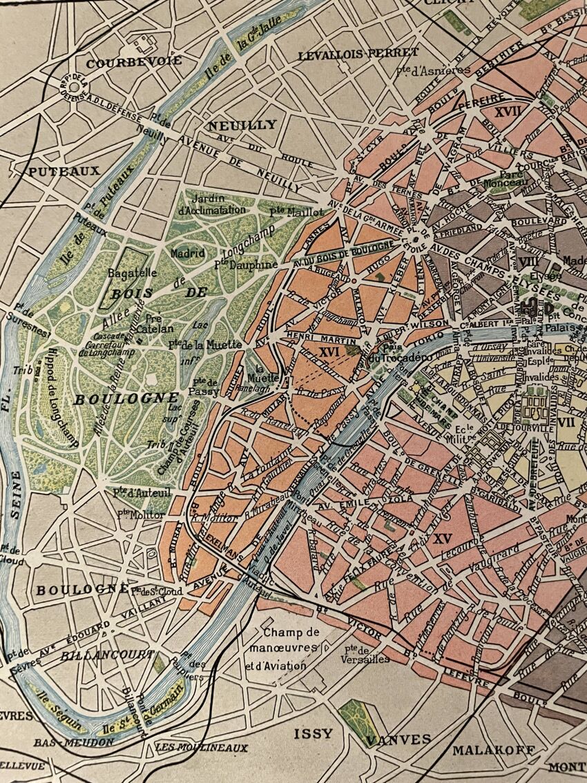
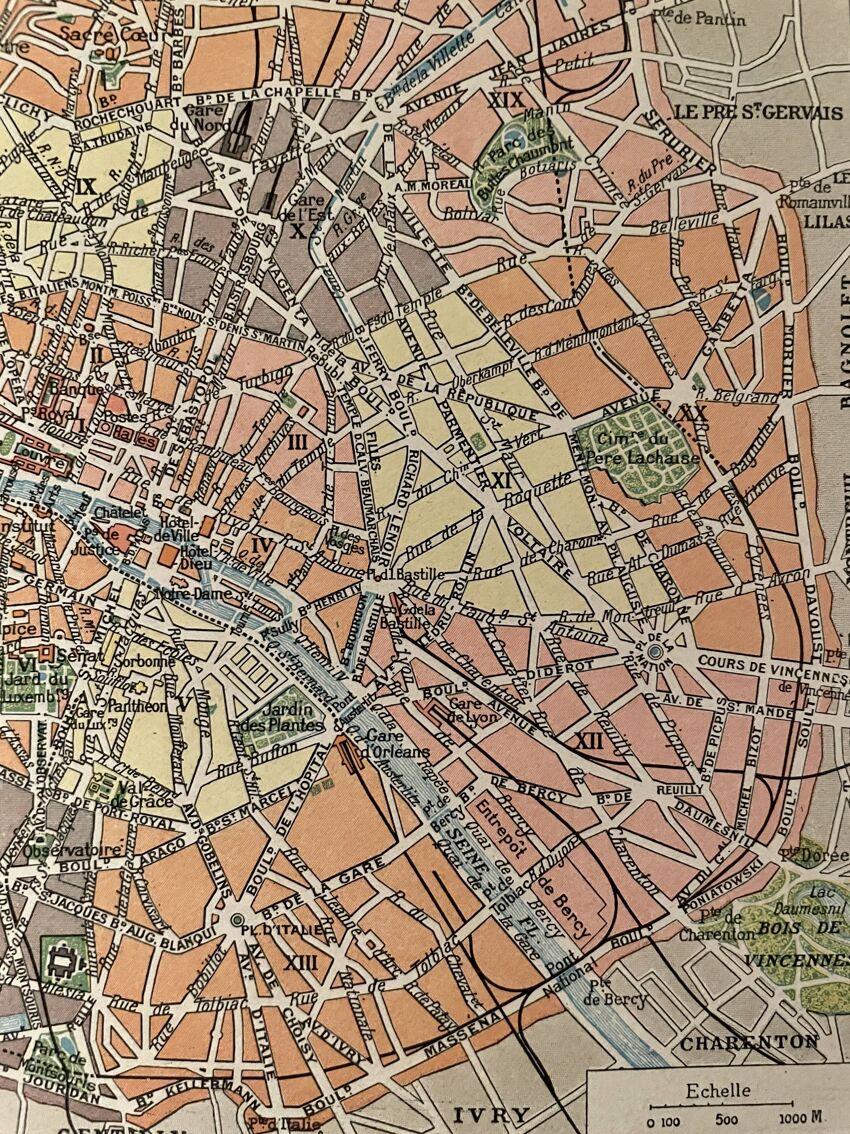
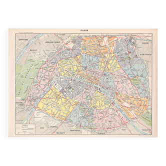
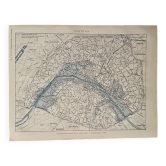
Lithograph map of Paris districts - 1920
- H20 x W29
- paper
- multicolour
4.95 ()
Description
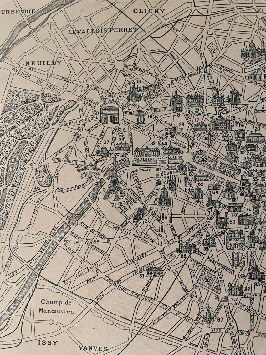
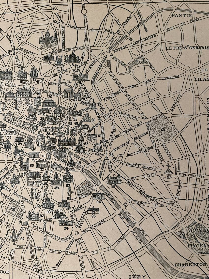
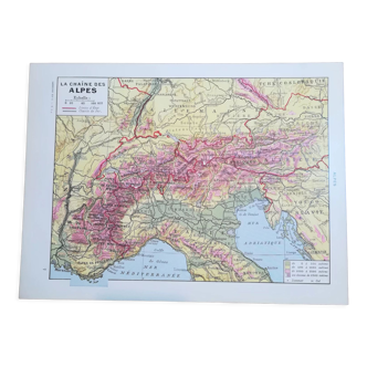
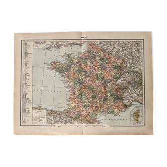
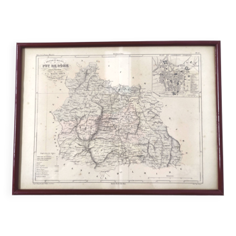
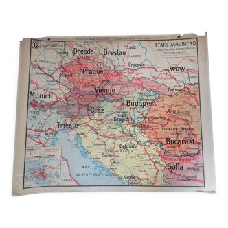
Color map of the districts of paris, taken from an old encyclopedia. 💎 all lithographs and maps on this account are originals and not copies illustrated on the front and back (main monuments) other lithographs and maps illustrated on paris also available on this account publication of the work in the 1920s dimensions: approximately 20.5 X 29 cm to frame decoration, decoration, vintage engraving, christmas gift idea, birthday, city france parisian cartography heritage parisian high schools hotels ministries museums restaurant film and cinema decor railway metro arrondissements arrondissement monuments streets avenues train stations town hall.
Ref. : J2RJTEVB
- Dimensions :
- H20 x W29
- Color :
- multicolour
- Material :
- paper
- Style :
- vintage
4.95 ()

Return your item within 14 days
Cherry-picked items
Carrefully selected sellers
100% secured payment