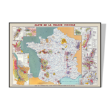


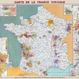

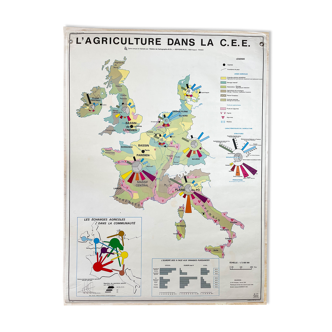
Wine map of France - Vintage map showing wine and wine regions 100x70 cm
- H70 x W100
- paper
- beige
Description
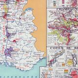
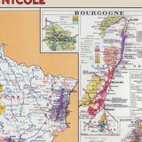
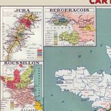
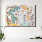
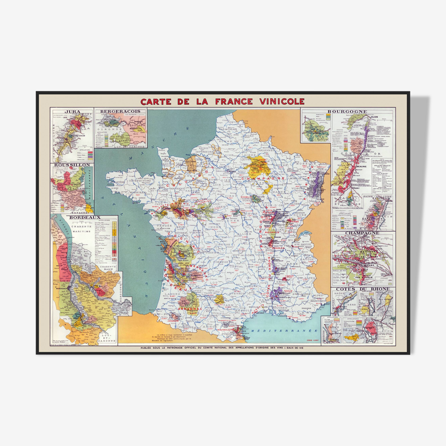
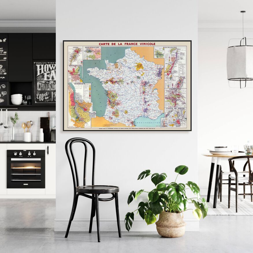
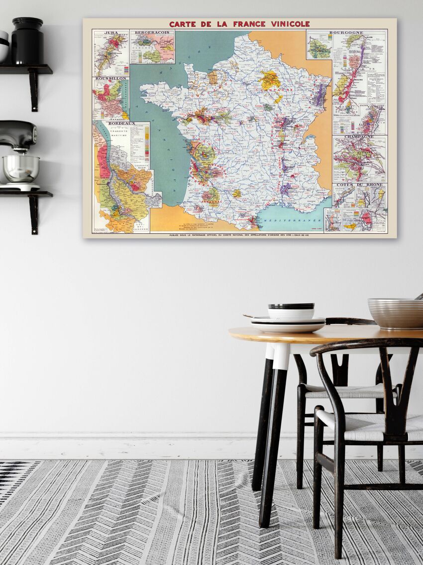
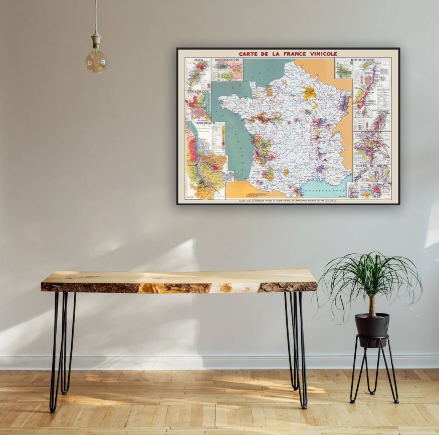
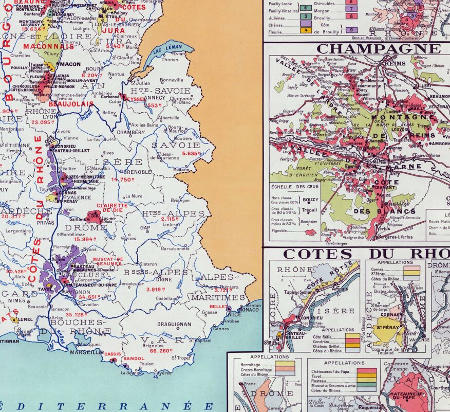
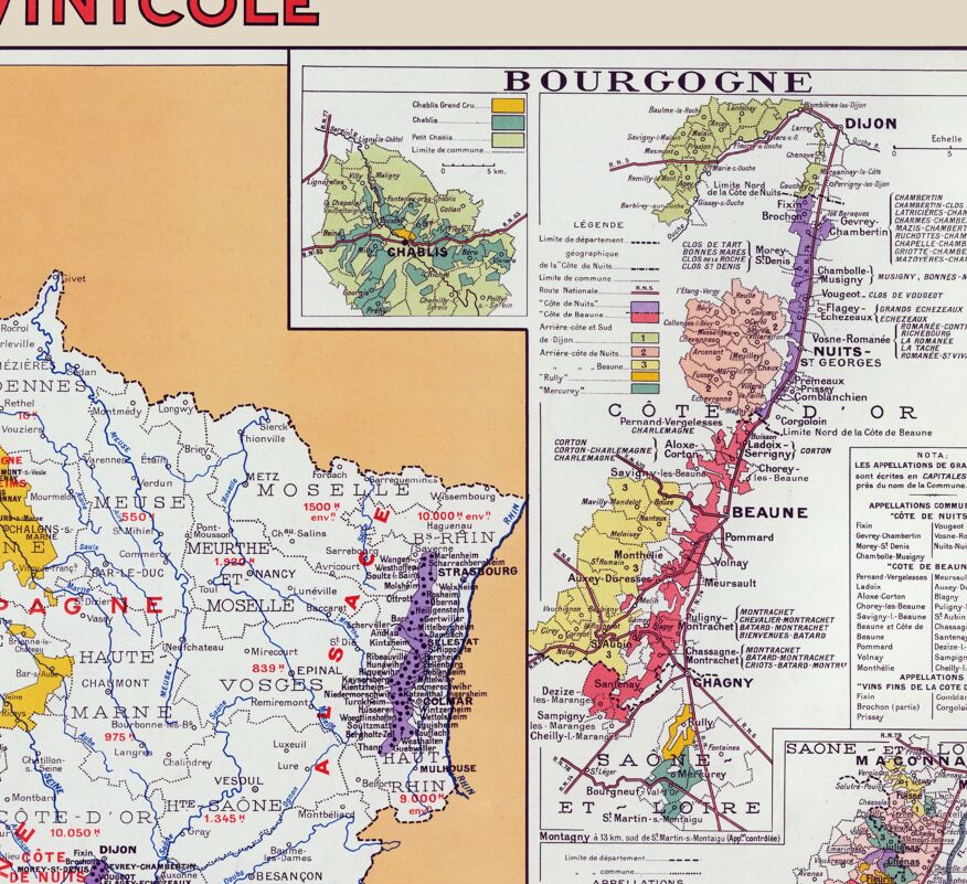
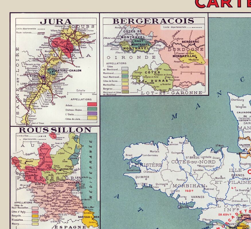
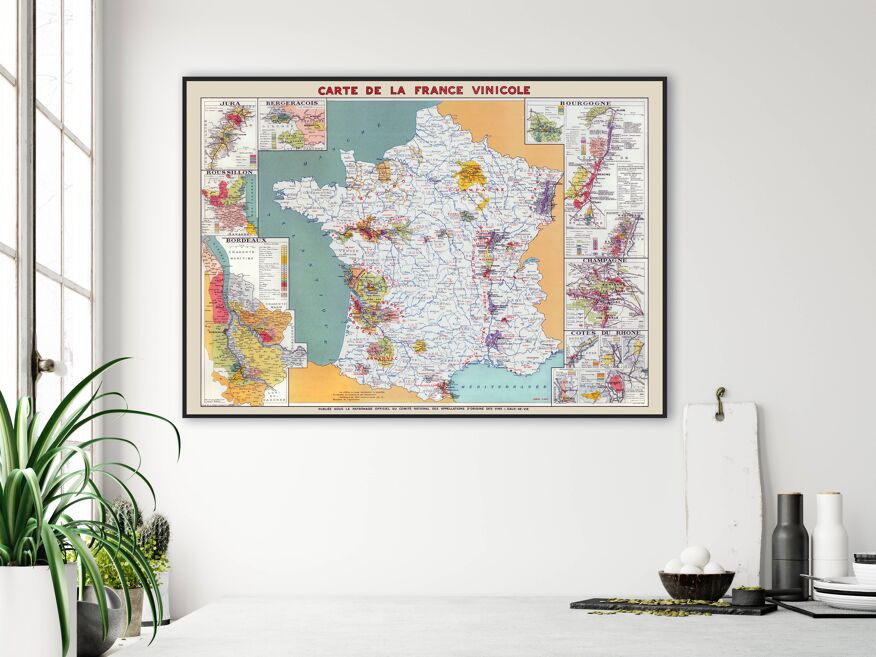
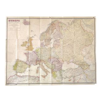
Map of France's wine region, restored vintage map of France showing its wine-growing regions, published in 1945 by Louis Larmat. Magnificent vintage map of France and its famous appellations, Bordeaux and its castles, the Loire Valley, Burgundy, Alsace, Jura, Côtes du Rhône, Rhône Valley, Languedoc-Roussillon, Saint-Emilion, Saint-Estèphe, Graves, Saint-Amour, Chablis, Pouilly-Fuissé, Hermitage, Châteauneuf du Pape, Banyuls, Riesling, Gewurtztraminer, etc. Museum quality poster printed on thick matte paper. • Paper thickness: 10.3 mil. • paper weight: 189 g/m² • opacity: 94% • paper from Japan. • size 28 X 40 inches = 70 × 100 cm.
Ref. : B1B62Z2V
- Dimensions :
- H70 x W100
- Color :
- beige
- Material :
- paper
- Style :
- vintage
Our suggestion of similar items
Discover more similar items


Return your item within 14 days
Cherry-picked items
Carrefully selected sellers
100% secured payment