Page 1 of 5
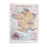
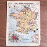
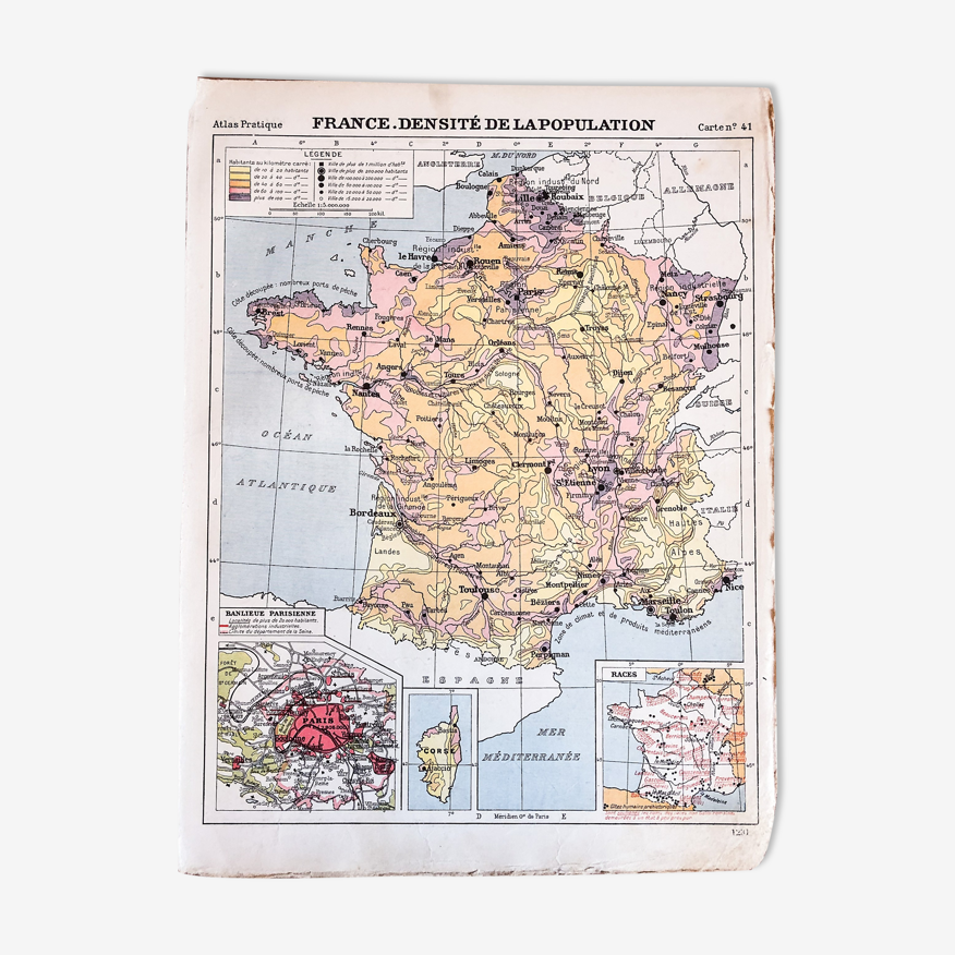
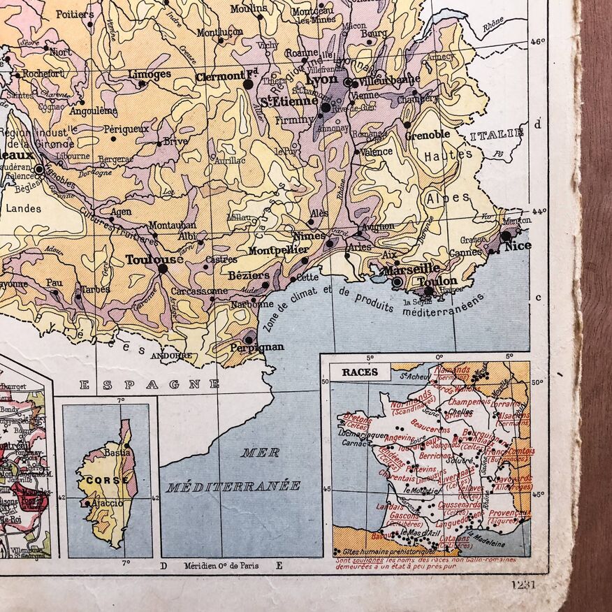
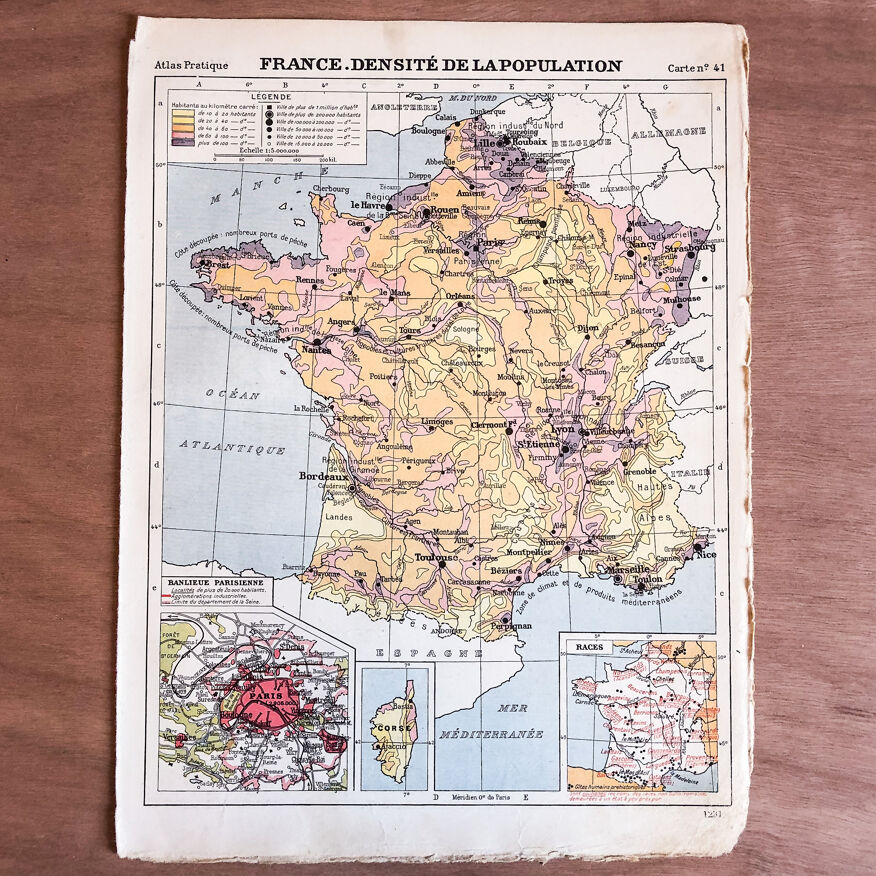
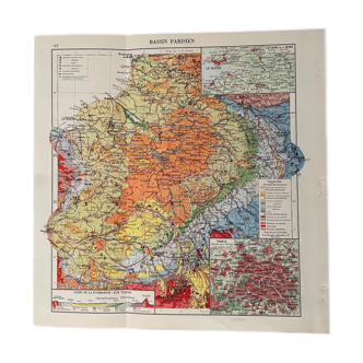
Map of France population density 1929
€23
- H30 x W23
- paper
- multicolour
Professional
This seller has been carefully selected for their reliability and unique items. Let yourself be tempted.
5 ()
Description
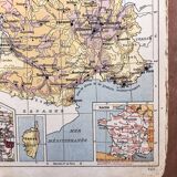
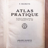
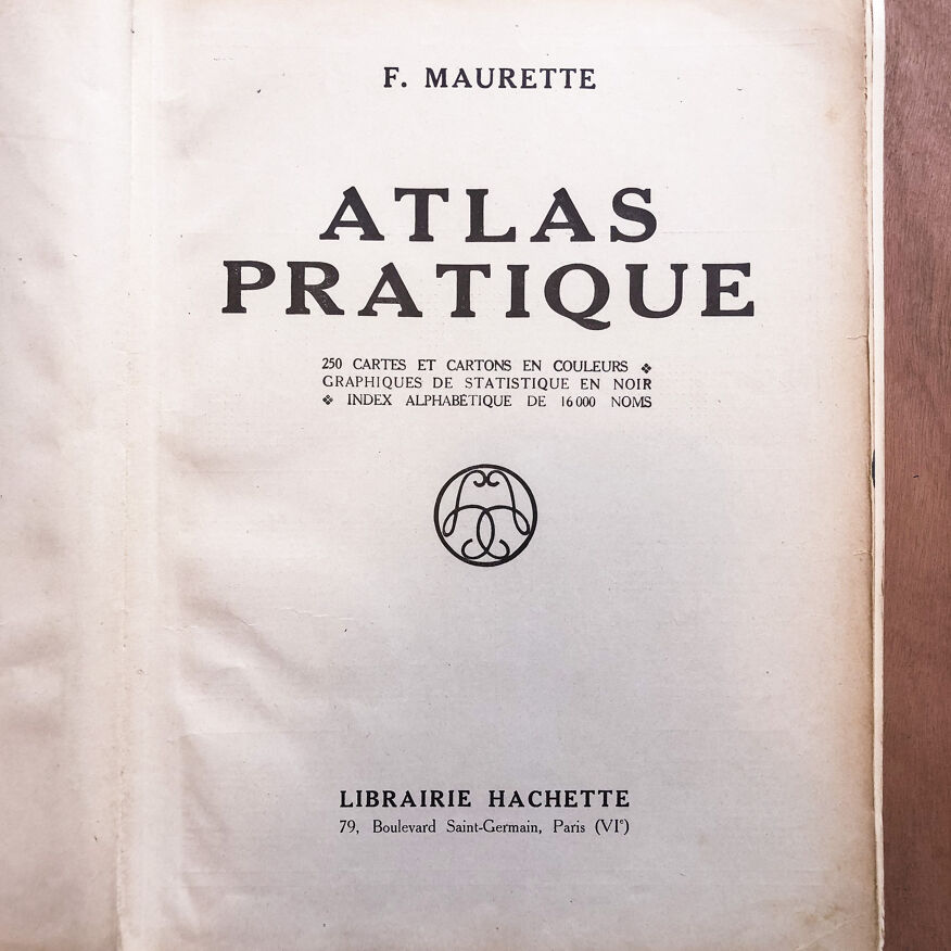
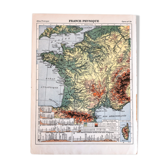
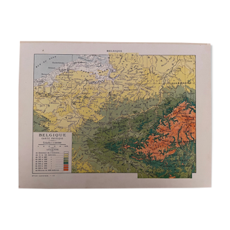
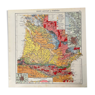
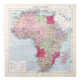
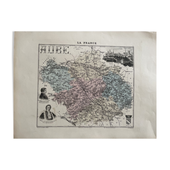
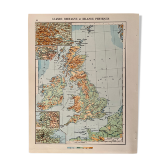
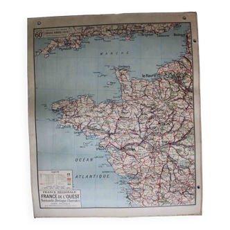
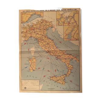
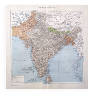
Old 🇫🇷 from f. Maurette's practical atlas of hachette editions of 1929. Several cards available, all in their juices, detached by the time of their book. To be supervised and cherished. Size: 23.2cm X 30.6cm. France, population density, map number 41.
Ref. : 8Y265E1A
- Dimensions :
- H30 x W23
- Color :
- multicolour
- Material :
- paper
- Style :
- vintage
Angéline T.
Professional
This seller has been carefully selected for their reliability and unique items. Let yourself be tempted.
144 sales
5 ()
Return your item within 14 days
Cherry-picked items
Carrefully selected sellers
100% secured payment