


Page 1 of 6
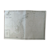
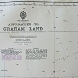
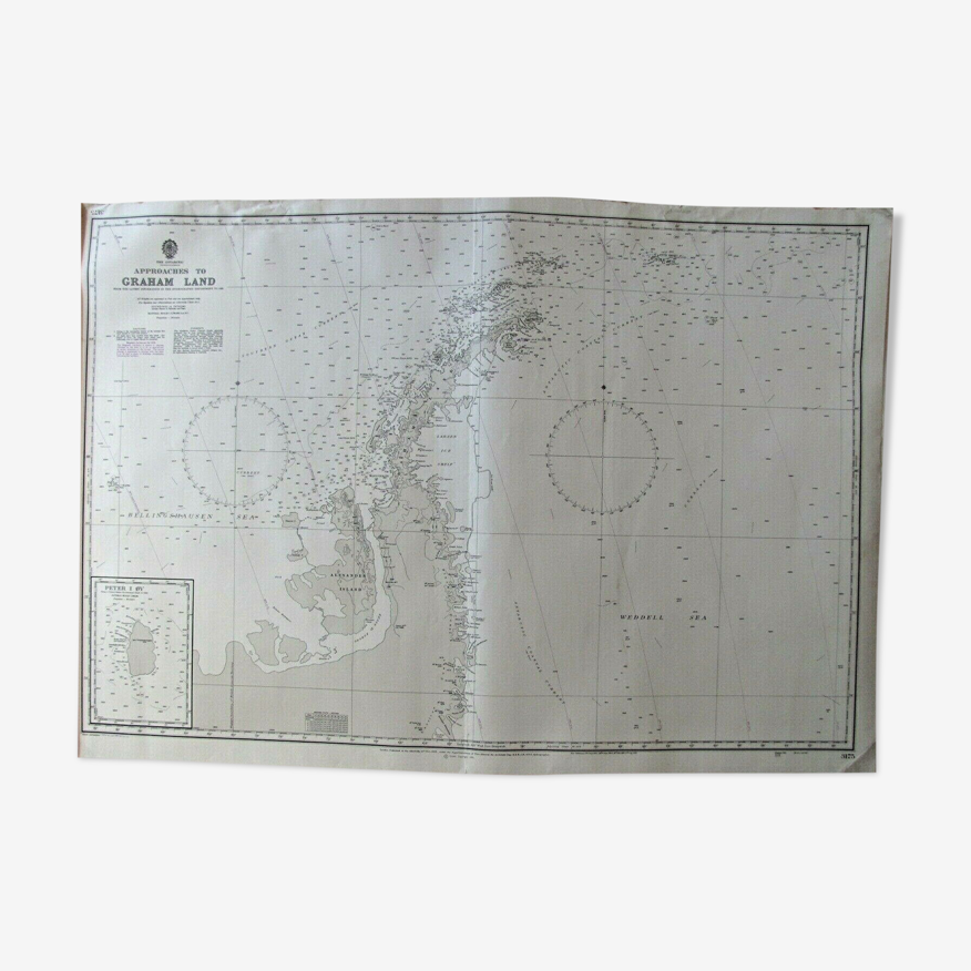
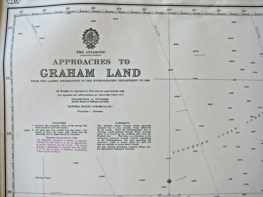
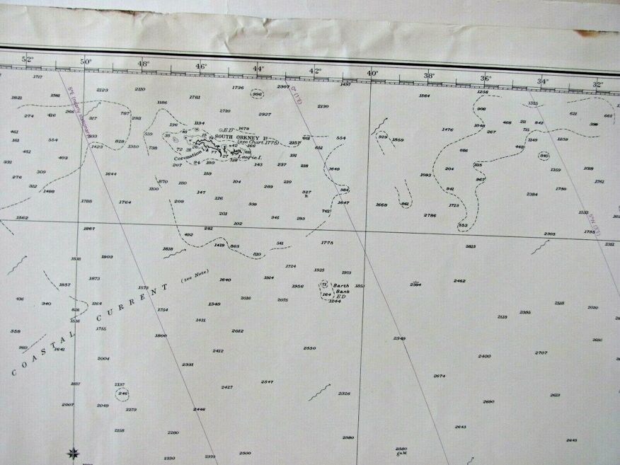
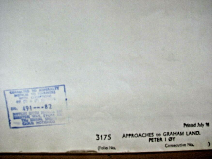
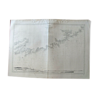
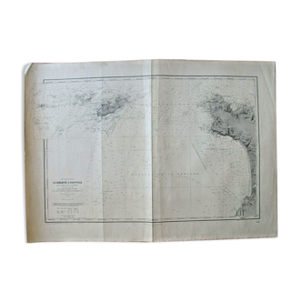
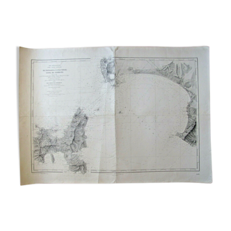
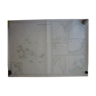
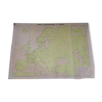
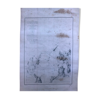
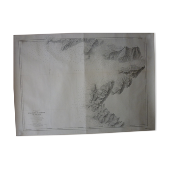
Graham Land - Peter I Oy - Antarctica Chart
€50 €80
- H105 x W74 x D1
- paper
- white
Professional
This seller has been carefully selected for their reliability and unique items. Let yourself be tempted.
4.62 ()
Description
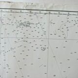
Nautical chart, chart first published by the admiralty in 1954. This map is a reprint from 1976. It measures 105 X 74. State of use, (see photos), this maps have been used on ships, they inevitably bear traces of folds, sometimes in the margin the traces of use are more important, it will be necessary in this case to reduce the margin which measures up to 8cm...
Ref. : 16RQXUBJ
- Dimensions :
- H105 x W74 x D1
- Color :
- white
- Material :
- paper
- Style :
- vintage
Raphael A.
Professional
This seller has been carefully selected for their reliability and unique items. Let yourself be tempted.
348 sales
4.62 ()
Return your item within 14 days
Cherry-picked items
Carrefully selected sellers
100% secured payment