Old School Map No.9 - "The Crusades" - No.10 "France 987-1871"
- H130 x W100 x D1
- paper
- multicolour
Description
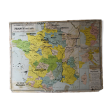
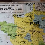
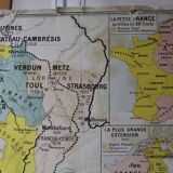
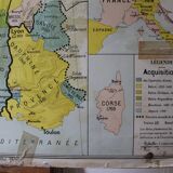
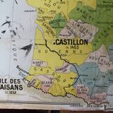
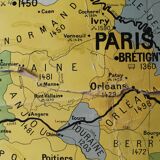
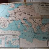
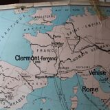
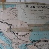
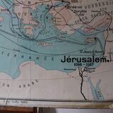
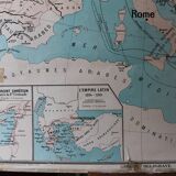
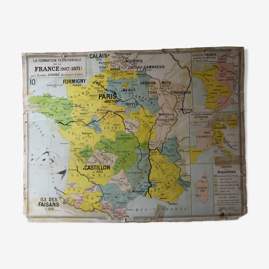
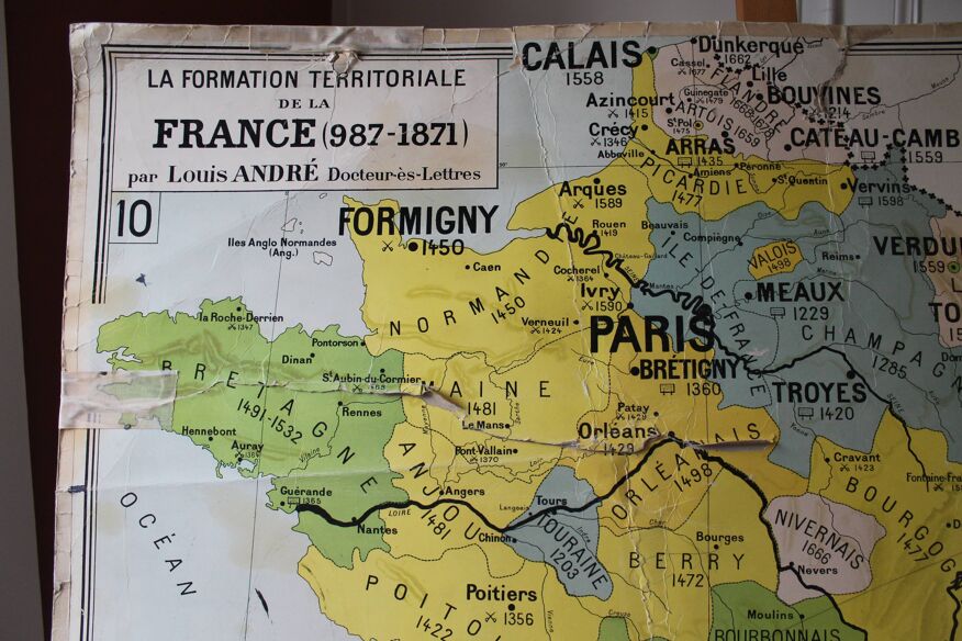
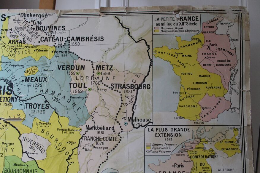
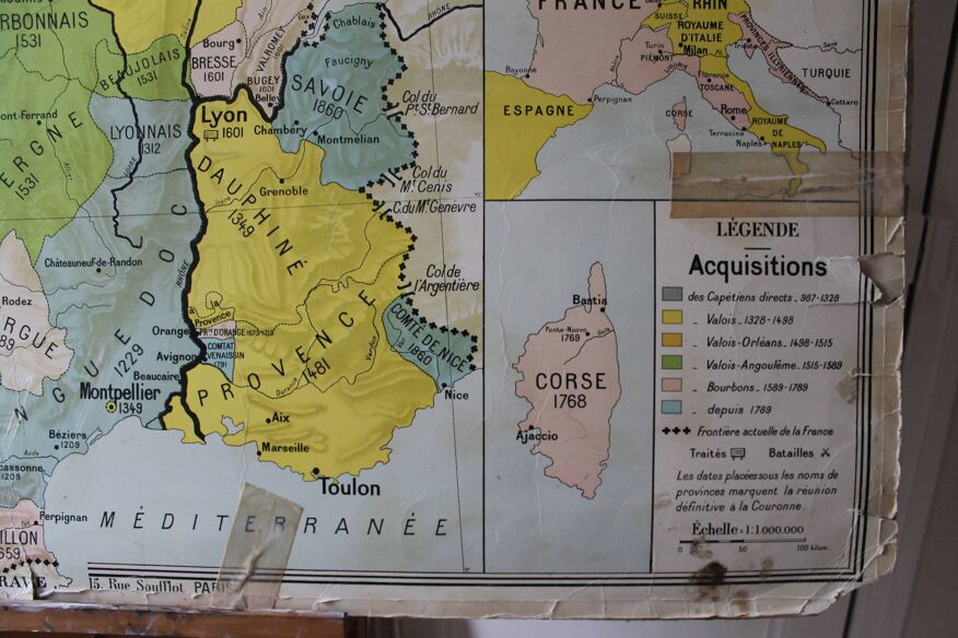
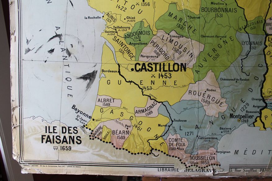
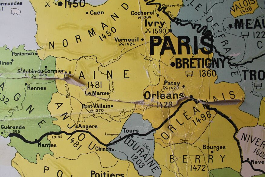
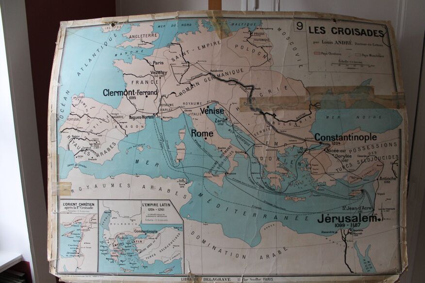
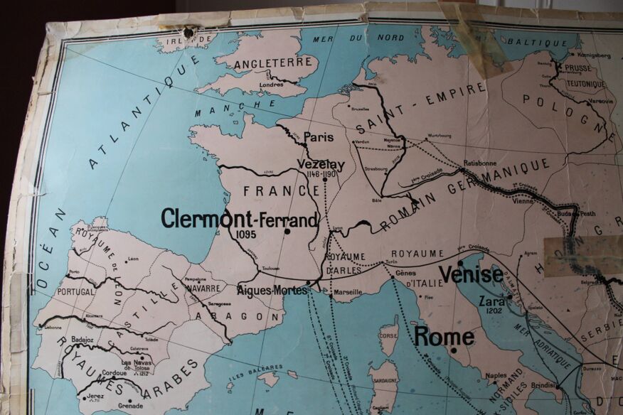
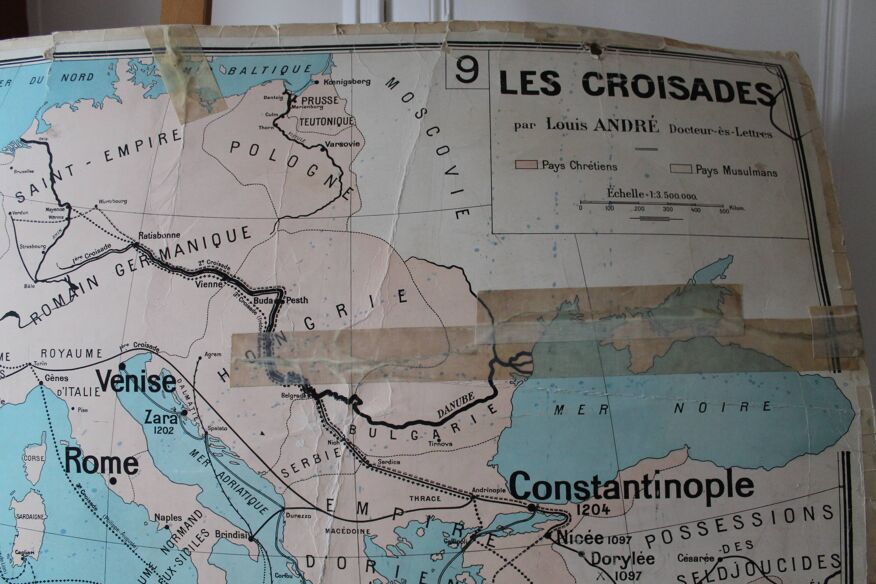
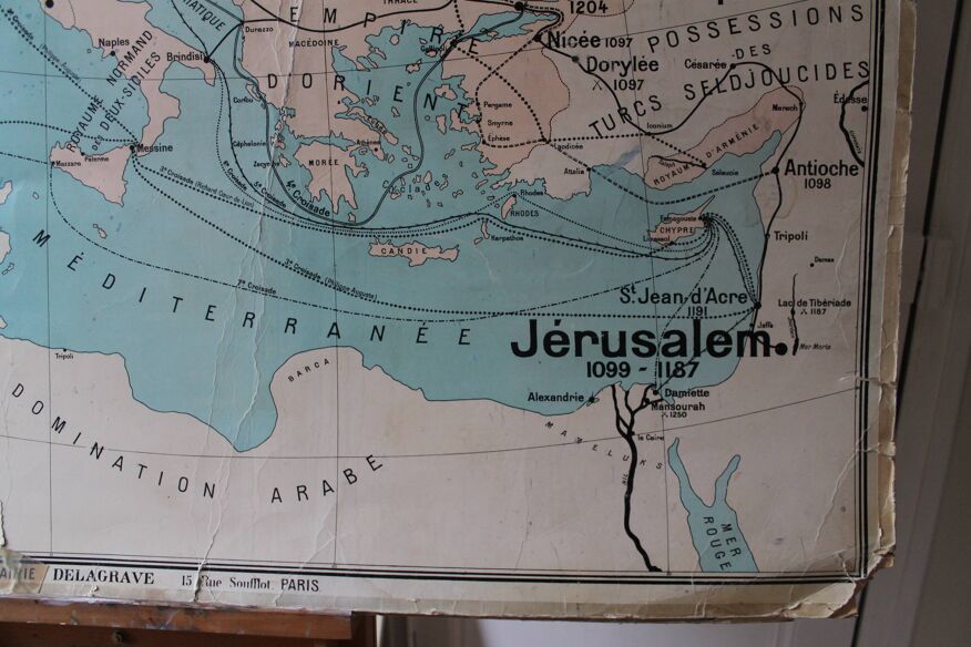
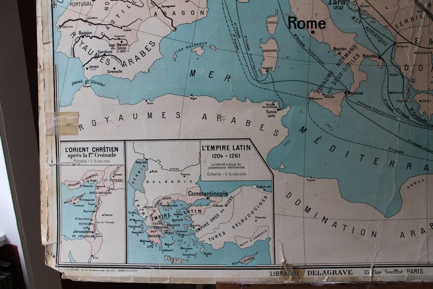
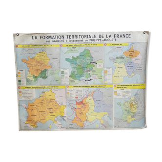
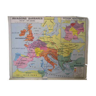
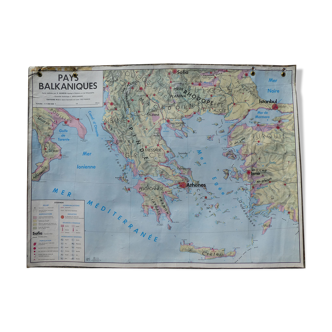
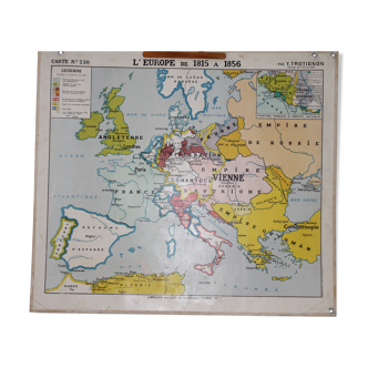
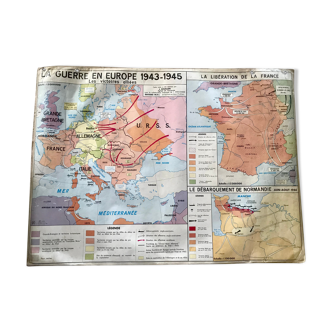
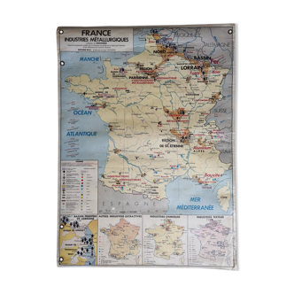
Ancient school map no. 9 - "the crusades" - framed "the christian orient after the 1st crusade" - "the latin empire 1204-1261" front / no.10 "territorial formation of france 987-1871" - framed "little france in the middle of the 12th century" - "the largest extension 1812" By louis andré - delagrave bookstore - michard printing - 1950s-60s. Dimensions: 130x101 cm. General status: very damaged map. It can be hung in the "france" side for a very vintage side or serve as a medium for artistic creation/collage. Several tears, patched by aged scotch. Several ink stains. Missing hang-up eyedilles. Careful sending, slightly rolled card.
Ref. : PK6P5J93
- Dimensions :
- H130 x W100 x D1
- Color :
- multicolour
- Material :
- paper
- Style :
- vintage
Return your item within 14 days
Cherry-picked items
Carrefully selected sellers
100% secured payment